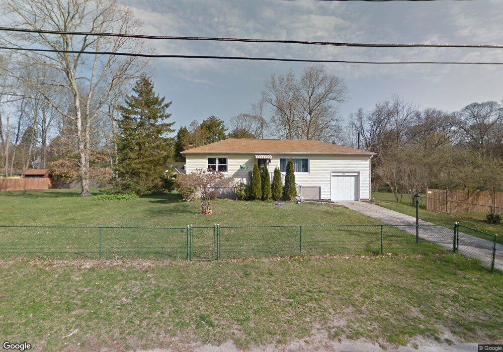
21 Raymond Ave Middle Island, NY 11953
Estimated Value: $457,253 - $532,000
2
Beds
1
Bath
936
Sq Ft
$524/Sq Ft
Est. Value
About This Home
This home is located at 21 Raymond Ave, Middle Island, NY 11953 and is currently estimated at $490,563, approximately $524 per square foot. 21 Raymond Ave is a home located in Suffolk County with nearby schools including Longwood Middle School, Longwood Junior High School, and Longwood Senior High School.
Ownership History
Date
Name
Owned For
Owner Type
Purchase Details
Closed on
May 5, 2010
Sold by
Murphy Robert and Straub Howard F
Bought by
Celentano Dena M
Current Estimated Value
Home Financials for this Owner
Home Financials are based on the most recent Mortgage that was taken out on this home.
Original Mortgage
$196,377
Outstanding Balance
$134,746
Interest Rate
5.62%
Mortgage Type
FHA
Estimated Equity
$355,817
Purchase Details
Closed on
Feb 28, 2003
Sold by
Straub Howard F
Bought by
Hanley John and Hanley Kathleen
Create a Home Valuation Report for This Property
The Home Valuation Report is an in-depth analysis detailing your home's value as well as a comparison with similar homes in the area
Home Values in the Area
Average Home Value in this Area
Purchase History
| Date | Buyer | Sale Price | Title Company |
|---|---|---|---|
| Celentano Dena M | $200,000 | -- | |
| Hanley John | $20,000 | Commonwealth |
Source: Public Records
Mortgage History
| Date | Status | Borrower | Loan Amount |
|---|---|---|---|
| Open | Celentano Dena M | $196,377 |
Source: Public Records
Tax History Compared to Growth
Tax History
| Year | Tax Paid | Tax Assessment Tax Assessment Total Assessment is a certain percentage of the fair market value that is determined by local assessors to be the total taxable value of land and additions on the property. | Land | Improvement |
|---|---|---|---|---|
| 2024 | $6,935 | $1,750 | $150 | $1,600 |
| 2023 | $6,935 | $1,750 | $150 | $1,600 |
| 2022 | $6,152 | $1,750 | $150 | $1,600 |
| 2021 | $6,152 | $1,750 | $150 | $1,600 |
| 2020 | $6,327 | $1,750 | $150 | $1,600 |
| 2019 | $6,327 | $0 | $0 | $0 |
| 2018 | $5,997 | $1,750 | $150 | $1,600 |
| 2017 | $5,997 | $1,750 | $150 | $1,600 |
| 2016 | $5,820 | $1,750 | $150 | $1,600 |
| 2015 | -- | $1,750 | $150 | $1,600 |
| 2014 | -- | $1,750 | $150 | $1,600 |
Source: Public Records
Map
Nearby Homes
- 8 Mill Lot Rd
- 26 N Swezeytown Rd
- 30 Oakcrest Ave
- 37 Cedar Branch St
- 39 White Oak St
- 44 S Swezeytown Rd
- 30 Half Mile Rd
- 0 Lake Terrace Unit KEY883693
- 12 Lakeside Dr
- 1 Philip Ln
- 1 Kate Cir
- 48 Kate Cir
- 10 West St
- 11 Ethan Cir
- 17 Coram Swezeytown Rd
- 5 Lori Ln
- 11 Mauritz Blvd
- 1 Casey Ln Unit 255
- 10 Cedar Grove Terrace
- 4 Cari Ln
- 12 Raymond Ave
- 25 Raymond Ave
- 19 Raymond Ave
- 17 Raymond Ave
- 14 Raymond Ave
- 252 Cedar Branch St
- 10 Raymond Ave
- 16 Evergreen Ave
- 15 Raymond Ave
- 3 Pine Cone St
- 3 Cedar Branch St
- 6 Cedar Branch St
- 5 Pine Cone St
- 11 Raymond Ave
- 5 Cedar Branch St
- 8 Cedar Branch St
- 10 Evergreen Ave
- 12 Evergreen Ave
- 195 Evergreen Ave
- 10 Oakcrest Ave