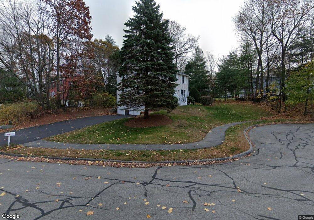
21 Red Coat Rd Shrewsbury, MA 01545
Estimated Value: $808,616 - $902,000
4
Beds
3
Baths
2,100
Sq Ft
$405/Sq Ft
Est. Value
About This Home
This home is located at 21 Red Coat Rd, Shrewsbury, MA 01545 and is currently estimated at $850,904, approximately $405 per square foot. 21 Red Coat Rd is a home located in Worcester County with nearby schools including Spring Street Elementary School, Sherwood Middle School, and Oak Middle School.
Ownership History
Date
Name
Owned For
Owner Type
Purchase Details
Closed on
Aug 31, 2010
Sold by
Relocation Advantage L and Robison Macy
Bought by
Moyal Steve D and Moyal Kerry L
Current Estimated Value
Home Financials for this Owner
Home Financials are based on the most recent Mortgage that was taken out on this home.
Original Mortgage
$336,000
Outstanding Balance
$223,331
Interest Rate
4.57%
Mortgage Type
Purchase Money Mortgage
Estimated Equity
$627,573
Purchase Details
Closed on
Jun 23, 2006
Sold by
Dipilato Christopher J and Dipilato Julie A
Bought by
Robison Macy and Robison Neal
Purchase Details
Closed on
Oct 15, 1996
Sold by
Collins John P and Collins Joanne
Bought by
Dipilato Christopher and Dipilato Julie
Create a Home Valuation Report for This Property
The Home Valuation Report is an in-depth analysis detailing your home's value as well as a comparison with similar homes in the area
Home Values in the Area
Average Home Value in this Area
Purchase History
| Date | Buyer | Sale Price | Title Company |
|---|---|---|---|
| Moyal Steve D | $420,000 | -- | |
| Moyal Steve D | $420,000 | -- | |
| Moyal Steve D | $420,000 | -- | |
| Relocation Advantage L | $420,000 | -- | |
| Relocation Advantage L | $420,000 | -- | |
| Robison Macy | $450,000 | -- | |
| Robison Macy | $450,000 | -- | |
| Robison Macy | $450,000 | -- | |
| Dipilato Christopher | $179,900 | -- | |
| Dipilato Christopher | $179,900 | -- |
Source: Public Records
Mortgage History
| Date | Status | Borrower | Loan Amount |
|---|---|---|---|
| Open | Moyal Steve D | $336,000 | |
| Closed | Moyal Steve D | $336,000 | |
| Previous Owner | Dipilato Christopher | $344,195 |
Source: Public Records
Tax History Compared to Growth
Tax History
| Year | Tax Paid | Tax Assessment Tax Assessment Total Assessment is a certain percentage of the fair market value that is determined by local assessors to be the total taxable value of land and additions on the property. | Land | Improvement |
|---|---|---|---|---|
| 2025 | $85 | $704,600 | $285,900 | $418,700 |
| 2024 | $8,309 | $671,200 | $272,300 | $398,900 |
| 2023 | $7,930 | $604,400 | $272,300 | $332,100 |
| 2022 | $6,942 | $492,000 | $214,000 | $278,000 |
| 2021 | $6,235 | $472,700 | $214,000 | $258,700 |
| 2020 | $5,928 | $475,400 | $214,000 | $261,400 |
| 2019 | $5,672 | $451,200 | $199,100 | $252,100 |
| 2018 | $5,213 | $411,800 | $186,000 | $225,800 |
| 2017 | $4,968 | $387,200 | $168,500 | $218,700 |
| 2016 | $4,953 | $381,000 | $157,500 | $223,500 |
| 2015 | $4,767 | $361,100 | $142,300 | $218,800 |
Source: Public Records
Map
Nearby Homes
- 11 Adin Dr
- 5 Highland Hill Dr
- 251 Boylston St Unit 253
- 10 Karen Ave
- 7 Holman Heights Cir
- 148 Spring St
- 11 Cranbrook Rd
- Lot 11 High St
- 20 Olde Colony Dr
- 40 High St
- 20 Rawson Hill Dr
- 26 High St
- 26 Blackthorn Rd
- 11 Country Way
- 10 High St
- 9 Morningside Dr
- 515 Main St
- 209 North St
- 7 Wesleyan St
- 3 Colonial Way
- 19 Red Coat Rd
- 8 Broushane Cir
- 10 Broushane Cir
- 20 Red Coat Rd
- 24 Red Coat Rd
- 22 Red Coat Rd
- 16 Red Coat Rd
- 6 Broushane Cir
- 17 Red Coat Rd
- 11 Broushane Cir
- 7 Broushane Cir
- 15 Red Coat Rd
- 33 Foxhill Rd
- 35 Foxhill Rd
- 14 Mercury Dr
- 18 Mercury Dr
- 10 Mercury Dr
- 4 Broushane Cir
- 22 Mercury Dr
- 31 Foxhill Rd