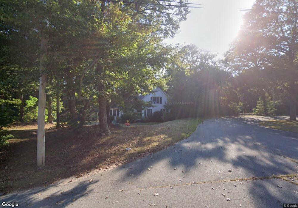
21 Ridge Top Rd Cotuit, MA 02635
Cotuit NeighborhoodEstimated Value: $567,895 - $677,000
3
Beds
3
Baths
1,201
Sq Ft
$531/Sq Ft
Est. Value
About This Home
This home is located at 21 Ridge Top Rd, Cotuit, MA 02635 and is currently estimated at $637,974, approximately $531 per square foot. 21 Ridge Top Rd is a home located in Barnstable County with nearby schools including West Villages Elementary School, Barnstable United Elementary School, and Barnstable Intermediate School.
Ownership History
Date
Name
Owned For
Owner Type
Purchase Details
Closed on
Apr 30, 1997
Sold by
Pope Meredith
Bought by
Rencurrel Curtis B
Current Estimated Value
Purchase Details
Closed on
Nov 18, 1992
Sold by
Mcshane Constr Co Inc
Bought by
Pope Meredith
Purchase Details
Closed on
Jan 31, 1992
Sold by
Raymond C Green & Co
Bought by
Mcshane Constr Inc
Create a Home Valuation Report for This Property
The Home Valuation Report is an in-depth analysis detailing your home's value as well as a comparison with similar homes in the area
Home Values in the Area
Average Home Value in this Area
Purchase History
| Date | Buyer | Sale Price | Title Company |
|---|---|---|---|
| Rencurrel Curtis B | $125,000 | -- | |
| Pope Meredith | $119,000 | -- | |
| Mcshane Constr Inc | $52,500 | -- |
Source: Public Records
Mortgage History
| Date | Status | Borrower | Loan Amount |
|---|---|---|---|
| Open | Mcshane Constr Inc | $132,000 | |
| Closed | Mcshane Constr Inc | $147,072 |
Source: Public Records
Tax History
| Year | Tax Paid | Tax Assessment Tax Assessment Total Assessment is a certain percentage of the fair market value that is determined by local assessors to be the total taxable value of land and additions on the property. | Land | Improvement |
|---|---|---|---|---|
| 2025 | $4,100 | $491,000 | $150,900 | $340,100 |
| 2024 | $3,719 | $471,900 | $150,900 | $321,000 |
| 2023 | $3,522 | $420,800 | $137,200 | $283,600 |
| 2022 | $3,522 | $340,600 | $101,600 | $239,000 |
| 2021 | $3,356 | $304,000 | $101,600 | $202,400 |
| 2020 | $3,541 | $302,400 | $101,600 | $200,800 |
| 2019 | $3,316 | $279,100 | $101,600 | $177,500 |
| 2018 | $3,095 | $260,500 | $107,000 | $153,500 |
| 2017 | $2,987 | $253,100 | $107,000 | $146,100 |
| 2016 | $2,921 | $253,800 | $107,700 | $146,100 |
| 2015 | $2,807 | $243,700 | $104,100 | $139,600 |
Source: Public Records
Map
Nearby Homes
- 78 Brittany Dr
- 170 Forest Hills Rd
- 1456 Santuit-Newtown Rd
- 75 Bob White Run
- 15 Geraldine Rd
- 152 Wakeby Rd
- 35 Santuit Pond Way Unit 7B
- 173 Main St
- 19 Oriole Ln
- 235 Main St
- 4 Bishops Park
- 602 Putnam Ave
- 22 Stratford Ridge Unit 22
- 1415 Old Post Rd
- 544 Cotuit Rd
- 226 Dunrobin Rd
- 45 Fox Hill Rd
- 16 Spring Brook Ln
- 68 Fox Hill Rd
- 22 Candlewood Ln
- 29 Ridge Top Rd
- 0 Ridge Top Rd
- 1111 Santuit Newtown Rd
- 14 Ridge Top Rd
- 32 Ridge Top Rd
- 1111 Santuit Newtown Rd
- 1111 Santuit-Newtown Rd
- 31 Ridge Top Rd
- 1090 Santuit-Newtown Rd
- 1102 Santuit-Newtown Rd
- 1090 Santuit Newtown Rd
- 9 Michelle Ave
- 17 Whites Ln
- 1102 Santuit Newtown Rd
- 1074 Santuit Newtown Rd
- 1057 Santuit Newtown Rd
- 1057 Santuit-Newtown Rd
- 1056 Santuit Newtown Rd
- 1124 Santuit Newtown Rd
- 1124 Santuit-Newtown Rd
Your Personal Tour Guide
Ask me questions while you tour the home.