Estimated Value: $178,915 - $236,000
--
Bed
2
Baths
1,605
Sq Ft
$133/Sq Ft
Est. Value
About This Home
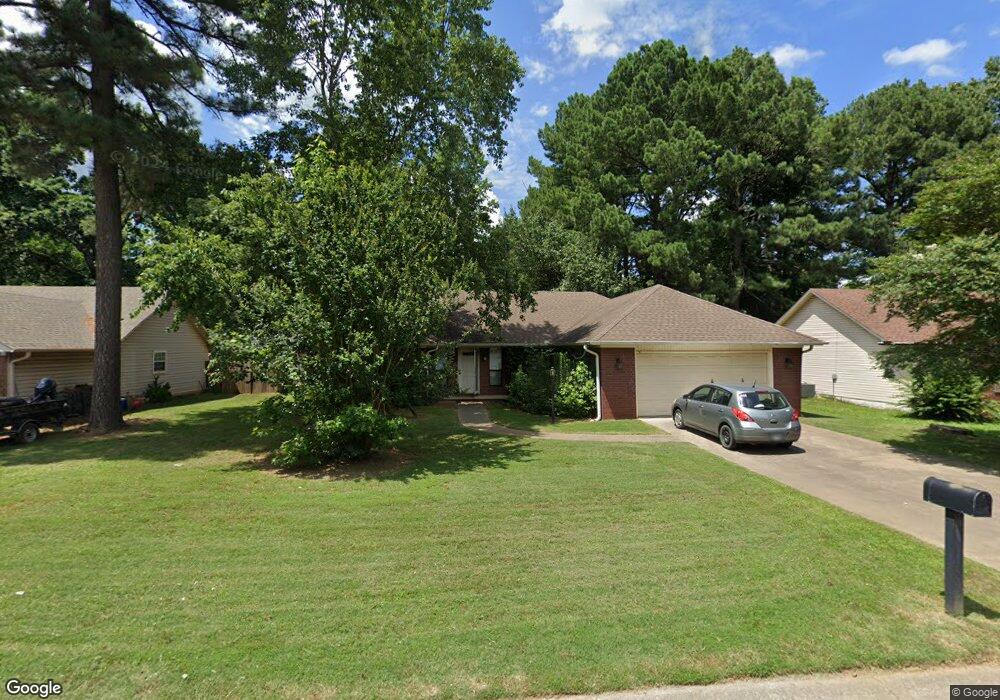
This home is located at 21 Robin Ln, Cabot, AR 72023 and is currently estimated at $212,979, approximately $132 per square foot. 21 Robin Ln is a home located in Lonoke County with nearby schools including Central Elementary School, Cabot Junior High South, and Cabot Middle School South.
Ownership History
Date
Name
Owned For
Owner Type
Purchase Details
Closed on
Sep 14, 2006
Sold by
Baskin Joyce
Bought by
Bland Jerry Wayne and Bland Doris Jean
Current Estimated Value
Home Financials for this Owner
Home Financials are based on the most recent Mortgage that was taken out on this home.
Original Mortgage
$124,900
Outstanding Balance
$74,516
Interest Rate
6.55%
Estimated Equity
$138,463
Purchase Details
Closed on
Sep 8, 2006
Sold by
Baskin Joyce
Bought by
Bland Jerry Wayne and Bland Doris Jean
Home Financials for this Owner
Home Financials are based on the most recent Mortgage that was taken out on this home.
Original Mortgage
$124,900
Outstanding Balance
$74,516
Interest Rate
6.55%
Estimated Equity
$138,463
Purchase Details
Closed on
Jan 3, 1996
Bought by
Baskin and Wf Joyce
Purchase Details
Closed on
Jul 10, 1995
Bought by
Haggard Const
Create a Home Valuation Report for This Property
The Home Valuation Report is an in-depth analysis detailing your home's value as well as a comparison with similar homes in the area
Home Values in the Area
Average Home Value in this Area
Purchase History
| Date | Buyer | Sale Price | Title Company |
|---|---|---|---|
| Bland Jerry Wayne | -- | -- | |
| Bland Jerry Wayne | -- | -- | |
| Baskin | $94,000 | -- | |
| Baskin | $94,000 | -- | |
| Haggard Const | $12,000 | -- |
Source: Public Records
Mortgage History
| Date | Status | Borrower | Loan Amount |
|---|---|---|---|
| Open | Bland Jerry Wayne | $124,900 | |
| Closed | Bland Jerry Wayne | $124,900 |
Source: Public Records
Tax History Compared to Growth
Tax History
| Year | Tax Paid | Tax Assessment Tax Assessment Total Assessment is a certain percentage of the fair market value that is determined by local assessors to be the total taxable value of land and additions on the property. | Land | Improvement |
|---|---|---|---|---|
| 2025 | $911 | $26,240 | $2,800 | $23,440 |
| 2024 | $911 | $26,240 | $2,800 | $23,440 |
| 2023 | $911 | $26,240 | $2,800 | $23,440 |
| 2022 | $961 | $26,240 | $2,800 | $23,440 |
| 2021 | $939 | $26,240 | $2,800 | $23,440 |
| 2020 | $876 | $24,580 | $2,800 | $21,780 |
| 2019 | $876 | $24,580 | $2,800 | $21,780 |
| 2018 | $864 | $24,580 | $2,800 | $21,780 |
| 2017 | $1,128 | $24,580 | $2,800 | $21,780 |
| 2016 | $864 | $24,580 | $2,800 | $21,780 |
| 2015 | $822 | $23,720 | $2,800 | $20,920 |
| 2014 | $822 | $23,720 | $2,800 | $20,920 |
Source: Public Records
Map
Nearby Homes
- 34 Bent Tree Dr
- 40 Bent Tree Dr
- 69 Sycamore Cir
- 00 Plaza Blvd
- 65 Oak Meadows Dr
- 18 Sycamore St
- 50 Daly Dr
- 23 Robinson St
- 30 Meadowlark Dr
- 30 Pheasant Run Dr
- 83 Earnhardt Cir
- 23 Alexis Dr
- 00 Kerr Station Rd
- 1309 S Pine St
- 511 S Grant St
- 509 E Myrtle St
- 14 Cambridge Ln
- 12 Raspberry Ln
- 00000 Campground Rd
- 107 Forrest Loop