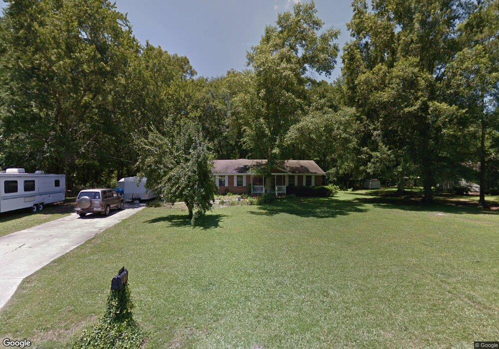
21 Robin Rd Lumberton, NC 28358
Estimated Value: $143,000 - $223,000
3
Beds
2
Baths
1,730
Sq Ft
$109/Sq Ft
Est. Value
About This Home
This home is located at 21 Robin Rd, Lumberton, NC 28358 and is currently estimated at $188,467, approximately $108 per square foot. 21 Robin Rd is a home located in Robeson County with nearby schools including Tanglewood Elementary School, Parkton Elementary School, and L. Gilbert Carroll Middle School.
Ownership History
Date
Name
Owned For
Owner Type
Purchase Details
Closed on
May 14, 2024
Sold by
Matzke Kenneth G and Matzke Teresa
Bought by
Bell Todd and Bell Ann Marie
Current Estimated Value
Home Financials for this Owner
Home Financials are based on the most recent Mortgage that was taken out on this home.
Original Mortgage
$12,500
Outstanding Balance
$12,323
Interest Rate
6.82%
Estimated Equity
$176,144
Purchase Details
Closed on
Aug 3, 2018
Sold by
Mcdaniel Pamela L and Mcdaniel Robert Corey
Bought by
Matzke Kenneth G and Matzke Teresa
Home Financials for this Owner
Home Financials are based on the most recent Mortgage that was taken out on this home.
Original Mortgage
$100,325
Interest Rate
4.99%
Mortgage Type
FHA
Purchase Details
Closed on
Jan 1, 1996
Sold by
Walters Emily Rose
Bought by
Matzke Kenneth G Matzke Pamela A
Create a Home Valuation Report for This Property
The Home Valuation Report is an in-depth analysis detailing your home's value as well as a comparison with similar homes in the area
Purchase History
| Date | Buyer | Sale Price | Title Company |
|---|---|---|---|
| Bell Todd | $140,000 | None Listed On Document | |
| Matzke Kenneth G | -- | None Available | |
| Matzke Kenneth G Matzke Pamela A | -- | -- |
Source: Public Records
Mortgage History
| Date | Status | Borrower | Loan Amount |
|---|---|---|---|
| Open | Bell Todd | $12,500 | |
| Open | Bell Todd | $97,500 | |
| Previous Owner | Matzke Kenneth G | $100,325 |
Source: Public Records
Tax History
| Year | Tax Paid | Tax Assessment Tax Assessment Total Assessment is a certain percentage of the fair market value that is determined by local assessors to be the total taxable value of land and additions on the property. | Land | Improvement |
|---|---|---|---|---|
| 2025 | $663 | $147,400 | $16,500 | $130,900 |
| 2024 | $1,447 | $147,400 | $16,500 | $130,900 |
| 2023 | $1,158 | $115,400 | $15,000 | $100,400 |
| 2022 | $1,158 | $115,400 | $15,000 | $100,400 |
| 2021 | $1,158 | $115,400 | $15,000 | $100,400 |
| 2020 | $1,198 | $123,100 | $15,000 | $108,100 |
| 2018 | $1,223 | $107,500 | $15,000 | $92,500 |
| 2017 | $1,081 | $107,500 | $15,000 | $92,500 |
| 2016 | $1,081 | $107,500 | $15,000 | $92,500 |
| 2015 | $1,081 | $107,500 | $15,000 | $92,500 |
| 2014 | $1,081 | $107,500 | $15,000 | $92,500 |
Source: Public Records
Map
Nearby Homes
- 226 Forest Rd
- 347 Forest Rd
- 363 Bee Gee Rd
- 3253 Meadow Rd
- 0 Wintergreen Dr
- 5204 Pin Oak Dr
- Lot 125 Live Oak Ln
- 1843 Meadow Rd
- 5503 White Oak Dr
- 4901 Willow Oak Dr
- 170 Oakridge Blvd
- 1110 Oakridge Blvd
- 509 Autumn Leaf Ct
- 4823 Pinedale Blvd
- 315 Baymeadow Bend
- 0 Wesley Pines Rd
- 409 Burns Rd
- 3160 Princeton St
- 4225 Manchester Ln
- 3025 Princeton St
Your Personal Tour Guide
Ask me questions while you tour the home.