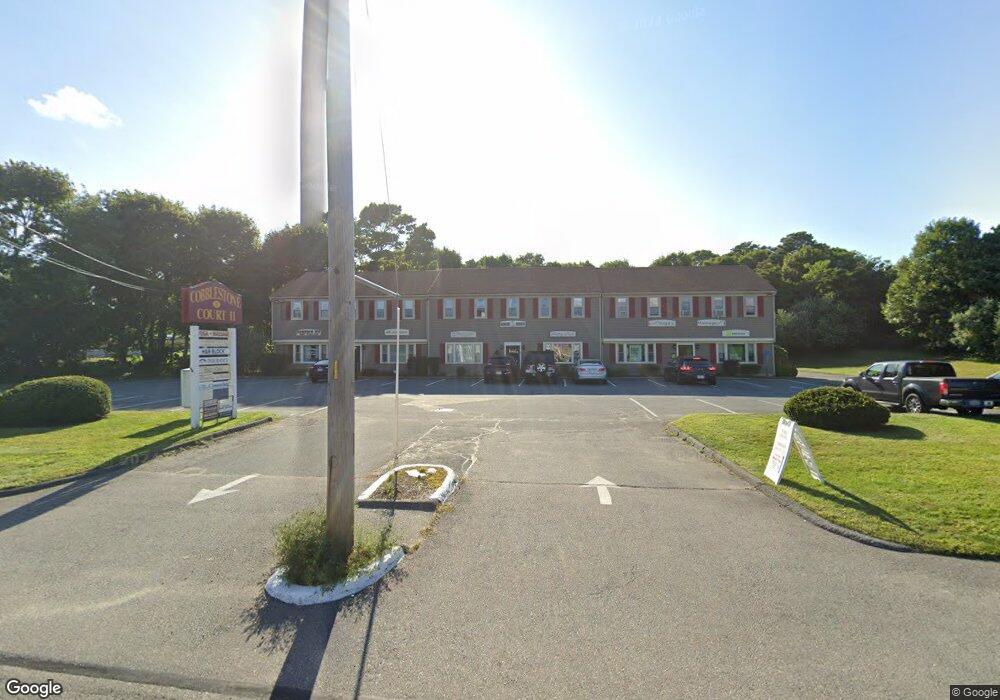
21 Route 134 Unit 25 South Dennis, MA 02660
West Dennis NeighborhoodEstimated Value: $181,749
1
Bed
1
Bath
520
Sq Ft
$350/Sq Ft
Est. Value
About This Home
This home is located at 21 Route 134 Unit 25, South Dennis, MA 02660 and is currently estimated at $181,749, approximately $349 per square foot. 21 Route 134 Unit 25 is a home located in Barnstable County with nearby schools including Dennis-Yarmouth Regional High School and St. Pius X. School.
Ownership History
Date
Name
Owned For
Owner Type
Purchase Details
Closed on
Jan 24, 2025
Sold by
Kathleen Snow Ret and Snow
Bought by
Lawlor Barbara J and Lawlor Brian J
Current Estimated Value
Home Financials for this Owner
Home Financials are based on the most recent Mortgage that was taken out on this home.
Original Mortgage
$140,000
Outstanding Balance
$139,142
Interest Rate
6.75%
Mortgage Type
Purchase Money Mortgage
Estimated Equity
$42,607
Purchase Details
Closed on
Dec 9, 1983
Bought by
Snow Kathleen and Marcelonis Daniel
Create a Home Valuation Report for This Property
The Home Valuation Report is an in-depth analysis detailing your home's value as well as a comparison with similar homes in the area
Home Values in the Area
Average Home Value in this Area
Purchase History
| Date | Buyer | Sale Price | Title Company |
|---|---|---|---|
| Lawlor Barbara J | $175,000 | None Available | |
| Snow Kathleen | -- | -- |
Source: Public Records
Mortgage History
| Date | Status | Borrower | Loan Amount |
|---|---|---|---|
| Open | Lawlor Barbara J | $140,000 |
Source: Public Records
Tax History Compared to Growth
Tax History
| Year | Tax Paid | Tax Assessment Tax Assessment Total Assessment is a certain percentage of the fair market value that is determined by local assessors to be the total taxable value of land and additions on the property. | Land | Improvement |
|---|---|---|---|---|
| 2025 | $233 | $53,900 | $0 | $53,900 |
| 2024 | $198 | $45,000 | $0 | $45,000 |
| 2023 | $200 | $42,800 | $0 | $42,800 |
| 2022 | $231 | $41,200 | $0 | $41,200 |
| 2021 | $248 | $41,200 | $0 | $41,200 |
| 2020 | $276 | $45,300 | $0 | $45,300 |
| 2019 | $280 | $45,400 | $0 | $45,400 |
| 2018 | $334 | $52,700 | $0 | $52,700 |
| 2017 | $253 | $41,100 | $0 | $41,100 |
| 2016 | $251 | $38,500 | $0 | $38,500 |
| 2015 | $177 | $27,700 | $0 | $27,700 |
| 2014 | $176 | $27,700 | $0 | $27,700 |
Source: Public Records
Map
Nearby Homes
- 12 Spoonbill Rd
- 95 Center St
- 71 Main St
- 26 Center St
- 15 Woodside Park Rd
- 4 Coffey Ln
- 125 Main St Unit 3
- 3 Pinefield Ln
- 19 Standish Way
- 80 Michaels Ave
- 268 Main St
- 72 Bassett Ln
- 20 Aunt Debbys Rd
- 22 Wixon Rd
- 61 Trotters Ln
- 31 Easy St
- 78 Upper County Rd Unit A&B
- 78 Upper County Rd
- 24 Indian Trail
- 467 Main St
- 21 Route 134 Unit 9
- 21 Route 134 Unit 4
- 21 Route 134 Unit 6
- 21 Route 134 Unit 1
- 21 Route 134 Unit 7
- 21 Route 134 Unit 10
- 21 Route 134 Unit 11
- 21 Route 134 Unit 3
- 21 Route 134 Unit 12
- 21 Route 134 Unit 5
- 21 Route 134 Unit 2
- 23 South St
- 23 Massachusetts 134 Unit 1
- 23 Massachusetts 134 Unit 12
- 23 Massachusetts 134 Unit 11
- 23 Massachusetts 134
- 23 Massachusetts 134 Unit 2
- 23 Massachusetts 134 Unit 10
- 23 Route 134 ( Unit #9 ) Route
- 12 Anns Path