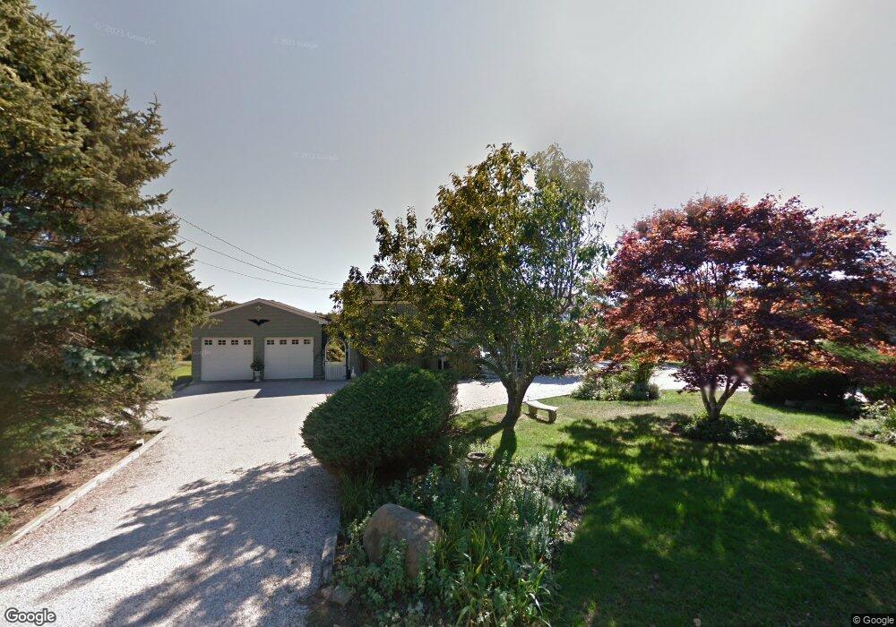
21 S Durham Rd Montauk, NY 11954
Estimated Value: $712,291 - $3,119,000
5
Beds
--
Bath
--
Sq Ft
0.68
Acres
About This Home
This home is located at 21 S Durham Rd, Montauk, NY 11954 and is currently estimated at $1,975,823. 21 S Durham Rd is a home located in Suffolk County with nearby schools including Montauk School.
Ownership History
Date
Name
Owned For
Owner Type
Purchase Details
Closed on
Jul 2, 2014
Sold by
Dunn Robert V and Dunn Catherine M
Bought by
Hodkinson Peter Henry and Woodruff Nancy Caroline
Current Estimated Value
Home Financials for this Owner
Home Financials are based on the most recent Mortgage that was taken out on this home.
Original Mortgage
$640,000
Outstanding Balance
$487,854
Interest Rate
4.18%
Mortgage Type
New Conventional
Estimated Equity
$1,487,969
Purchase Details
Closed on
Aug 23, 2000
Sold by
Renaud Patricia J
Bought by
Dunn Robert and Dunn Catherine M
Home Financials for this Owner
Home Financials are based on the most recent Mortgage that was taken out on this home.
Original Mortgage
$272,000
Interest Rate
8%
Create a Home Valuation Report for This Property
The Home Valuation Report is an in-depth analysis detailing your home's value as well as a comparison with similar homes in the area
Home Values in the Area
Average Home Value in this Area
Purchase History
| Date | Buyer | Sale Price | Title Company |
|---|---|---|---|
| Hodkinson Peter Henry | $890,000 | Fidelity National Title | |
| Dunn Robert | $340,000 | Fidelity National Title Ins |
Source: Public Records
Mortgage History
| Date | Status | Borrower | Loan Amount |
|---|---|---|---|
| Open | Hodkinson Peter Henry | $640,000 | |
| Previous Owner | Dunn Robert | $272,000 |
Source: Public Records
Tax History Compared to Growth
Tax History
| Year | Tax Paid | Tax Assessment Tax Assessment Total Assessment is a certain percentage of the fair market value that is determined by local assessors to be the total taxable value of land and additions on the property. | Land | Improvement |
|---|---|---|---|---|
| 2024 | $12,800 | $11,125 | $900 | $10,225 |
| 2023 | $6,400 | $11,125 | $900 | $10,225 |
| 2022 | $7,138 | $10,925 | $900 | $10,025 |
| 2021 | $7,138 | $7,300 | $900 | $6,400 |
| 2020 | $7,102 | $7,300 | $900 | $6,400 |
| 2019 | $7,102 | $0 | $0 | $0 |
| 2018 | $7,138 | $7,300 | $900 | $6,400 |
| 2017 | $7,147 | $7,300 | $900 | $6,400 |
| 2016 | $7,100 | $7,300 | $900 | $6,400 |
| 2015 | -- | $7,300 | $900 | $6,400 |
| 2014 | -- | $7,300 | $900 | $6,400 |
Source: Public Records
Map
Nearby Homes
- 14 Clearview Dr
- 727 Old Montauk Hwy Unit 401
- 727 Montauk Hwy Unit 403
- 10 & 14 Fairview Rd
- 707 Old Montauk Hwy
- 707 Old Montauk Hwy Unit A-57
- 161 Monroe Dr
- 18 N Shore Rd
- 56 Edison Dr
- 90 S Erie St
- 55 S Euclid Ave Unit 1E
- 55 S Euclid Ave Unit 5C
- 68 S Elmwood Ave
- 118 S Emerson Ave Unit 19
- 19 S Edison St
- 131 S Emerson Ave Unit 235
- 23 Fort Pond Rd
- 21 S Edin St
- 212 S Essex St
- 236 Edgemere St Unit 421
- 25 S Durham Rd
- 15 S Durham Rd
- 11 S Durham Rd
- 18 S Durham Rd
- 24 S Durham Rd
- 14 S Durham Rd
- 7 S Durham Rd
- 26 S Durham Rd
- 10 S Durham Rd
- 27 Clearview Dr
- 1 S Durham Rd
- 4 S Durham Rd
- 20 S Davis Ave
- 79 S Delrey Rd
- 77 S Delrey Rd
- 23 Clearview Dr
- 22 S Devon Place
- 46 S Dewey Place
- 73 S Delrey Rd
- 23 S Davis Ave