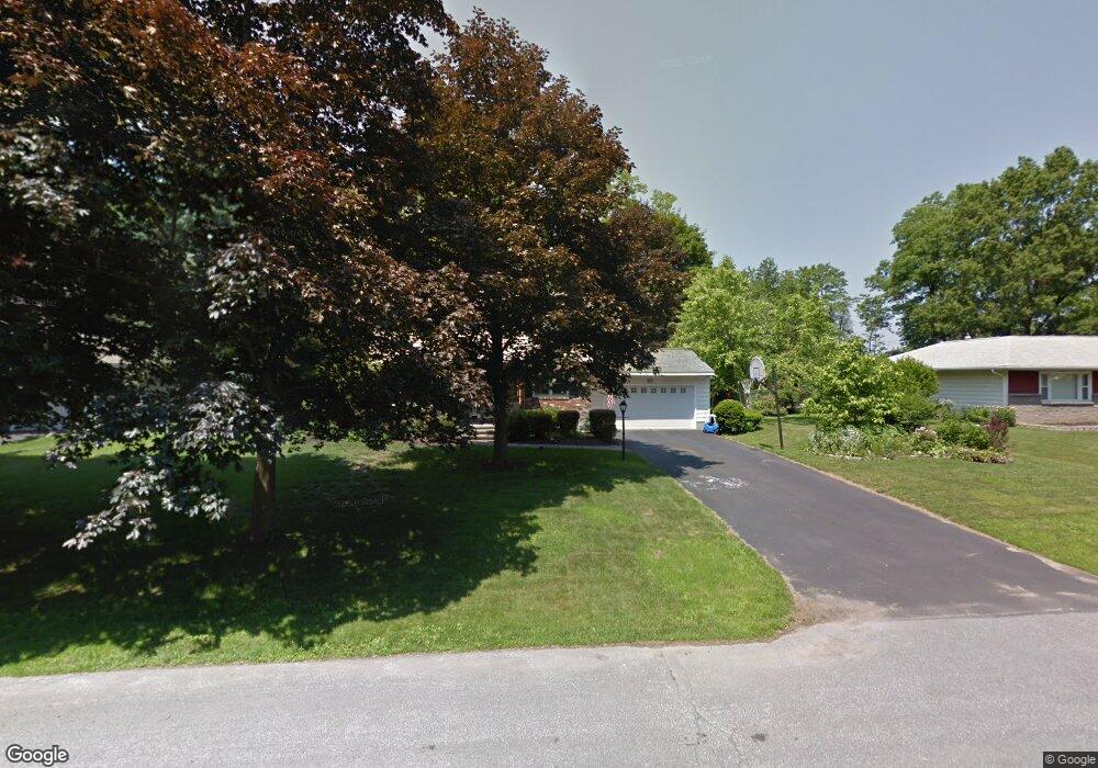
21 S Maple Ln Albany, NY 12211
Estimated Value: $470,000 - $579,000
4
Beds
2
Baths
2,090
Sq Ft
$254/Sq Ft
Est. Value
About This Home
This home is located at 21 S Maple Ln, Albany, NY 12211 and is currently estimated at $530,728, approximately $253 per square foot. 21 S Maple Ln is a home located in Albany County with nearby schools including Loudonville Elementary School, Shaker Junior High School, and Shaker High School.
Ownership History
Date
Name
Owned For
Owner Type
Purchase Details
Closed on
Apr 1, 2022
Sold by
Conklin Stephanie A
Bought by
Sc Rhodes Management Llc
Current Estimated Value
Purchase Details
Closed on
Dec 2, 2011
Sold by
Craig Richard J and Arciero Craig Patriica A
Bought by
Rhodes Brian M and Conklin Stephanie A
Home Financials for this Owner
Home Financials are based on the most recent Mortgage that was taken out on this home.
Original Mortgage
$233,600
Interest Rate
4%
Purchase Details
Closed on
Mar 14, 1997
Sold by
Brown Filomena
Bought by
Craig Richard J and Arciero-Craig Patricia A
Create a Home Valuation Report for This Property
The Home Valuation Report is an in-depth analysis detailing your home's value as well as a comparison with similar homes in the area
Home Values in the Area
Average Home Value in this Area
Purchase History
| Date | Buyer | Sale Price | Title Company |
|---|---|---|---|
| Sc Rhodes Management Llc | -- | None Listed On Document | |
| Rhodes Brian M | $292,000 | Stewart Title Insurance Co | |
| Craig Richard J | $155,000 | -- |
Source: Public Records
Mortgage History
| Date | Status | Borrower | Loan Amount |
|---|---|---|---|
| Previous Owner | Rhodes Brian M | $233,600 |
Source: Public Records
Tax History
| Year | Tax Paid | Tax Assessment Tax Assessment Total Assessment is a certain percentage of the fair market value that is determined by local assessors to be the total taxable value of land and additions on the property. | Land | Improvement |
|---|---|---|---|---|
| 2025 | $7,024 | $177,000 | $44,300 | $132,700 |
| 2024 | $7,024 | $177,000 | $44,300 | $132,700 |
| 2023 | $6,879 | $177,000 | $44,300 | $132,700 |
| 2022 | $6,783 | $177,000 | $44,300 | $132,700 |
| 2021 | $6,752 | $177,000 | $44,300 | $132,700 |
| 2020 | $6,040 | $177,000 | $44,300 | $132,700 |
| 2019 | $3,388 | $167,000 | $41,700 | $125,300 |
| 2018 | $5,676 | $167,000 | $41,700 | $125,300 |
| 2017 | $3,750 | $167,000 | $41,700 | $125,300 |
| 2016 | $5,501 | $167,000 | $41,700 | $125,300 |
| 2015 | -- | $167,000 | $41,700 | $125,300 |
| 2014 | -- | $167,000 | $41,700 | $125,300 |
Source: Public Records
Map
Nearby Homes
Your Personal Tour Guide
Ask me questions while you tour the home.