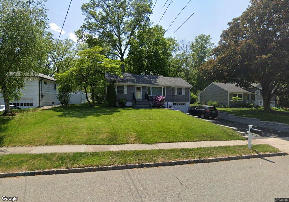
21 Salem Dr N Whippany, NJ 07981
Estimated Value: $648,000 - $703,000
--
Bed
--
Bath
1,200
Sq Ft
$557/Sq Ft
Est. Value
About This Home
This home is located at 21 Salem Dr N, Whippany, NJ 07981 and is currently estimated at $668,676, approximately $557 per square foot. 21 Salem Dr N is a home located in Morris County with nearby schools including Whippany Park High School, Arrow Academy, and Allegro School.
Ownership History
Date
Name
Owned For
Owner Type
Purchase Details
Closed on
Jul 28, 2009
Sold by
Carter Glenn and Carter Steven T
Bought by
Martin Steven J and Kuhl Patricia A
Current Estimated Value
Home Financials for this Owner
Home Financials are based on the most recent Mortgage that was taken out on this home.
Original Mortgage
$399,877
Outstanding Balance
$264,158
Interest Rate
5.47%
Mortgage Type
FHA
Estimated Equity
$404,518
Purchase Details
Closed on
Dec 9, 2008
Sold by
Embler Donald C
Bought by
Carter Glenn and Carter Steven T
Create a Home Valuation Report for This Property
The Home Valuation Report is an in-depth analysis detailing your home's value as well as a comparison with similar homes in the area
Home Values in the Area
Average Home Value in this Area
Purchase History
| Date | Buyer | Sale Price | Title Company |
|---|---|---|---|
| Martin Steven J | $418,000 | Chicago Title Insurance Co | |
| Carter Glenn | $274,000 | None Available |
Source: Public Records
Mortgage History
| Date | Status | Borrower | Loan Amount |
|---|---|---|---|
| Open | Martin Steven J | $399,877 |
Source: Public Records
Tax History Compared to Growth
Tax History
| Year | Tax Paid | Tax Assessment Tax Assessment Total Assessment is a certain percentage of the fair market value that is determined by local assessors to be the total taxable value of land and additions on the property. | Land | Improvement |
|---|---|---|---|---|
| 2025 | $7,905 | $375,000 | $216,300 | $158,700 |
| 2024 | $7,871 | $375,000 | $216,300 | $158,700 |
| 2023 | $7,871 | $375,000 | $216,300 | $158,700 |
| 2022 | $7,200 | $375,000 | $216,300 | $158,700 |
| 2021 | $7,095 | $375,000 | $216,300 | $158,700 |
| 2020 | $7,073 | $375,000 | $216,300 | $158,700 |
| 2019 | $7,095 | $375,000 | $216,300 | $158,700 |
| 2018 | $6,971 | $375,000 | $216,300 | $158,700 |
| 2017 | $6,765 | $375,000 | $216,300 | $158,700 |
| 2016 | $6,668 | $375,000 | $216,300 | $158,700 |
| 2015 | $6,401 | $375,000 | $216,300 | $158,700 |
| 2014 | $6,263 | $375,000 | $216,300 | $158,700 |
Source: Public Records
Map
Nearby Homes
- 17 Hilltop Cir
- 22 Karla Dr
- 201 Monroe Ct
- 141 Park Ave
- 29 Adams Dr
- 54 Chimney Ridge Dr
- 3306 Appleton Way
- 33 Colonial Dr
- 23 Colonial Dr
- 7 Heritage Ln
- 304 Beaverbrook Terrace Unit 304
- 104 Ridgedale Ave
- Monterey Plan at The Grove - The Monterey Collection
- Pershing Plan at The Grove - The Pershing Collection
- 26 Gladstone Ct
- 34 Gladstone Ct
- 14 Gladstone Ct
- 42 Gladstone Ct
- 15 Horsehill Rd
- 241 Vista Dr