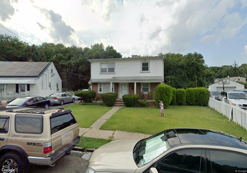
21 Salem Rd Paterson, NJ 07502
Totowa Section NeighborhoodEstimated Value: $556,000 - $601,964
--
Bed
--
Bath
1,540
Sq Ft
$377/Sq Ft
Est. Value
About This Home
This home is located at 21 Salem Rd, Paterson, NJ 07502 and is currently estimated at $580,491, approximately $376 per square foot. 21 Salem Rd is a home located in Passaic County with nearby schools including Edward W. Kilpatrick School of Discovery, Dale Avenue Elementary School, and Paterson Public School No. 5.
Ownership History
Date
Name
Owned For
Owner Type
Purchase Details
Closed on
Aug 31, 2011
Sold by
Llauri Sara
Bought by
Ortega Lucas
Current Estimated Value
Purchase Details
Closed on
Apr 26, 2007
Sold by
Ortega Lucas
Bought by
Ortega Lucas and Liarui Sara
Purchase Details
Closed on
Mar 11, 2004
Sold by
Ortega Jorge
Bought by
Ortega Lucas
Home Financials for this Owner
Home Financials are based on the most recent Mortgage that was taken out on this home.
Original Mortgage
$232,750
Interest Rate
5.71%
Purchase Details
Closed on
Oct 8, 1996
Sold by
Scarmazzo Emil and Scarmazzo Edith
Bought by
Ortega Jorge and Ortega Gustavo
Home Financials for this Owner
Home Financials are based on the most recent Mortgage that was taken out on this home.
Original Mortgage
$131,000
Interest Rate
7.83%
Create a Home Valuation Report for This Property
The Home Valuation Report is an in-depth analysis detailing your home's value as well as a comparison with similar homes in the area
Home Values in the Area
Average Home Value in this Area
Purchase History
| Date | Buyer | Sale Price | Title Company |
|---|---|---|---|
| Ortega Lucas | -- | -- | |
| Ortega Lucas | -- | -- | |
| Ortega Lucas | $245,000 | -- | |
| Ortega Jorge | $138,000 | -- |
Source: Public Records
Mortgage History
| Date | Status | Borrower | Loan Amount |
|---|---|---|---|
| Previous Owner | Ortega Lucas | $232,750 | |
| Previous Owner | Ortega Jorge | $131,000 |
Source: Public Records
Tax History Compared to Growth
Tax History
| Year | Tax Paid | Tax Assessment Tax Assessment Total Assessment is a certain percentage of the fair market value that is determined by local assessors to be the total taxable value of land and additions on the property. | Land | Improvement |
|---|---|---|---|---|
| 2025 | $14,383 | $282,300 | $72,700 | $209,600 |
| 2024 | $13,841 | $282,300 | $72,700 | $209,600 |
| 2022 | $13,104 | $282,300 | $72,700 | $209,600 |
| 2021 | $12,636 | $282,300 | $72,700 | $209,600 |
| 2020 | $11,786 | $282,300 | $72,700 | $209,600 |
| 2019 | $11,447 | $276,900 | $71,400 | $205,500 |
| 2018 | $11,832 | $273,500 | $70,700 | $202,800 |
| 2017 | $9,239 | $222,100 | $70,200 | $151,900 |
| 2016 | $9,732 | $224,300 | $77,700 | $146,600 |
| 2015 | $9,214 | $224,300 | $77,700 | $146,600 |
| 2014 | $9,654 | $332,900 | $150,000 | $182,900 |
Source: Public Records
Map
Nearby Homes
- 481 Preakness Ave
- 262-280 Chamberlain Ave Unit 4
- 512 Preakness Ave
- 237 Sherwood Ave Unit 239
- 15 Carrelton Dr
- 11 Carrelton Dr
- 88 Avenue B
- 295-297 Linwood Ave
- 16 Alden Terrace
- 704 Skyline Dr
- 410 Heights Dr
- 410 Heights Dr Unit 8
- 6 Doremus St
- 150 Redwood Ave
- 249 Edmund Ave
- 34 Avenue B
- 500 W Broadway
- 112 Sheridan Ave
- 120 Sherwood Ave Unit 102
- 34 James St