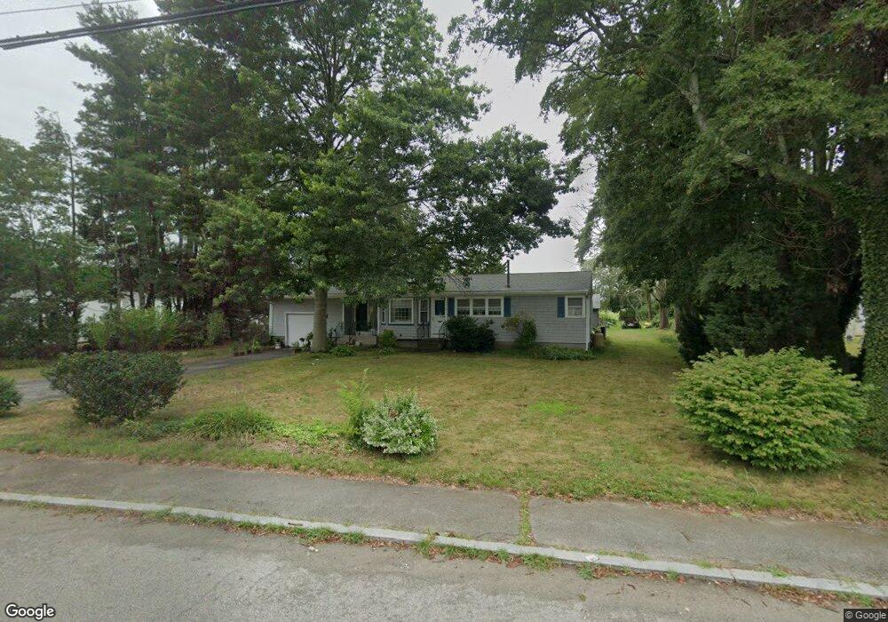
21 Sanford Rd Westport, MA 02790
North Westport NeighborhoodEstimated Value: $424,000 - $459,000
2
Beds
2
Baths
1,036
Sq Ft
$428/Sq Ft
Est. Value
About This Home
This home is located at 21 Sanford Rd, Westport, MA 02790 and is currently estimated at $443,633, approximately $428 per square foot. 21 Sanford Rd is a home located in Bristol County with nearby schools including Alice A. Macomber Primary School, Westport Elementary School, and Westport Middle-High School.
Ownership History
Date
Name
Owned For
Owner Type
Purchase Details
Closed on
Apr 4, 2011
Sold by
Borden Russell F and Borden Marilyn I
Bought by
Borden Irt
Current Estimated Value
Purchase Details
Closed on
Sep 26, 2006
Sold by
Borden David V D and Borden Edith S
Bought by
Borden Edith S
Purchase Details
Closed on
May 11, 1966
Bought by
Borden Russell F and Borden Marilyn I
Create a Home Valuation Report for This Property
The Home Valuation Report is an in-depth analysis detailing your home's value as well as a comparison with similar homes in the area
Home Values in the Area
Average Home Value in this Area
Purchase History
| Date | Buyer | Sale Price | Title Company |
|---|---|---|---|
| Borden Irt | -- | -- | |
| Borden Edith S | -- | -- | |
| Borden Russell F | -- | -- |
Source: Public Records
Mortgage History
| Date | Status | Borrower | Loan Amount |
|---|---|---|---|
| Previous Owner | Borden Russell F | $60,000 |
Source: Public Records
Tax History Compared to Growth
Tax History
| Year | Tax Paid | Tax Assessment Tax Assessment Total Assessment is a certain percentage of the fair market value that is determined by local assessors to be the total taxable value of land and additions on the property. | Land | Improvement |
|---|---|---|---|---|
| 2025 | $2,664 | $357,600 | $179,200 | $178,400 |
| 2024 | $2,587 | $334,700 | $158,800 | $175,900 |
| 2023 | $2,499 | $306,200 | $144,400 | $161,800 |
| 2022 | $2,340 | $275,900 | $144,400 | $131,500 |
| 2021 | $4,784 | $256,500 | $125,000 | $131,500 |
| 2020 | $4,740 | $251,500 | $120,000 | $131,500 |
| 2019 | $2,059 | $249,000 | $120,000 | $129,000 |
| 2018 | $3,785 | $251,200 | $117,500 | $133,700 |
| 2017 | $3,971 | $244,500 | $113,700 | $130,800 |
| 2016 | $1,807 | $228,500 | $110,000 | $118,500 |
| 2015 | $1,725 | $217,500 | $112,500 | $105,000 |
Source: Public Records
Map
Nearby Homes
- 128 Old Bedford Rd
- 33 William St
- 25 Beaulieu St
- 6 Beaulieu St
- 9 Register Ave
- 125 Angell St
- 34 Alsop St
- 219 Earle St Unit 3
- 217 Earle St Unit 2
- 37 Eaton St
- 215 Earle St Unit 1
- 85 Reney St
- 3 Diane Way
- 1792 Pleasant St Unit 1808
- 172 Earle St
- 89 Lafayette St
- 10 Choate St
- 383 Alden St
- 31 Choate St
- 92 Benoit St
- 25 Sanford Rd
- 16 Sanford Rd
- Lot 18-H Sanford Rd
- 20 Sanford Rd
- 101 Old Bedford Rd
- 14 Senechal St
- 10 Sanford Rd
- 8 Senechal St
- 13 Senechal St
- 41 Sanford Rd
- 22 Hebert Terrace
- 11 Senechal St
- 93 Old Bedford Rd
- 43 Sanford Rd
- 15 Alberto Dr
- 5 Senechal St
- 25 Hebert Terrace
- 16 Hebert Terrace
- 14 Alberto Dr
- 1 Adirondack Ln