21 Shady Ln Kingfield, ME 04947
Estimated Value: $263,000 - $343,000
Studio
--
Bath
1,404
Sq Ft
$216/Sq Ft
Est. Value
About This Home
This home is located at 21 Shady Ln, Kingfield, ME 04947 and is currently estimated at $302,794, approximately $215 per square foot. 21 Shady Ln is a home with nearby schools including Mt. Abram Regional High School.
Ownership History
Date
Name
Owned For
Owner Type
Purchase Details
Closed on
Jul 17, 2019
Sold by
Coates Jason E and Jordan Justin E
Bought by
Clukey Jared R
Current Estimated Value
Home Financials for this Owner
Home Financials are based on the most recent Mortgage that was taken out on this home.
Original Mortgage
$141,414
Outstanding Balance
$122,282
Interest Rate
3.82%
Mortgage Type
New Conventional
Estimated Equity
$180,512
Purchase Details
Closed on
Sep 7, 2011
Sold by
Clark Jason W
Bought by
Camden T T and Camden Bean
Create a Home Valuation Report for This Property
The Home Valuation Report is an in-depth analysis detailing your home's value as well as a comparison with similar homes in the area
Purchase History
| Date | Buyer | Sale Price | Title Company |
|---|---|---|---|
| Clukey Jared R | -- | -- | |
| Clukey Jared R | -- | -- | |
| Camden T T | -- | -- |
Source: Public Records
Mortgage History
| Date | Status | Borrower | Loan Amount |
|---|---|---|---|
| Open | Clukey Jared R | $141,414 | |
| Closed | Clukey Jared R | $141,414 |
Source: Public Records
Tax History
| Year | Tax Paid | Tax Assessment Tax Assessment Total Assessment is a certain percentage of the fair market value that is determined by local assessors to be the total taxable value of land and additions on the property. | Land | Improvement |
|---|---|---|---|---|
| 2025 | $3,888 | $189,637 | $26,586 | $163,051 |
| 2024 | $3,651 | $189,637 | $26,586 | $163,051 |
| 2023 | $3,489 | $193,853 | $26,586 | $167,267 |
| 2022 | $2,986 | $149,284 | $20,451 | $128,833 |
| 2021 | $2,938 | $150,664 | $20,451 | $130,213 |
| 2020 | $2,787 | $150,664 | $20,451 | $130,213 |
| 2019 | $2,816 | $152,234 | $20,451 | $131,783 |
| 2018 | $2,512 | $152,234 | $20,451 | $131,783 |
| 2017 | $2,611 | $153,615 | $20,451 | $133,164 |
| 2016 | $2,618 | $154,021 | $20,857 | $133,164 |
| 2015 | $3,087 | $176,412 | $20,451 | $155,961 |
| 2014 | $3,087 | $176,412 | $20,451 | $155,961 |
Source: Public Records
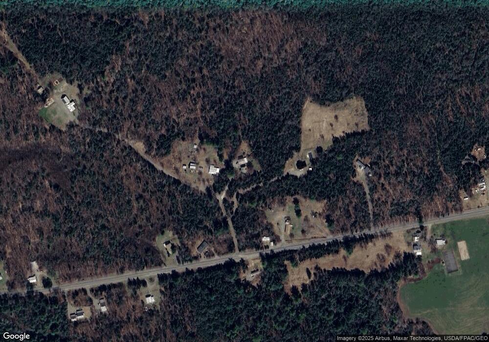
Map
Nearby Homes
- 26 Christen Rd
- 6 High Ground Rd
- 5 High Ground Rd
- 174 W Kingfield Rd
- 23 Olde Parkway Rd
- 7 W Branch St
- 377 Main St
- 12 Depot St
- 1 Tellis Rd
- 5-01-06 Sunset (Eagle Ridge) Ln
- 25-2 Sunset (Eagle Ridge) Ln
- 73 Middlegate Ln
- Lot 9 Final Dr
- Lot 2-1 Lower Vose Rd
- Lot #20 Hollis Drive (Eagle Ridge) Rd
- Lot 7 Hollis Dr
- 28 Adrian's Way
- 27 Prairie Rd
- 1124 Middle Rd
- 402 Baker Hill Rd
- 17 Shady Ln
- 57 Shady Ln
- 533 W Kingfield Rd
- 542 W Kingfield Rd
- 563 W Kingfield Rd
- 513 W Kingfield Rd
- 497 W Kingfield Rd
- 566 W Kingfield Rd
- 183 Shady Ln
- 502 W Kingfield Rd
- 589 W Kingfield Rd
- 491 W Kingfield Rd
- 485 W Kingfield Rd
- 597 W Kingfield Rd
- 39 Christen Rd
- 463 W Kingfield Rd
- 449 W Kingfield Rd
- 58 Christen Rd
- 30 Christen Rd
- 38 Christen Rd
Your Personal Tour Guide
Ask me questions while you tour the home.