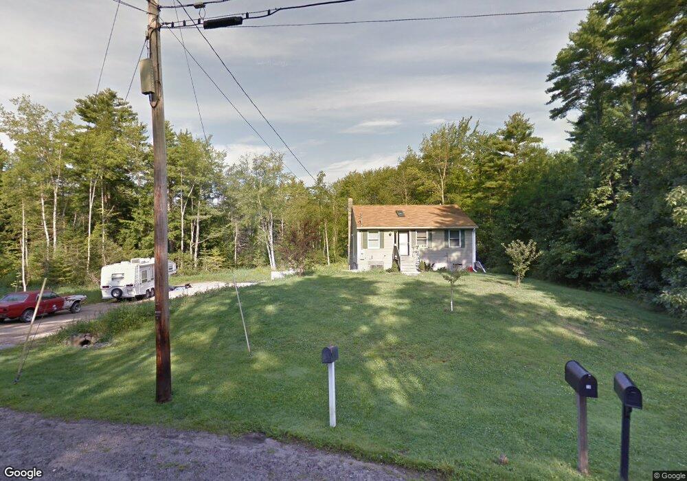
21 Spring Rd Saco, ME 04072
North Saco NeighborhoodEstimated Value: $527,000 - $590,000
3
Beds
2
Baths
1,732
Sq Ft
$319/Sq Ft
Est. Value
About This Home
This home is located at 21 Spring Rd, Saco, ME 04072 and is currently estimated at $553,276, approximately $319 per square foot. 21 Spring Rd is a home located in York County with nearby schools including C K Burns School and Saco Middle School.
Ownership History
Date
Name
Owned For
Owner Type
Purchase Details
Closed on
Mar 28, 2005
Sold by
Canney Justin L
Bought by
Gadboise Timothy
Current Estimated Value
Home Financials for this Owner
Home Financials are based on the most recent Mortgage that was taken out on this home.
Original Mortgage
$161,450
Interest Rate
8%
Mortgage Type
Adjustable Rate Mortgage/ARM
Create a Home Valuation Report for This Property
The Home Valuation Report is an in-depth analysis detailing your home's value as well as a comparison with similar homes in the area
Home Values in the Area
Average Home Value in this Area
Purchase History
| Date | Buyer | Sale Price | Title Company |
|---|---|---|---|
| Gadboise Timothy | -- | -- |
Source: Public Records
Mortgage History
| Date | Status | Borrower | Loan Amount |
|---|---|---|---|
| Closed | Gadboise Timothy | $161,450 |
Source: Public Records
Tax History
| Year | Tax Paid | Tax Assessment Tax Assessment Total Assessment is a certain percentage of the fair market value that is determined by local assessors to be the total taxable value of land and additions on the property. | Land | Improvement |
|---|---|---|---|---|
| 2024 | $5,480 | $390,000 | $116,800 | $273,200 |
| 2023 | $5,753 | $390,000 | $116,800 | $273,200 |
| 2022 | $5,202 | $283,800 | $89,300 | $194,500 |
| 2021 | $5,013 | $265,500 | $78,900 | $186,600 |
| 2020 | $4,762 | $242,100 | $69,200 | $172,900 |
| 2019 | $4,692 | $242,100 | $69,200 | $172,900 |
| 2018 | $4,566 | $235,600 | $62,700 | $172,900 |
| 2017 | $4,426 | $228,400 | $57,500 | $170,900 |
| 2016 | $4,212 | $216,900 | $43,100 | $173,800 |
| 2015 | $4,128 | $214,800 | $43,100 | $171,700 |
| 2014 | $4,000 | $214,800 | $43,100 | $171,700 |
| 2013 | $2,965 | $159,600 | $43,100 | $116,500 |
Source: Public Records
Map
Nearby Homes
- 4 Blueberry Ave
- 9 Jada Dr
- Lot 1 & 2 Memory Ln
- 4 June Ln
- 82 Watson Mill Rd
- 75 Ash Swamp Rd
- 5 Coltons Way
- 4 Primrose Ln
- 1 Vanessa Way
- 4 Spool St Unit 101
- 6 Amari Ct
- 994 Portland Rd Unit 14
- 994 Portland Rd Unit 4
- 15 Rotary Dr
- 90 Broadturn Rd Unit 9
- 159 Stewart Dr
- 155 Stewart Dr
- 153 Stewart Dr
- 91 C Broadturn Rd
- 149 Stewart Dr