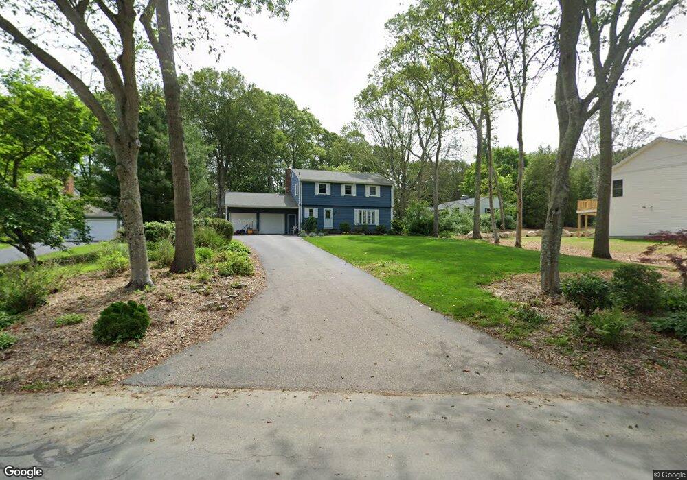
21 Spruce Ct Wakefield, RI 02879
Estimated Value: $690,000 - $916,000
4
Beds
3
Baths
2,272
Sq Ft
$350/Sq Ft
Est. Value
About This Home
This home is located at 21 Spruce Ct, Wakefield, RI 02879 and is currently estimated at $795,017, approximately $349 per square foot. 21 Spruce Ct is a home located in Washington County with nearby schools including South Kingstown High School, Monsignor Matthew Clarke Catholic Regional School, and Bradley School-South.
Ownership History
Date
Name
Owned For
Owner Type
Purchase Details
Closed on
Mar 30, 1998
Sold by
Konar Joseph P and Konar Lydia
Bought by
Burian Carol L
Current Estimated Value
Home Financials for this Owner
Home Financials are based on the most recent Mortgage that was taken out on this home.
Original Mortgage
$100,000
Interest Rate
6.96%
Create a Home Valuation Report for This Property
The Home Valuation Report is an in-depth analysis detailing your home's value as well as a comparison with similar homes in the area
Home Values in the Area
Average Home Value in this Area
Purchase History
| Date | Buyer | Sale Price | Title Company |
|---|---|---|---|
| Burian Carol L | $209,500 | -- |
Source: Public Records
Mortgage History
| Date | Status | Borrower | Loan Amount |
|---|---|---|---|
| Open | Burian Carol L | $87,400 | |
| Closed | Burian Carol L | $100,000 |
Source: Public Records
Tax History
| Year | Tax Paid | Tax Assessment Tax Assessment Total Assessment is a certain percentage of the fair market value that is determined by local assessors to be the total taxable value of land and additions on the property. | Land | Improvement |
|---|---|---|---|---|
| 2025 | $4,631 | $518,000 | $237,800 | $280,200 |
| 2024 | $4,612 | $417,400 | $176,200 | $241,200 |
| 2023 | $4,612 | $417,400 | $176,200 | $241,200 |
| 2022 | $4,571 | $417,400 | $176,200 | $241,200 |
| 2021 | $4,611 | $319,100 | $135,500 | $183,600 |
| 2020 | $4,611 | $319,100 | $135,500 | $183,600 |
| 2019 | $4,611 | $319,100 | $135,500 | $183,600 |
| 2018 | $4,640 | $295,900 | $129,600 | $166,300 |
| 2017 | $4,530 | $295,900 | $129,600 | $166,300 |
| 2016 | $4,465 | $295,900 | $129,600 | $166,300 |
| 2015 | $4,347 | $280,100 | $117,800 | $162,300 |
| 2014 | $4,336 | $280,100 | $117,800 | $162,300 |
Source: Public Records
Map
Nearby Homes
- 15 Jessica Ln
- 301 Church St Unit 103
- 131 Columbia St
- 48 Stone Bridge Dr
- 20 Cleveland St
- 37 Columbia St
- 143 Summit Ave
- 45 Cherry Ln Unit C
- 39 Hazard Ave
- 57 Rocky Brook Way
- 23 Rockland Dr
- 35 Abbey Rd
- 1808 Kingstown Rd
- 44 Vespia Ln
- 66 Christopher St
- 56 Vespia Ln
- 260 Sweet Allen Farm Rd Unit 3
- 13 Prospect Ave
- 0 Indian Trail Trail S Unit 1389828
- 39 Secluded Dr
Your Personal Tour Guide
Ask me questions while you tour the home.