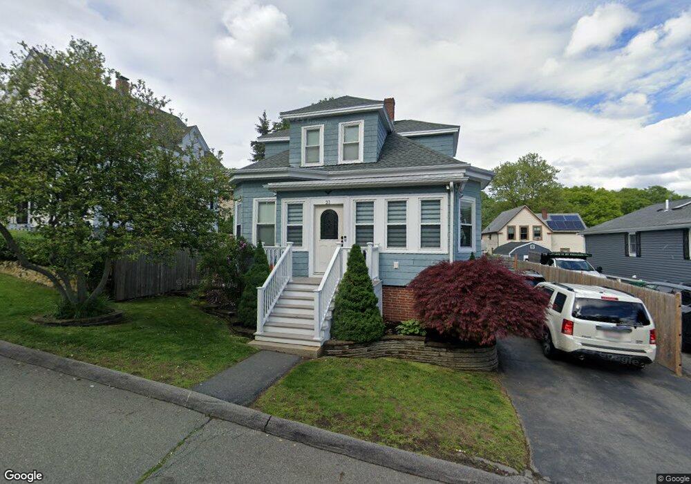
21 Spruce St Lynn, MA 01905
Upper Walnut Street NeighborhoodEstimated Value: $544,153 - $590,000
3
Beds
2
Baths
1,350
Sq Ft
$422/Sq Ft
Est. Value
About This Home
This home is located at 21 Spruce St, Lynn, MA 01905 and is currently estimated at $569,538, approximately $421 per square foot. 21 Spruce St is a home located in Essex County with nearby schools including Julia F. Callahan Elementary School, William R. Fallon School, and Breed Middle School.
Ownership History
Date
Name
Owned For
Owner Type
Purchase Details
Closed on
Feb 13, 2019
Sold by
Smalley Deborah A
Bought by
Smalley Ft and Smalley
Current Estimated Value
Purchase Details
Closed on
May 28, 1999
Sold by
Heywood Thomas J and Heywood Ellen M
Bought by
Smalley Michael J and Smalley Deborah A
Purchase Details
Closed on
Aug 1, 1991
Sold by
Ilipououlos John
Bought by
Heywood Thomas J and Ellen Larochelle
Purchase Details
Closed on
Dec 14, 1990
Sold by
Mulheir Frances
Bought by
Iliopoulos John
Create a Home Valuation Report for This Property
The Home Valuation Report is an in-depth analysis detailing your home's value as well as a comparison with similar homes in the area
Home Values in the Area
Average Home Value in this Area
Purchase History
| Date | Buyer | Sale Price | Title Company |
|---|---|---|---|
| Smalley Ft | -- | -- | |
| Smalley Ft | -- | -- | |
| Smalley Ft | -- | -- | |
| Smalley Michael J | $159,900 | -- | |
| Smalley Michael J | $159,900 | -- | |
| Heywood Thomas J | $125,000 | -- | |
| Heywood Thomas J | $125,000 | -- | |
| Iliopoulos John | $60,000 | -- | |
| Iliopoulos John | $60,000 | -- |
Source: Public Records
Mortgage History
| Date | Status | Borrower | Loan Amount |
|---|---|---|---|
| Previous Owner | Iliopoulos John | $30,000 | |
| Previous Owner | Iliopoulos John | $224,000 |
Source: Public Records
Tax History
| Year | Tax Paid | Tax Assessment Tax Assessment Total Assessment is a certain percentage of the fair market value that is determined by local assessors to be the total taxable value of land and additions on the property. | Land | Improvement |
|---|---|---|---|---|
| 2025 | $5,115 | $493,700 | $195,800 | $297,900 |
| 2024 | $4,975 | $472,500 | $194,500 | $278,000 |
| 2023 | $4,782 | $428,900 | $179,500 | $249,400 |
| 2022 | $4,900 | $394,200 | $161,600 | $232,600 |
| 2021 | $4,527 | $347,400 | $150,500 | $196,900 |
| 2020 | $4,303 | $321,100 | $133,800 | $187,300 |
| 2019 | $4,467 | $312,400 | $137,600 | $174,800 |
| 2018 | $3,972 | $262,200 | $128,700 | $133,500 |
| 2017 | $3,727 | $238,900 | $111,600 | $127,300 |
| 2016 | $3,645 | $225,300 | $105,600 | $119,700 |
| 2015 | $3,719 | $222,000 | $104,300 | $117,700 |
Source: Public Records
Map
Nearby Homes
- 32 Birch Brook Rd Unit 13
- 32 Birch Brook Rd Unit 27
- 32 Birch Brook Rd Unit 16
- 32 Birch Brook Rd Unit 1
- 32 Birch Brook Rd Unit 15
- 32 Birch Brook Rd Unit 14
- 32 Birch Brook Rd Unit 28
- 32 Birch Brook Landing Unit 23
- 32 Birch Brook Landing Unit 25
- 32 Birch Brook Landing Unit 22
- 268 Walnut St
- 46 Wilfred St
- 28 Wyman St
- 50-50A Kirtland St
- 73 Waterhill St
- 21 Fenton Ave
- 1 Hillcrest Ave
- 79 Laurel St
- 20 Murray St
- 99 New Park St
Your Personal Tour Guide
Ask me questions while you tour the home.