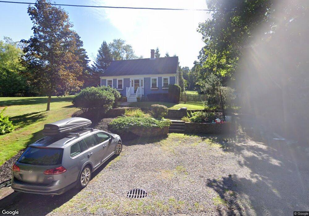
21 Squirrel Hill Ln Hingham, MA 02043
Estimated Value: $831,522 - $1,280,000
3
Beds
1
Bath
1,607
Sq Ft
$670/Sq Ft
Est. Value
About This Home
This home is located at 21 Squirrel Hill Ln, Hingham, MA 02043 and is currently estimated at $1,076,881, approximately $670 per square foot. 21 Squirrel Hill Ln is a home located in Plymouth County with nearby schools including Plymouth River Elementary School, SELA: The International Private School, and St. Paul Elementary School.
Ownership History
Date
Name
Owned For
Owner Type
Purchase Details
Closed on
Apr 30, 1999
Sold by
Stleger Alan and Stleger Claire
Bought by
Waal Erik M and Shepard Donn Am
Current Estimated Value
Purchase Details
Closed on
Oct 29, 1992
Sold by
Hanson Arthur J and Hanson Peter B
Bought by
Saint Leger Alan and Saint Leger Claire
Create a Home Valuation Report for This Property
The Home Valuation Report is an in-depth analysis detailing your home's value as well as a comparison with similar homes in the area
Home Values in the Area
Average Home Value in this Area
Purchase History
| Date | Buyer | Sale Price | Title Company |
|---|---|---|---|
| Waal Erik M | $260,000 | -- | |
| Saint Leger Alan | $131,000 | -- |
Source: Public Records
Mortgage History
| Date | Status | Borrower | Loan Amount |
|---|---|---|---|
| Open | Saint Leger Alan | $283,000 | |
| Closed | Saint Leger Alan | $25,000 | |
| Closed | Saint Leger Alan | $305,000 |
Source: Public Records
Tax History Compared to Growth
Tax History
| Year | Tax Paid | Tax Assessment Tax Assessment Total Assessment is a certain percentage of the fair market value that is determined by local assessors to be the total taxable value of land and additions on the property. | Land | Improvement |
|---|---|---|---|---|
| 2025 | $7,693 | $719,600 | $431,800 | $287,800 |
| 2024 | $7,460 | $687,600 | $431,800 | $255,800 |
| 2023 | $6,529 | $652,900 | $431,800 | $221,100 |
| 2022 | $6,257 | $541,300 | $359,800 | $181,500 |
| 2021 | $4,552 | $520,900 | $359,800 | $161,100 |
| 2020 | $6,006 | $520,900 | $359,800 | $161,100 |
| 2019 | $5,983 | $506,600 | $359,800 | $146,800 |
| 2018 | $5,655 | $480,500 | $316,600 | $163,900 |
| 2017 | $5,454 | $445,200 | $288,400 | $156,800 |
| 2016 | $5,389 | $431,500 | $274,700 | $156,800 |
| 2015 | $5,243 | $418,400 | $261,600 | $156,800 |
Source: Public Records
Map
Nearby Homes
- 504 Tuckers Ln
- 15 Bayberry Rd
- 5 Beals Cove Rd Unit E
- 16 Beal's Cove Rd Unit E
- 10 Beals Cove Rd Unit C
- 191 South St
- 246 North St
- 125 Halsted Dr Unit 125
- 21 Hersey St
- 10 Shipyard Dr Unit 313
- 34 Otis Hill Rd
- 15 Lewis Ct
- 73 Broad Reach Unit M36C
- 73 Broad Reach Unit M21C
- 130 Broad Reach Unit 506
- 130 Broad Reach Unit 206
- 130 Broad Reach Unit 504
- 171 Fort Hill St
- 7 Lewis Ct
- 51 Broad Reach Unit T23A
- 17 Squirrel Hill Ln
- 25 Squirrel Hill Ln
- 9 Squirrel Hill Ln
- 9 Squirrel Hill Ln Unit 9
- 40 Rhodes Cir
- 36 Rhodes Cir
- 36 Rhodes Cir Unit 2
- 36 Rhodes Cir Unit 1
- 38 Rhodes Cir Unit 1
- 32 Rhodes Cir
- 32 Rhodes Cir Unit 32
- 7 Squirrel Hill Ln
- 24 Weathervane Ct
- 44 Rhodes Cir
- 44 Rhodes Cir
- 44 Rhodes Cir Unit 44
- 46 Rhodes Cir
- 46 Rhodes Cir Unit 1
- 46 Rhodes Cir
- 46 Rhodes Cir Unit 46