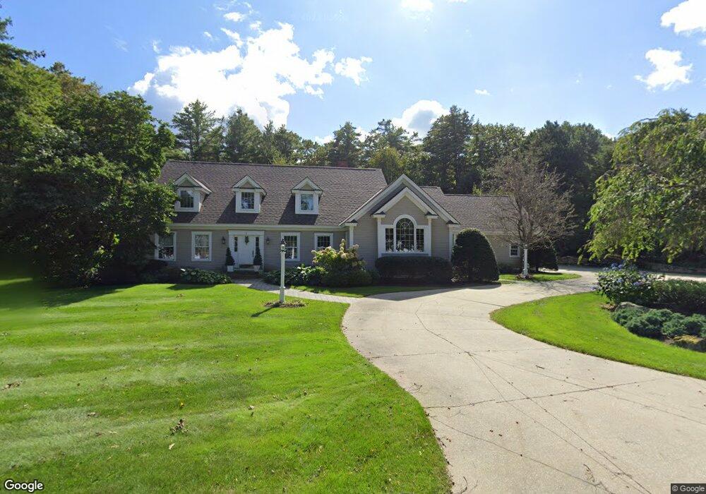
21 Starboard Ln Cumberland Foreside, ME 04110
Cumberland Foreside NeighborhoodEstimated Value: $1,786,000 - $2,492,000
3
Beds
4
Baths
5,362
Sq Ft
$376/Sq Ft
Est. Value
About This Home
This home is located at 21 Starboard Ln, Cumberland Foreside, ME 04110 and is currently estimated at $2,015,911, approximately $375 per square foot. 21 Starboard Ln is a home with nearby schools including Mabel I. Wilson School, Greely Middle School 4-5, and Greely Middle School.
Ownership History
Date
Name
Owned For
Owner Type
Purchase Details
Closed on
Apr 9, 2013
Sold by
Woods Chris A
Bought by
21 Starboard Lane Llc
Current Estimated Value
Purchase Details
Closed on
Oct 21, 2005
Sold by
Craig Robert S
Bought by
Mcmanus Edward T and Mcmanus Barabra A
Create a Home Valuation Report for This Property
The Home Valuation Report is an in-depth analysis detailing your home's value as well as a comparison with similar homes in the area
Home Values in the Area
Average Home Value in this Area
Purchase History
| Date | Buyer | Sale Price | Title Company |
|---|---|---|---|
| 21 Starboard Lane Llc | -- | -- | |
| Woods Chris A | -- | -- | |
| Mcmanus Edward T | -- | -- |
Source: Public Records
Tax History Compared to Growth
Tax History
| Year | Tax Paid | Tax Assessment Tax Assessment Total Assessment is a certain percentage of the fair market value that is determined by local assessors to be the total taxable value of land and additions on the property. | Land | Improvement |
|---|---|---|---|---|
| 2025 | $23,040 | $915,000 | $328,000 | $587,000 |
| 2024 | $21,106 | $907,800 | $328,000 | $579,800 |
| 2023 | $20,108 | $907,800 | $328,000 | $579,800 |
| 2022 | $19,245 | $907,800 | $328,000 | $579,800 |
| 2021 | $18,655 | $907,800 | $328,000 | $579,800 |
| 2020 | $18,474 | $907,800 | $328,000 | $579,800 |
| 2019 | $18,020 | $907,800 | $328,000 | $579,800 |
| 2018 | $17,206 | $873,400 | $328,000 | $545,400 |
| 2017 | $16,420 | $873,400 | $328,000 | $545,400 |
| 2016 | $15,940 | $873,400 | $328,000 | $545,400 |
| 2015 | $15,809 | $873,400 | $328,000 | $545,400 |
| 2014 | $15,197 | $873,400 | $328,000 | $545,400 |
| 2013 | $14,848 | $873,400 | $328,000 | $545,400 |
Source: Public Records
Map
Nearby Homes
- 15 Sea Cove Rd
- 59 Underwood Rd
- 30 Seaside Way Unit Lot 3
- 263 Foreside Rd
- 186 Foreside Rd
- 78 Applegate Ln
- 258 Foreside Rd
- 5 Harmony Way
- 267 U S Route 1 Unit 308
- 267 U S Route 1 Unit 404
- 267 U S Route 1 Unit 306
- 267 U S Route 1 Unit 211
- 267 U S Route 1 Unit 309 & 311
- 267 U S Route 1 Unit 201
- 267 U S Route 1 Unit 305
- 54 Longwoods Rd
- 24 York Ledge Dr
- R03-54-4 Longwoods Rd
- 109 Foreside Rd
- 184 Spruce Point Rd
- 17 Starboard Ln
- 25 Starboard Ln
- 13 Longmeadow Rd
- 15 Longmeadow Rd
- 11 Longmeadow Rd
- 11 Starboard Ln
- 19 Longmeadow Rd
- 9 Longmeadow Rd
- 59 Sanderson Rd
- 12 Ole Musket Rd
- 16 Longmeadow Rd
- 14 Ole Musket Rd
- 12 Longmeadow Rd
- 18 Longmeadow Rd
- 10 Ole Musket Rd Unit 6
- 10 Ole Musket Rd Unit 5
- 10 Ole Musket Rd Unit 4
- 10 Ole Musket Rd Unit 3
- 10 Ole Musket Rd Unit 2
- 10 Ole Musket Rd Unit 1