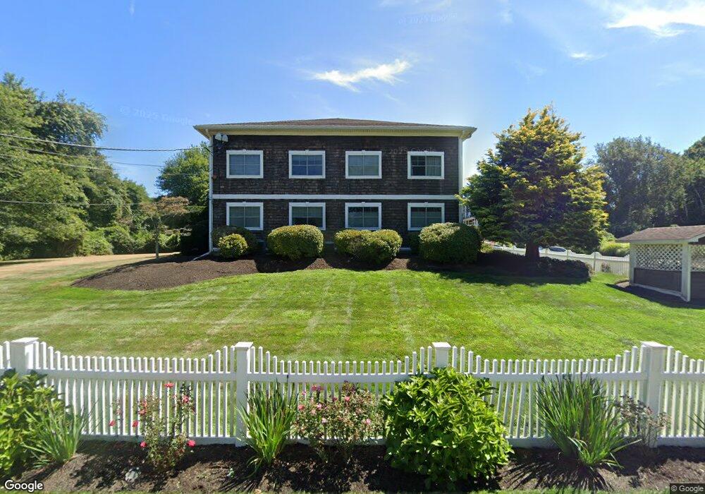
21 Starr Dr Unit 201 Narragansett, RI 02882
Estimated Value: $555,000 - $641,000
2
Beds
1
Bath
819
Sq Ft
$731/Sq Ft
Est. Value
About This Home
This home is located at 21 Starr Dr Unit 201, Narragansett, RI 02882 and is currently estimated at $598,344, approximately $730 per square foot. 21 Starr Dr Unit 201 is a home located in Washington County with nearby schools including Narragansett Elementary School, Narragansett Pier Middle School, and Narragansett High School.
Ownership History
Date
Name
Owned For
Owner Type
Purchase Details
Closed on
Apr 30, 2007
Sold by
Daly Jean G
Bought by
Onanian Laurie A
Current Estimated Value
Home Financials for this Owner
Home Financials are based on the most recent Mortgage that was taken out on this home.
Original Mortgage
$273,600
Interest Rate
6.18%
Mortgage Type
Purchase Money Mortgage
Create a Home Valuation Report for This Property
The Home Valuation Report is an in-depth analysis detailing your home's value as well as a comparison with similar homes in the area
Home Values in the Area
Average Home Value in this Area
Purchase History
| Date | Buyer | Sale Price | Title Company |
|---|---|---|---|
| Onanian Laurie A | $342,000 | -- |
Source: Public Records
Mortgage History
| Date | Status | Borrower | Loan Amount |
|---|---|---|---|
| Open | Onanian Laurie A | $224,000 | |
| Closed | Onanian Laurie A | $250,000 | |
| Closed | Onanian Laurie A | $259,750 | |
| Closed | Onanian Laurie A | $273,600 |
Source: Public Records
Tax History Compared to Growth
Tax History
| Year | Tax Paid | Tax Assessment Tax Assessment Total Assessment is a certain percentage of the fair market value that is determined by local assessors to be the total taxable value of land and additions on the property. | Land | Improvement |
|---|---|---|---|---|
| 2025 | $2,855 | $420,500 | $0 | $420,500 |
| 2024 | $2,754 | $420,500 | $0 | $420,500 |
| 2023 | $2,693 | $289,300 | $0 | $289,300 |
| 2022 | $2,604 | $289,300 | $0 | $289,300 |
| 2021 | $2,563 | $289,300 | $0 | $289,300 |
| 2020 | $2,783 | $265,600 | $0 | $265,600 |
| 2019 | $2,717 | $265,600 | $0 | $265,600 |
| 2018 | $2,643 | $265,600 | $0 | $265,600 |
| 2017 | $2,869 | $271,700 | $0 | $271,700 |
| 2016 | $2,739 | $271,700 | $0 | $271,700 |
| 2015 | $2,701 | $271,700 | $0 | $271,700 |
| 2014 | $2,569 | $255,900 | $0 | $255,900 |
Source: Public Records
Map
Nearby Homes
- 19 Castle Rd
- 275 Boston Neck Rd
- 20 Narragansett Ave Unit 905
- 56 Wanda St
- 14 Robinson St
- 137A Kingstown Rd
- 137 Kingstown Rd
- 16 Courtway St
- 20 5th Ave
- 73 Camden Ct
- 150 Camden Ct
- 126 Boon St
- 31 Avice St
- 30 Sweet Meadows Ct Unit 26
- 49 Westmoreland St
- 135 Cliff Dr
- 27 Westmoreland St
- 229 Saugatucket Rd
- 70 Broad Rock Rd
- 727 Boston Neck Rd
- 21 Starr Dr Unit 204
- 21 Starr Dr Unit 101
- 21 Starr Dr Unit 104
- 21 Starr Dr Unit 102
- 21 Starr Dr Unit 106
- 21 Starr Dr Unit 107
- 21 Starr Dr Unit 105
- 21 Starr Dr Unit 206
- 21 Starr Dr Unit 205
- 21 Starr Dr Unit 208
- 21 Starr Dr Unit 203
- 21 Starr Dr Unit 202
- 21 Starr Dr Unit 108
- 21 Starr Dr Unit 103
- 21 Starr Dr
- 0 Marble Rd Unit 1247306
- 22 Starr Dr
- 33 Starr Dr
- 33 Starr Dr Unit 6
- 33 Starr Dr W Unit 8