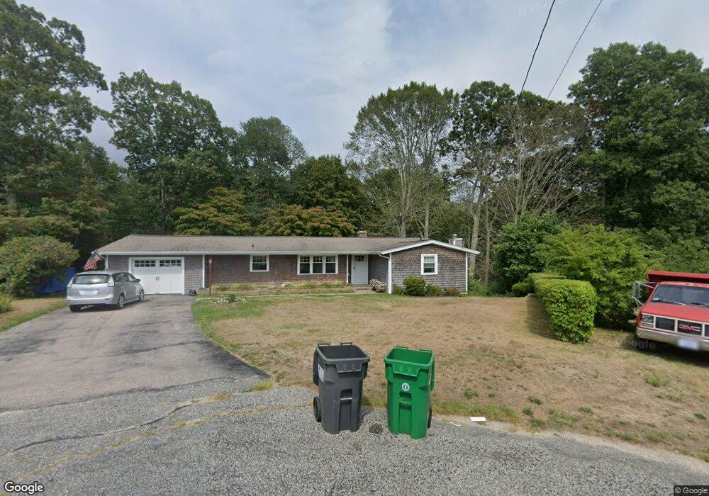
21 Steven Cir Wakefield, RI 02879
Estimated Value: $614,000 - $679,000
2
Beds
3
Baths
1,688
Sq Ft
$384/Sq Ft
Est. Value
About This Home
This home is located at 21 Steven Cir, Wakefield, RI 02879 and is currently estimated at $647,579, approximately $383 per square foot. 21 Steven Cir is a home located in Washington County with nearby schools including South Kingstown High School, Monsignor Matthew Clarke Catholic Regional School, and Bradley School-South.
Ownership History
Date
Name
Owned For
Owner Type
Purchase Details
Closed on
Nov 27, 1996
Sold by
Barton Olive E
Bought by
Clarke Richard F and Clarke Jeanne B
Current Estimated Value
Home Financials for this Owner
Home Financials are based on the most recent Mortgage that was taken out on this home.
Original Mortgage
$109,760
Interest Rate
7.82%
Create a Home Valuation Report for This Property
The Home Valuation Report is an in-depth analysis detailing your home's value as well as a comparison with similar homes in the area
Home Values in the Area
Average Home Value in this Area
Purchase History
| Date | Buyer | Sale Price | Title Company |
|---|---|---|---|
| Clarke Richard F | $137,000 | -- |
Source: Public Records
Mortgage History
| Date | Status | Borrower | Loan Amount |
|---|---|---|---|
| Open | Clarke Richard F | $142,075 | |
| Closed | Clarke Richard F | $155,000 | |
| Closed | Clarke Richard F | $106,000 | |
| Closed | Clarke Richard F | $109,760 |
Source: Public Records
Tax History Compared to Growth
Tax History
| Year | Tax Paid | Tax Assessment Tax Assessment Total Assessment is a certain percentage of the fair market value that is determined by local assessors to be the total taxable value of land and additions on the property. | Land | Improvement |
|---|---|---|---|---|
| 2025 | $4,349 | $486,500 | $175,900 | $310,600 |
| 2024 | $4,228 | $382,600 | $135,100 | $247,500 |
| 2023 | $4,228 | $382,600 | $135,100 | $247,500 |
| 2022 | $4,189 | $382,600 | $135,100 | $247,500 |
| 2021 | $4,248 | $294,000 | $117,400 | $176,600 |
| 2020 | $4,248 | $294,000 | $117,400 | $176,600 |
| 2019 | $4,248 | $294,000 | $117,400 | $176,600 |
| 2018 | $4,091 | $260,900 | $109,200 | $151,700 |
| 2017 | $3,994 | $260,900 | $109,200 | $151,700 |
| 2016 | $3,937 | $260,900 | $109,200 | $151,700 |
| 2015 | $3,838 | $247,300 | $106,900 | $140,400 |
| 2014 | $3,828 | $247,300 | $106,900 | $140,400 |
Source: Public Records
Map
Nearby Homes
- 40 Amos St
- 70 Broad Rock Rd
- 156 River St Unit B
- 10 Hendricks St
- 37 Columbia St
- 3 Larkin St
- 45 Cherry Ln Unit C
- 48 Stone Bridge Dr
- 39 Hazard Ave
- 128 North Rd
- 38 Eisenhower Place
- 128 Camden Ct
- 73 Camden Ct
- 98 Meadow Ave
- 228 Rodman St
- 128 Rodman St
- 17 Celestial Heights Dr
- 23 Rockland Dr
- 53 Rocky Brook Way
- 918 Saugatucket Rd