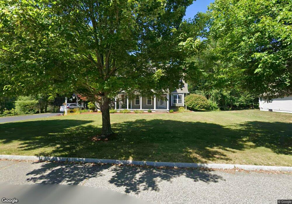
21 Stonefield Ct North Attleboro, MA 02760
Estimated Value: $1,002,000 - $1,220,000
4
Beds
3
Baths
4,322
Sq Ft
$251/Sq Ft
Est. Value
About This Home
This home is located at 21 Stonefield Ct, North Attleboro, MA 02760 and is currently estimated at $1,083,242, approximately $250 per square foot. 21 Stonefield Ct is a home located in Bristol County with nearby schools including North Attleboro High School, Cadence Academy Preschool - North Attleborough, and St John The Evangelist School.
Ownership History
Date
Name
Owned For
Owner Type
Purchase Details
Closed on
May 26, 2010
Sold by
Puccio Richard C and Puccio Caryn M
Bought by
Cincotti Michael H and Cincotti Kristen D
Current Estimated Value
Home Financials for this Owner
Home Financials are based on the most recent Mortgage that was taken out on this home.
Original Mortgage
$417,000
Interest Rate
5.13%
Mortgage Type
Purchase Money Mortgage
Purchase Details
Closed on
Jan 31, 2001
Sold by
Corporate Constr Ltd
Bought by
Puccio Richard C and Puccio Caryn M
Home Financials for this Owner
Home Financials are based on the most recent Mortgage that was taken out on this home.
Original Mortgage
$376,000
Interest Rate
7.14%
Mortgage Type
Purchase Money Mortgage
Create a Home Valuation Report for This Property
The Home Valuation Report is an in-depth analysis detailing your home's value as well as a comparison with similar homes in the area
Home Values in the Area
Average Home Value in this Area
Purchase History
| Date | Buyer | Sale Price | Title Company |
|---|---|---|---|
| Cincotti Michael H | $544,000 | -- | |
| Puccio Richard C | $470,000 | -- |
Source: Public Records
Mortgage History
| Date | Status | Borrower | Loan Amount |
|---|---|---|---|
| Open | Puccio Richard C | $411,000 | |
| Closed | Puccio Richard C | $415,000 | |
| Closed | Cincotti Michael H | $417,000 | |
| Previous Owner | Puccio Richard C | $420,000 | |
| Previous Owner | Puccio Richard C | $376,000 |
Source: Public Records
Tax History Compared to Growth
Tax History
| Year | Tax Paid | Tax Assessment Tax Assessment Total Assessment is a certain percentage of the fair market value that is determined by local assessors to be the total taxable value of land and additions on the property. | Land | Improvement |
|---|---|---|---|---|
| 2025 | $10,407 | $882,700 | $153,800 | $728,900 |
| 2024 | $10,494 | $909,400 | $153,800 | $755,600 |
| 2023 | $9,965 | $779,100 | $160,400 | $618,700 |
| 2022 | $9,162 | $657,700 | $153,800 | $503,900 |
| 2021 | $9,043 | $633,700 | $153,800 | $479,900 |
| 2020 | $8,896 | $619,900 | $153,800 | $466,100 |
| 2019 | $8,937 | $627,600 | $139,800 | $487,800 |
| 2018 | $7,985 | $598,600 | $139,800 | $458,800 |
| 2017 | $7,913 | $598,600 | $139,800 | $458,800 |
| 2016 | $7,432 | $562,200 | $162,100 | $400,100 |
| 2015 | $7,347 | $559,100 | $168,900 | $390,200 |
| 2014 | $7,338 | $554,200 | $170,400 | $383,800 |
Source: Public Records
Map
Nearby Homes
- 11 Buckthorn Ln
- 255 Mckeon Dr
- 115 Westfield Dr
- 21 Shady Ln
- 20 Sperry Ln
- 196 Donald Tennant Cir
- 747 N Main St
- 57 Vine St
- 150 Gilbert St
- 11 Landry Ave
- 678 N Main St
- 10 Hazelwood Ct
- 451R Gilbert St
- 158 Ivy St
- 59 Laurelwood Dr
- Lot 2 Jeffrey Dr
- 71 Richardson Ave
- Lot 5 Jeffrey Dr
- 136 Lindsey St
- 29 Lyman St