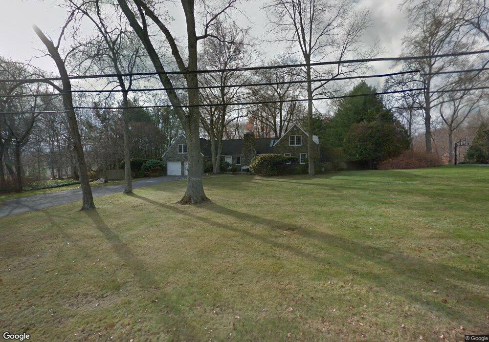
21 Sturges Commons Westport, CT 06880
Staples NeighborhoodEstimated Value: $2,070,702 - $6,119,000
3
Beds
4
Baths
3,158
Sq Ft
$1,272/Sq Ft
Est. Value
About This Home
This home is located at 21 Sturges Commons, Westport, CT 06880 and is currently estimated at $4,015,926, approximately $1,271 per square foot. 21 Sturges Commons is a home located in Fairfield County with nearby schools including Long Lots School, Bedford Middle School, and Staples High School.
Ownership History
Date
Name
Owned For
Owner Type
Purchase Details
Closed on
Oct 15, 2024
Sold by
Bernstein Sidney R and Bernstein Carol E
Bought by
Construction Matters
Current Estimated Value
Home Financials for this Owner
Home Financials are based on the most recent Mortgage that was taken out on this home.
Original Mortgage
$3,650,000
Outstanding Balance
$3,609,928
Interest Rate
6.12%
Mortgage Type
New Conventional
Estimated Equity
$405,998
Purchase Details
Closed on
Jul 1, 1983
Bought by
Bernstein Sidney R and Bernstein Carol E
Create a Home Valuation Report for This Property
The Home Valuation Report is an in-depth analysis detailing your home's value as well as a comparison with similar homes in the area
Home Values in the Area
Average Home Value in this Area
Purchase History
| Date | Buyer | Sale Price | Title Company |
|---|---|---|---|
| Construction Matters | $1,575,000 | None Available | |
| Construction Matters | $1,575,000 | None Available | |
| Construction Matters | $1,575,000 | None Available | |
| Bernstein Sidney R | $259,000 | -- |
Source: Public Records
Mortgage History
| Date | Status | Borrower | Loan Amount |
|---|---|---|---|
| Open | Construction Matters | $3,650,000 | |
| Closed | Construction Matters | $3,650,000 | |
| Previous Owner | Bernstein Sidney R | $121,000 | |
| Previous Owner | Bernstein Sidney R | $128,000 |
Source: Public Records
Tax History Compared to Growth
Tax History
| Year | Tax Paid | Tax Assessment Tax Assessment Total Assessment is a certain percentage of the fair market value that is determined by local assessors to be the total taxable value of land and additions on the property. | Land | Improvement |
|---|---|---|---|---|
| 2025 | $14,413 | $764,200 | $504,000 | $260,200 |
| 2024 | $14,229 | $764,200 | $504,000 | $260,200 |
| 2023 | $14,023 | $764,200 | $504,000 | $260,200 |
| 2022 | $13,809 | $764,200 | $504,000 | $260,200 |
| 2021 | $13,809 | $764,200 | $504,000 | $260,200 |
| 2020 | $13,532 | $809,800 | $532,000 | $277,800 |
| 2019 | $13,653 | $809,800 | $532,000 | $277,800 |
| 2018 | $3,751 | $809,800 | $532,000 | $277,800 |
| 2017 | $13,653 | $809,800 | $532,000 | $277,800 |
| 2016 | $13,653 | $809,800 | $532,000 | $277,800 |
| 2015 | $14,785 | $817,300 | $483,600 | $333,700 |
| 2014 | $14,662 | $817,300 | $483,600 | $333,700 |
Source: Public Records
Map
Nearby Homes
- 21 Sturges Commons
- 6 Bayberry Common
- 10 Debra Ln
- 1 Sturges Hwy Unit Lot 1
- 1 Sturges Hwy Unit 2
- 6 Fox Run Ln
- 5 Willow Walk
- 1001 Hulls Farm Rd
- 1084 Sturges Hwy
- 111 Sturges Hwy
- 1213 Cedar Rd
- 40 Maple Ave N
- 107 Old Rd
- 21 Queens Grant Dr
- 13 Terhune Dr
- 1 Coastal Ct
- 16 Burr School Rd
- 688 Hulls Farm Rd
- 14 Burr School Rd
- 125 Old Rd
- 19 Sturges Commons
- 23 Sturges Commons
- 19 Sturges Commons
- 23 Sturges Commons
- 20 Sturges Commons
- 22 Sturges Commons
- 22 Sturges Commons
- 28 Jennings Ct
- 17 Sturges Commons
- 17 Sturges Commons
- 25 Sturges Commons
- 24 Sturges Commons
- 18 Sturges Commons
- 18 Sturges Commons
- 54 Bayberry Ln
- 24 Sturges Commons
- 24 Jennings Ct
- 25 Sturges Commons
- 14 Sycamore Dr
- 12 Sycamore Dr