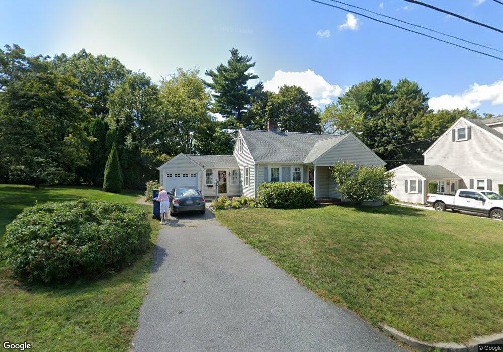
21 Sycamore Rd Braintree, MA 02184
South Braintree NeighborhoodEstimated Value: $664,056 - $728,000
4
Beds
1
Bath
1,190
Sq Ft
$588/Sq Ft
Est. Value
About This Home
This home is located at 21 Sycamore Rd, Braintree, MA 02184 and is currently estimated at $699,764, approximately $588 per square foot. 21 Sycamore Rd is a home located in Norfolk County with nearby schools including Braintree High School, First Baptist Christian School, and Thayer Academy.
Ownership History
Date
Name
Owned For
Owner Type
Purchase Details
Closed on
Aug 29, 2011
Sold by
Stjean Robert E and Stjean Mary C
Bought by
Stjean Ft
Current Estimated Value
Purchase Details
Closed on
Jun 8, 1984
Bought by
Stjean Ft
Create a Home Valuation Report for This Property
The Home Valuation Report is an in-depth analysis detailing your home's value as well as a comparison with similar homes in the area
Home Values in the Area
Average Home Value in this Area
Purchase History
| Date | Buyer | Sale Price | Title Company |
|---|---|---|---|
| Stjean Ft | -- | -- | |
| Stjean Ft | -- | -- |
Source: Public Records
Mortgage History
| Date | Status | Borrower | Loan Amount |
|---|---|---|---|
| Previous Owner | Stjean Ft | $74,000 | |
| Previous Owner | Stjean Ft | $52,000 | |
| Previous Owner | Stjean Ft | $17,000 |
Source: Public Records
Tax History
| Year | Tax Paid | Tax Assessment Tax Assessment Total Assessment is a certain percentage of the fair market value that is determined by local assessors to be the total taxable value of land and additions on the property. | Land | Improvement |
|---|---|---|---|---|
| 2025 | $6,289 | $630,200 | $365,100 | $265,100 |
| 2024 | $5,669 | $598,000 | $336,300 | $261,700 |
| 2023 | $5,412 | $554,500 | $307,500 | $247,000 |
| 2022 | $5,134 | $516,000 | $269,000 | $247,000 |
| 2021 | $4,658 | $468,100 | $243,100 | $225,000 |
| 2020 | $4,398 | $446,000 | $221,000 | $225,000 |
| 2019 | $4,332 | $429,300 | $221,000 | $208,300 |
| 2018 | $4,127 | $391,600 | $192,200 | $199,400 |
| 2017 | $4,008 | $373,200 | $182,600 | $190,600 |
| 2016 | $3,928 | $357,700 | $173,000 | $184,700 |
| 2015 | $3,836 | $346,500 | $169,100 | $177,400 |
| 2014 | $3,537 | $309,700 | $147,000 | $162,700 |
Source: Public Records
Map
Nearby Homes
- 972 Liberty St
- 432 Grove St
- 1 Geraldine Ln
- 23 Portland Rd
- 43 Grove Cir
- 15 Alida Rd
- 501 Commerce Dr Unit 2110
- 501 Commerce Dr Unit 4308
- 426 John Mahar Hwy Unit 311
- 426 John Mahar Hwy Unit 406
- 300 West St
- 55 Bradford Commons Ln Unit 55
- 422 John Mahar Hwy Unit 408
- 365 Tilden Commons Ln Unit 365
- 418 John Mahar Hwy Unit 408
- 169 Tyson Commons Ln
- 24 Evelyn Ln
- 129 Albee Dr
- 1579 Washington St
- 145 Hancock St Unit 307
- 19 Sycamore Rd
- 27 Sycamore Rd
- 22 Forest St
- 18 Forest St
- 28 Forest St
- 26 Sycamore Rd
- 1044 Liberty St
- 1034 Liberty St
- 20 Sycamore Rd
- 16 Sycamore Rd
- 36 Forest St
- 4 Thetford Ave
- 4 Thetford Ave
- 1024 Liberty St
- 1054 Liberty St
- 1054B Liberty St
- 1020 Liberty St
- 1020 Liberty St Unit 1020
- 14 Thetford Ave
- 44 Forest St
Your Personal Tour Guide
Ask me questions while you tour the home.