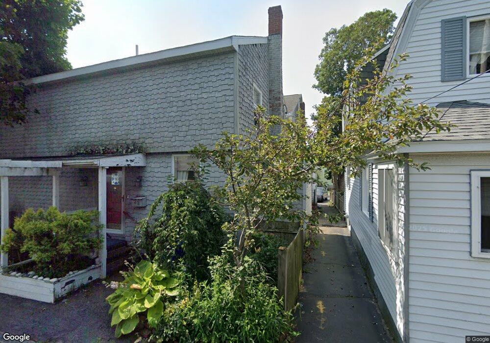
21 Thomas St Quincy, MA 02169
Houghs Neck NeighborhoodEstimated Value: $754,000 - $939,000
3
Beds
2
Baths
1,861
Sq Ft
$452/Sq Ft
Est. Value
About This Home
This home is located at 21 Thomas St, Quincy, MA 02169 and is currently estimated at $840,276, approximately $451 per square foot. 21 Thomas St is a home located in Norfolk County with nearby schools including Atherton Hough Elementary School, Broad Meadows Middle School, and Quincy High School.
Ownership History
Date
Name
Owned For
Owner Type
Purchase Details
Closed on
Aug 15, 2016
Sold by
Wilson E Paup
Bought by
Wilson Emmitte P and Wilson Rozeta G
Current Estimated Value
Purchase Details
Closed on
Mar 9, 2004
Sold by
Wilson E Paul and Wilson Teresa E
Bought by
Wilson E Paul
Home Financials for this Owner
Home Financials are based on the most recent Mortgage that was taken out on this home.
Original Mortgage
$333,700
Interest Rate
5.62%
Mortgage Type
Purchase Money Mortgage
Purchase Details
Closed on
Oct 1, 1992
Sold by
Mcmanus Robert W and Mcmanus Audrey E
Bought by
Wilson Emmitte P
Home Financials for this Owner
Home Financials are based on the most recent Mortgage that was taken out on this home.
Original Mortgage
$130,500
Interest Rate
7.83%
Mortgage Type
Purchase Money Mortgage
Create a Home Valuation Report for This Property
The Home Valuation Report is an in-depth analysis detailing your home's value as well as a comparison with similar homes in the area
Home Values in the Area
Average Home Value in this Area
Purchase History
| Date | Buyer | Sale Price | Title Company |
|---|---|---|---|
| Wilson Emmitte P | -- | -- | |
| Wilson E Paul | -- | -- | |
| Wilson Emmitte P | $145,000 | -- |
Source: Public Records
Mortgage History
| Date | Status | Borrower | Loan Amount |
|---|---|---|---|
| Previous Owner | Wilson E Paul | $333,700 | |
| Previous Owner | Wilson Emmitte P | $113,000 | |
| Previous Owner | Wilson Emmitte P | $10,000 | |
| Previous Owner | Wilson Emmitte P | $130,500 | |
| Previous Owner | Wilson Emmitte P | $60,000 |
Source: Public Records
Tax History Compared to Growth
Tax History
| Year | Tax Paid | Tax Assessment Tax Assessment Total Assessment is a certain percentage of the fair market value that is determined by local assessors to be the total taxable value of land and additions on the property. | Land | Improvement |
|---|---|---|---|---|
| 2025 | $8,669 | $751,900 | $381,000 | $370,900 |
| 2024 | $7,997 | $709,600 | $346,300 | $363,300 |
| 2023 | $7,261 | $652,400 | $314,800 | $337,600 |
| 2022 | $7,319 | $610,900 | $292,700 | $318,200 |
| 2021 | $7,500 | $617,800 | $311,500 | $306,300 |
| 2020 | $7,436 | $598,200 | $311,500 | $286,700 |
| 2019 | $7,008 | $558,400 | $288,500 | $269,900 |
| 2018 | $6,874 | $515,300 | $266,000 | $249,300 |
| 2017 | $7,072 | $499,100 | $273,600 | $225,500 |
| 2016 | $6,584 | $458,500 | $248,800 | $209,700 |
| 2015 | $6,164 | $422,200 | $230,400 | $191,800 |
| 2014 | $6,191 | $416,600 | $236,800 | $179,800 |
Source: Public Records
Map
Nearby Homes
- 21 Thomas St Unit 205-2
- 21 Thomas St Unit 205-1
- 27 Rogers Ln
- 27 Rogers Ln Unit 27
- 27 Rogers Ln Unit 1
- 19 Thomas St
- 15 Thomas St
- 26 Maxim Place
- 32 Maxim Place
- 18 Thomas St
- 13 Thomas St
- 22 Maxim Place
- 13 Rogers Ln
- 20 Thomas St
- 16 Thomas St
- 36 Bell St
- 49 Rogers Ln
- 49 Rogers Ln Unit 1
- 12 Thomas St
- 20 Maxim Place