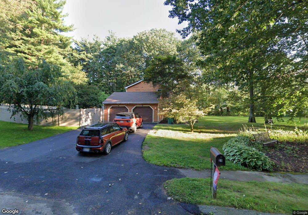
21 Timber Valley Dr Charlton, MA 01507
Estimated Value: $585,792 - $699,000
4
Beds
3
Baths
2,688
Sq Ft
$233/Sq Ft
Est. Value
About This Home
This home is located at 21 Timber Valley Dr, Charlton, MA 01507 and is currently estimated at $626,198, approximately $232 per square foot. 21 Timber Valley Dr is a home located in Worcester County with nearby schools including Shepherd Hill Regional High School.
Ownership History
Date
Name
Owned For
Owner Type
Purchase Details
Closed on
Jul 24, 2001
Sold by
Scavone Philip L and Scavone Eileen L
Bought by
Cardoso Jeffrey J
Current Estimated Value
Home Financials for this Owner
Home Financials are based on the most recent Mortgage that was taken out on this home.
Original Mortgage
$247,500
Outstanding Balance
$95,796
Interest Rate
7.2%
Mortgage Type
Purchase Money Mortgage
Estimated Equity
$530,402
Create a Home Valuation Report for This Property
The Home Valuation Report is an in-depth analysis detailing your home's value as well as a comparison with similar homes in the area
Home Values in the Area
Average Home Value in this Area
Purchase History
| Date | Buyer | Sale Price | Title Company |
|---|---|---|---|
| Cardoso Jeffrey J | $275,000 | -- | |
| Cardoso Jeffrey J | $275,000 | -- |
Source: Public Records
Mortgage History
| Date | Status | Borrower | Loan Amount |
|---|---|---|---|
| Open | Cardoso Jeffrey J | $247,500 | |
| Closed | Cardoso Jeffrey J | $247,500 | |
| Previous Owner | Cardoso Jeffrey J | $25,000 |
Source: Public Records
Tax History Compared to Growth
Tax History
| Year | Tax Paid | Tax Assessment Tax Assessment Total Assessment is a certain percentage of the fair market value that is determined by local assessors to be the total taxable value of land and additions on the property. | Land | Improvement |
|---|---|---|---|---|
| 2025 | $5,160 | $463,600 | $83,800 | $379,800 |
| 2024 | $5,042 | $444,600 | $83,800 | $360,800 |
| 2023 | $4,964 | $407,900 | $81,000 | $326,900 |
| 2022 | $4,939 | $371,600 | $75,500 | $296,100 |
| 2021 | $4,671 | $311,200 | $72,700 | $238,500 |
| 2020 | $4,607 | $308,400 | $69,900 | $238,500 |
| 2019 | $4,555 | $308,400 | $69,900 | $238,500 |
| 2018 | $4,163 | $308,400 | $69,900 | $238,500 |
| 2017 | $4,133 | $293,100 | $69,900 | $223,200 |
| 2016 | $4,014 | $291,300 | $69,900 | $221,400 |
| 2015 | $3,909 | $291,300 | $69,900 | $221,400 |
| 2014 | $3,797 | $299,900 | $71,900 | $228,000 |
Source: Public Records
Map
Nearby Homes
- 7 Little Muggett Rd
- 8 Northside Rd
- 199 Center Depot Rd
- 5 Northside Rd
- 102 Worcester Rd
- 25 N Main St Unit A
- 9 Knollwood Dr
- 38 Stevens Park Rd
- 105 Carroll Hill Rd
- 0 Trolley Crossing Rd
- 40 Carroll Hill Rd
- 7 L Stevens Rd Unit A
- 7 L Stevens Rd Unit B
- 208 Sunset Dr
- 7 Hycrest Rd
- 65 Old Spencer Rd
- 18 Old Worcester Rd
- 8 Hycrest Rd
- 5 Carpenter Hill Rd
- 13 Boucher Dr
- 23 J Hammond Rd
- 17 J Hammond Rd
- 19 Timber Valley Dr
- 13 J Hammond Rd
- 17 Timber Valley Dr
- 9 J Hammond Rd
- 13 Timber Valley Dr
- 16 Timber Valley Dr
- 3 Timber Heights
- 5 J Hammond Rd
- 11 Cook Cir
- 10 Timber Heights
- 14 Timber Valley Dr
- 5 Timber Valley Dr
- 9 Cook Cir
- 186 Stafford St
- 8 Timber Heights
- 162 Stafford St
- 6 Timber Heights
- 4 Timber Heights