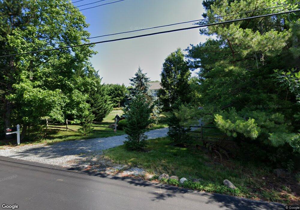
21 Tower Rd Cream Ridge, NJ 08514
Estimated Value: $703,584 - $830,000
4
Beds
3
Baths
2,320
Sq Ft
$328/Sq Ft
Est. Value
About This Home
This home is located at 21 Tower Rd, Cream Ridge, NJ 08514 and is currently estimated at $760,896, approximately $327 per square foot. 21 Tower Rd is a home located in Ocean County with nearby schools including Dr. Gerald H. Woehr Elementary School, New Egypt Middle School, and New Egypt High School.
Ownership History
Date
Name
Owned For
Owner Type
Purchase Details
Closed on
Sep 10, 2002
Sold by
Mvn Homes Inc
Bought by
Miller Matthew and Miller Lois
Current Estimated Value
Home Financials for this Owner
Home Financials are based on the most recent Mortgage that was taken out on this home.
Original Mortgage
$155,000
Outstanding Balance
$64,749
Interest Rate
6.24%
Estimated Equity
$696,147
Purchase Details
Closed on
Jan 13, 1998
Sold by
Binn Clorice A and Binn Clarisse
Bought by
Mvn Homes Inc
Create a Home Valuation Report for This Property
The Home Valuation Report is an in-depth analysis detailing your home's value as well as a comparison with similar homes in the area
Home Values in the Area
Average Home Value in this Area
Purchase History
| Date | Buyer | Sale Price | Title Company |
|---|---|---|---|
| Miller Matthew | $315,000 | -- | |
| Mvn Homes Inc | $27,000 | -- |
Source: Public Records
Mortgage History
| Date | Status | Borrower | Loan Amount |
|---|---|---|---|
| Open | Miller Matthew | $155,000 |
Source: Public Records
Tax History Compared to Growth
Tax History
| Year | Tax Paid | Tax Assessment Tax Assessment Total Assessment is a certain percentage of the fair market value that is determined by local assessors to be the total taxable value of land and additions on the property. | Land | Improvement |
|---|---|---|---|---|
| 2025 | $12,267 | $394,300 | $138,200 | $256,100 |
| 2024 | $11,447 | $394,300 | $138,200 | $256,100 |
| 2023 | $10,922 | $394,300 | $138,200 | $256,100 |
| 2022 | $10,922 | $394,300 | $138,200 | $256,100 |
| 2021 | $10,540 | $394,300 | $138,200 | $256,100 |
| 2020 | $10,295 | $394,300 | $138,200 | $256,100 |
| 2019 | $10,082 | $394,300 | $138,200 | $256,100 |
| 2018 | $10,260 | $394,300 | $138,200 | $256,100 |
| 2017 | $10,082 | $394,300 | $138,200 | $256,100 |
| 2016 | $9,936 | $394,300 | $138,200 | $256,100 |
| 2015 | $9,656 | $394,300 | $138,200 | $256,100 |
| 2014 | $9,432 | $394,300 | $138,200 | $256,100 |
Source: Public Records
Map
Nearby Homes
- 10 Postal Rd
- 791 Monmouth Rd
- 9 Copperfield Dr
- 14 Tanglewood Dr
- 12 Copperfield Dr
- 2 Sefel Ave
- 3 Copperfield Dr
- 90 Sanders Ln
- 12 Oak Leaf Dr
- 510 Pinehurst Rd
- 138 Hemlock Dr
- 9 Main St
- 541 Pinehurst Rd
- 14 Main St
- 4 Cranberry Ct
- 9 Arneytown Hornerstown Rd
- 10 Arneytown Hornerstown Rd
- 19 Oakwood Dr
- 26 N Success Rd
- 724 Monmouth Rd Unit 26