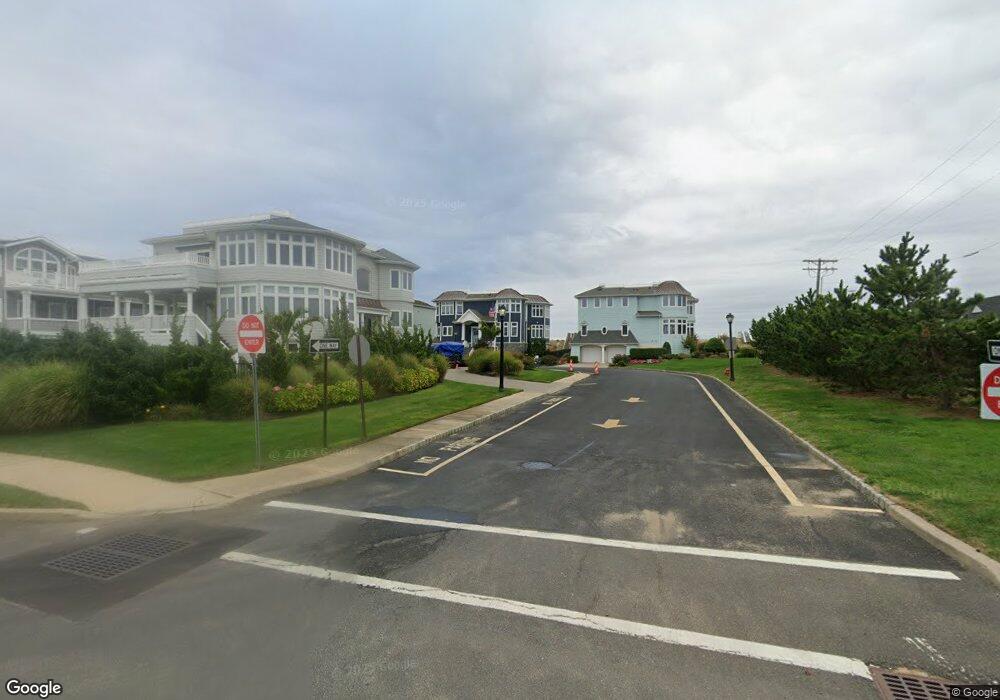
21 Tradewinds Ln Rumson, NJ 07760
Sea Bright NeighborhoodEstimated Value: $3,665,221 - $6,301,000
6
Beds
4
Baths
4,088
Sq Ft
$1,149/Sq Ft
Est. Value
About This Home
This home is located at 21 Tradewinds Ln, Rumson, NJ 07760 and is currently estimated at $4,697,074, approximately $1,148 per square foot. 21 Tradewinds Ln is a home located in Monmouth County with nearby schools including Wolf Hill Elementary School, Maple Place Elementary and Middle School, and Shore Regional High School.
Ownership History
Date
Name
Owned For
Owner Type
Purchase Details
Closed on
Jun 26, 2018
Sold by
Smith Douglas
Bought by
Savino Joseph and Savino Joanne M
Current Estimated Value
Purchase Details
Closed on
Sep 30, 2005
Sold by
Kara At The Tradewinds Llc
Bought by
Smith Douglas
Home Financials for this Owner
Home Financials are based on the most recent Mortgage that was taken out on this home.
Original Mortgage
$2,000,000
Interest Rate
6.34%
Create a Home Valuation Report for This Property
The Home Valuation Report is an in-depth analysis detailing your home's value as well as a comparison with similar homes in the area
Home Values in the Area
Average Home Value in this Area
Purchase History
| Date | Buyer | Sale Price | Title Company |
|---|---|---|---|
| Savino Joseph | $2,260,000 | None Available | |
| Smith Douglas | $3,905,987 | -- |
Source: Public Records
Mortgage History
| Date | Status | Borrower | Loan Amount |
|---|---|---|---|
| Previous Owner | Smith Douglas | $2,000,000 |
Source: Public Records
Tax History Compared to Growth
Tax History
| Year | Tax Paid | Tax Assessment Tax Assessment Total Assessment is a certain percentage of the fair market value that is determined by local assessors to be the total taxable value of land and additions on the property. | Land | Improvement |
|---|---|---|---|---|
| 2025 | $37,703 | $4,743,300 | $3,500,000 | $1,243,300 |
| 2024 | $34,357 | $3,943,800 | $3,000,000 | $943,800 |
| 2023 | $34,357 | $3,355,200 | $2,550,000 | $805,200 |
| 2022 | $33,820 | $2,893,900 | $2,110,000 | $783,900 |
| 2021 | $33,820 | $2,716,500 | $1,950,000 | $766,500 |
| 2020 | $30,101 | $2,344,300 | $1,600,000 | $744,300 |
| 2019 | $33,834 | $2,493,300 | $1,700,000 | $793,300 |
| 2018 | $41,459 | $2,887,100 | $2,085,000 | $802,100 |
| 2017 | $41,752 | $2,861,700 | $2,075,000 | $786,700 |
| 2016 | $38,576 | $2,956,000 | $2,200,000 | $756,000 |
| 2015 | $38,276 | $1,908,100 | $1,100,000 | $808,100 |
| 2014 | $34,716 | $1,738,400 | $1,100,000 | $638,400 |
Source: Public Records
Map
Nearby Homes
- 1332 Ocean Ave Unit 5
- 1340 Ocean Ave Unit 27
- 2 Tradewinds Ln
- 1382 Ocean Ave Unit 17A
- 10 Imbrie Place
- 1184 Ocean Ave Unit A3
- 1492 Ocean Ave Unit A3
- 24 Surf St
- 10 South St
- 11 South St
- 7 South St
- 9 South St
- 1500 Ocean Ave
- 1080 Ocean Ave Unit 402
- 1566 Ocean Ave Unit 38
- 24 Grant Ave
- 100 Seaview Ave Unit 3B
- 75 Wharfside Dr
- 149 Wharfside Dr Unit 705
- 153 Wharfside Dr
- 23 Tradewinds Ln
- 19 Tradewinds Ln
- 17 Tradewinds Ln
- 18 Tradewinds Ln
- 16 Tradewinds Ln
- 15 Tradewinds Ln
- 15 Tradewinds Ln Unit A
- 14 Tradewinds Ln
- 12 Tradewinds Ln
- 11 Tradewinds Ln
- 10 Tradewinds Ln
- 9 Tradewinds Ln
- 1332 Ocean Ave Unit , 3
- 1332 Ocean Ave Unit 8
- 1332 Ocean Ave Unit 13
- 1332 Ocean Ave Unit 4
- 1332 Ocean Ave Unit 9
- 1332 Ocean Ave Unit 12
- 1332 Ocean Ave Unit 10
- 1332 Ocean Ave Unit 6