21 Treeside Dr Westport Island, ME 04578
Estimated Value: $751,000 - $1,255,454
2
Beds
1
Bath
2,732
Sq Ft
$365/Sq Ft
Est. Value
About This Home
This home is located at 21 Treeside Dr, Westport Island, ME 04578 and is currently estimated at $995,864, approximately $364 per square foot. 21 Treeside Dr is a home.
Ownership History
Date
Name
Owned For
Owner Type
Purchase Details
Closed on
Jan 26, 2023
Sold by
Marjorie D Gould Ret and Gould
Bought by
Gould Jonathan H and Gould Marjorie D
Current Estimated Value
Purchase Details
Closed on
Jul 12, 2021
Sold by
Gould Marjorie D and Gould Jonathan H
Bought by
Marjorie D Gould Ret and Gould
Home Financials for this Owner
Home Financials are based on the most recent Mortgage that was taken out on this home.
Original Mortgage
$719,990
Interest Rate
3.05%
Mortgage Type
Purchase Money Mortgage
Purchase Details
Closed on
Sep 22, 2017
Sold by
Gould Jonathan H and Gould Marjorie D
Bought by
Marjorie D Gould Ret and Gould
Purchase Details
Closed on
Jun 25, 2013
Sold by
Richardson 3Rd George D
Bought by
Gould Jonathan H and Gould Marjorie D
Home Financials for this Owner
Home Financials are based on the most recent Mortgage that was taken out on this home.
Original Mortgage
$228,000
Interest Rate
3.45%
Mortgage Type
New Conventional
Create a Home Valuation Report for This Property
The Home Valuation Report is an in-depth analysis detailing your home's value as well as a comparison with similar homes in the area
Home Values in the Area
Average Home Value in this Area
Purchase History
| Date | Buyer | Sale Price | Title Company |
|---|---|---|---|
| Gould Jonathan H | -- | None Available | |
| Gould Jonathan H | -- | None Available | |
| Gould Jonathan H | -- | None Available | |
| Marjorie D Gould Ret | -- | None Available | |
| Marjorie D Gould Ret | -- | None Available | |
| Marjorie D Gould Ret | -- | None Available | |
| Gould Marjorie D | -- | None Available | |
| Gould Marjorie D | -- | None Available | |
| Marjorie D Gould Ret | -- | -- | |
| Marjorie D Gould Ret | -- | -- | |
| Gould Jonathan H | -- | -- | |
| Marjorie D Gould Ret | -- | -- | |
| Gould Jonathan H | -- | -- |
Source: Public Records
Mortgage History
| Date | Status | Borrower | Loan Amount |
|---|---|---|---|
| Previous Owner | Gould Marjorie D | $719,990 | |
| Previous Owner | Marjorie D Gould Ret | $0 | |
| Previous Owner | Gould Jonathan H | $228,000 |
Source: Public Records
Tax History Compared to Growth
Tax History
| Year | Tax Paid | Tax Assessment Tax Assessment Total Assessment is a certain percentage of the fair market value that is determined by local assessors to be the total taxable value of land and additions on the property. | Land | Improvement |
|---|---|---|---|---|
| 2025 | $9,114 | $1,072,276 | $311,780 | $760,496 |
| 2024 | $7,213 | $974,796 | $283,437 | $691,359 |
| 2023 | $6,244 | $953,254 | $261,895 | $691,359 |
| 2022 | $6,485 | $781,355 | $214,668 | $566,687 |
| 2021 | $6,173 | $781,355 | $214,668 | $566,687 |
| 2020 | $5,462 | $674,324 | $214,668 | $459,656 |
| 2019 | $5,037 | $674,324 | $214,668 | $459,656 |
| 2018 | $4,451 | $674,324 | $214,668 | $459,656 |
| 2016 | $1,463 | $203,168 | $203,168 | $0 |
| 2014 | $1,777 | $236,580 | $0 | $0 |
| 2013 | $1,833 | $236,580 | $236,580 | $0 |
Source: Public Records
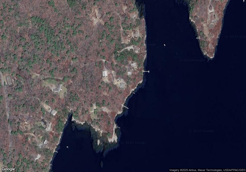
Map
Nearby Homes
- 124 Main Rd
- 119 Knubble Bay Rd
- 92 Brooks Cove Rd
- 44-4 Windrush Ln
- Lot 45-B Cove Rd
- 68 Narrows Way
- M4 L12.30B McCarty Cove Rd
- P/O 4-1 Camerons Point Rd
- 25 N End Rd
- 1 Plum Ln Unit D
- 15 Blueberry Hill Rd
- 129 Five Islands Rd
- 23 Sunny Acres Ln
- 1 Echo Lake Rd
- 0 Maine 144
- 12 Spruce Gum Ln
- 91 Tree Farm Dr
- 1 Cedar Ln Unit 1
- 3 Cedar Ln Unit 3
- 576 Back River Rd
- 24 Treeside Dr
- 37-R Pierce Rd
- 22 Treeside Dr
- 600 Jewett Cove Rd
- 71 Pierce Rd
- 33 Pierce Rd
- 85 Pierce Rd
- 1646 Main Rd
- 00 Pierce Road Lot 2 1c
- Lot 2.1D Pierce Rd
- 1654 Main Rd
- 1646 Main Rd
- 1662 Main Rd
- 86 Pierce Rd
- 63 Kehail Point Rd
- 00 Main Road Lot 2 1b
- 13 Leblanc Rd
- 64 Kehail Point Rd
- 65 Kehail Point Rd
- 22 Leblanc Rd