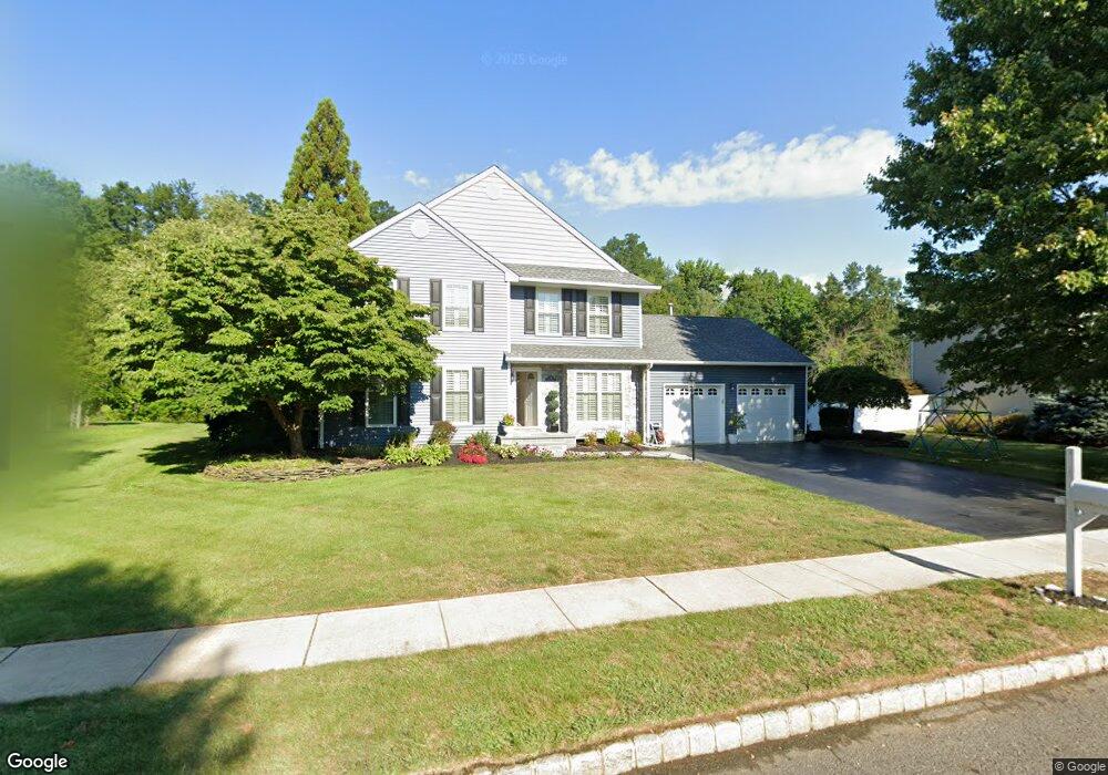
21 Trellis Way Trenton, NJ 08691
Estimated Value: $668,108 - $858,000
--
Bed
--
Bath
1,752
Sq Ft
$438/Sq Ft
Est. Value
About This Home
This home is located at 21 Trellis Way, Trenton, NJ 08691 and is currently estimated at $767,277, approximately $437 per square foot. 21 Trellis Way is a home located in Mercer County with nearby schools including Sharon Elementary School, Pond Road Middle School, and Robbinsville High School.
Ownership History
Date
Name
Owned For
Owner Type
Purchase Details
Closed on
Sep 29, 1999
Sold by
Dertony Michael
Bought by
Harmon Diane and Kotula Deborah
Current Estimated Value
Home Financials for this Owner
Home Financials are based on the most recent Mortgage that was taken out on this home.
Original Mortgage
$193,000
Outstanding Balance
$58,052
Interest Rate
7.78%
Mortgage Type
Purchase Money Mortgage
Estimated Equity
$709,225
Create a Home Valuation Report for This Property
The Home Valuation Report is an in-depth analysis detailing your home's value as well as a comparison with similar homes in the area
Home Values in the Area
Average Home Value in this Area
Purchase History
| Date | Buyer | Sale Price | Title Company |
|---|---|---|---|
| Harmon Diane | $243,000 | -- |
Source: Public Records
Mortgage History
| Date | Status | Borrower | Loan Amount |
|---|---|---|---|
| Open | Harmon Diane | $193,000 |
Source: Public Records
Tax History Compared to Growth
Tax History
| Year | Tax Paid | Tax Assessment Tax Assessment Total Assessment is a certain percentage of the fair market value that is determined by local assessors to be the total taxable value of land and additions on the property. | Land | Improvement |
|---|---|---|---|---|
| 2025 | $13,268 | $397,000 | $242,200 | $154,800 |
| 2024 | $12,382 | $397,000 | $242,200 | $154,800 |
| 2023 | $12,382 | $397,000 | $242,200 | $154,800 |
| 2022 | $11,902 | $397,000 | $242,200 | $154,800 |
| 2021 | $11,731 | $397,000 | $242,200 | $154,800 |
| 2020 | $11,485 | $397,000 | $242,200 | $154,800 |
| 2019 | $11,739 | $397,000 | $242,200 | $154,800 |
| 2018 | $11,664 | $397,000 | $242,200 | $154,800 |
| 2017 | $11,426 | $389,700 | $242,200 | $147,500 |
| 2016 | $11,321 | $389,700 | $242,200 | $147,500 |
| 2015 | $10,899 | $379,700 | $242,200 | $137,500 |
| 2014 | $10,651 | $379,700 | $242,200 | $137,500 |
Source: Public Records
Map
Nearby Homes
- 512 Spruce St
- 205 Maple St
- 110 Robbinsville Allentown Rd
- 968 Robbins-Edinburg Unit 305
- 2350 Route 33 Unit 312
- 102 Burnet Crescent
- 2346 Route 33 Unit 202
- 2346 Route 33 Unit 302
- 7 Gail Ct
- 1 N Commerce Square Unit 305
- 12 Westbury Ct
- 220 Ivanhoe Dr
- 10 Deborah Ct
- 118 Monte Carlo Dr
- 2330 Route 33 Unit 315
- 15 Newtown Blvd
- 117 George St
- 7 Anderson Ln
- 33 Sedona Blvd
- 18 North St