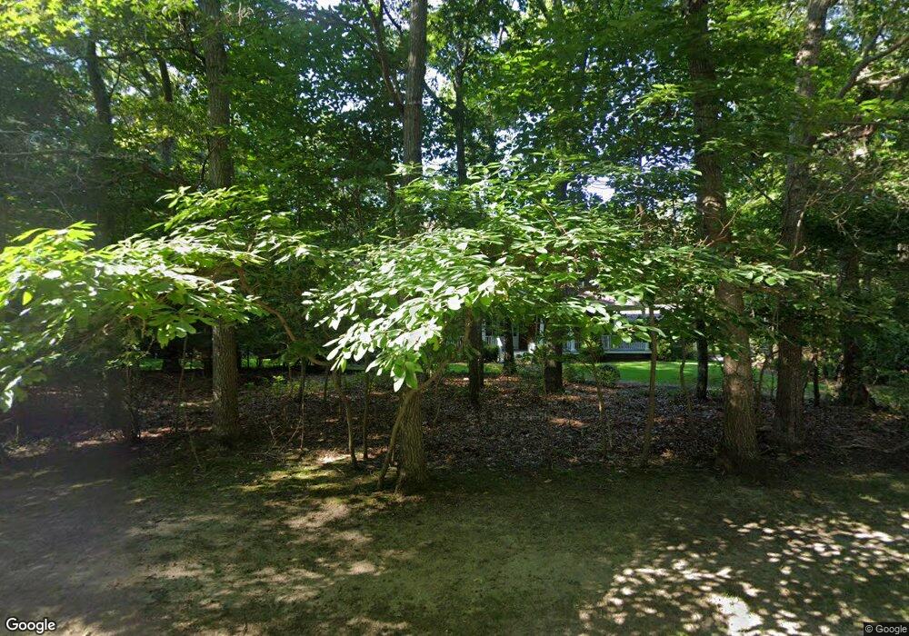
21 Turtle Pond Rd Southampton, NY 11968
Estimated Value: $3,033,000 - $3,440,000
6
Beds
4
Baths
4,864
Sq Ft
$678/Sq Ft
Est. Value
About This Home
This home is located at 21 Turtle Pond Rd, Southampton, NY 11968 and is currently estimated at $3,296,712, approximately $677 per square foot. 21 Turtle Pond Rd is a home located in Suffolk County with nearby schools including Southampton Elementary School, Southampton Intermediate School, and Southampton High School.
Ownership History
Date
Name
Owned For
Owner Type
Purchase Details
Closed on
Jun 3, 2011
Sold by
Lobue Robert T and Lobue Lindsay P
Bought by
Turtle North Llc
Current Estimated Value
Purchase Details
Closed on
Jun 19, 2003
Sold by
Turtle Pond Builders Inc
Bought by
Lobue Robert T and Lobue Lindsay P
Home Financials for this Owner
Home Financials are based on the most recent Mortgage that was taken out on this home.
Original Mortgage
$643,500
Interest Rate
4.5%
Mortgage Type
Purchase Money Mortgage
Create a Home Valuation Report for This Property
The Home Valuation Report is an in-depth analysis detailing your home's value as well as a comparison with similar homes in the area
Home Values in the Area
Average Home Value in this Area
Purchase History
| Date | Buyer | Sale Price | Title Company |
|---|---|---|---|
| Turtle North Llc | $1,375,000 | -- | |
| Lobue Robert T | $990,000 | Fidelity National Title Ins |
Source: Public Records
Mortgage History
| Date | Status | Borrower | Loan Amount |
|---|---|---|---|
| Previous Owner | Lobue Robert T | $643,500 |
Source: Public Records
Tax History Compared to Growth
Tax History
| Year | Tax Paid | Tax Assessment Tax Assessment Total Assessment is a certain percentage of the fair market value that is determined by local assessors to be the total taxable value of land and additions on the property. | Land | Improvement |
|---|---|---|---|---|
| 2024 | -- | $1,519,100 | $530,100 | $989,000 |
| 2023 | -- | $1,519,100 | $530,100 | $989,000 |
| 2022 | $7,202 | $1,519,100 | $530,100 | $989,000 |
| 2021 | $7,202 | $1,519,100 | $530,100 | $989,000 |
| 2020 | $6,334 | $1,519,100 | $530,100 | $989,000 |
| 2019 | $6,334 | $0 | $0 | $0 |
| 2018 | -- | $1,494,900 | $580,600 | $914,300 |
| 2017 | $6,748 | $1,494,900 | $580,600 | $914,300 |
| 2016 | $6,980 | $1,494,900 | $580,600 | $914,300 |
| 2015 | -- | $1,494,900 | $580,600 | $914,300 |
| 2014 | -- | $1,344,600 | $567,600 | $777,000 |
Source: Public Records
Map
Nearby Homes
- 6 Ocean View Pkwy
- 35 Lohan Ct
- 43 Lohan Ct
- 44 Ocean View Pkwy
- 86 Roses Grove Rd
- 11 Scotts Landing Rd
- 11 Deer Trail Rd
- 37 Peconic Bay Ave
- 165 Roses Grove Rd
- 493 Water Mill Towd Rd
- 45 Old Sag Harbor Rd
- 116 Middle Line Hwy
- 38 E Beach Dr
- 40 E Beach Dr
- 22 Old Trail Rd
- 14 Oak Grove Rd
- 6 Trail Ct
- 8 Woody Ct
- 26 Pine Tree Rd
- 7 Ashwood Ct
- 19 Turtle Pond Rd
- 29 Turtle Pond Rd
- 20 Turtle Pond Rd
- 22 Turtle Pond Rd
- 18 Turtle Pond Rd
- 28 Turtle Pond Rd
- 24 Turtle Pond Rd
- 30 Turtle Pond Rd
- 26 Turtle Pond Rd
- 323 Old Sag Harbor Rd
- 16 Ocean View Pkwy
- 325 Old Sag Harbor Rd
- 1 Grove Ave
- 14 Turtle Pond Rd
- 15 Turtle Pond Rd
- 34 Turtle Pond Rd
- 21 Broadway
- 321 Old Sag Harbor Rd
- 18 Ocean View Pkwy
- 14 Ocean View Pkwy