Estimated Value: $744,950 - $975,000
4
Beds
2
Baths
1,737
Sq Ft
$495/Sq Ft
Est. Value
About This Home
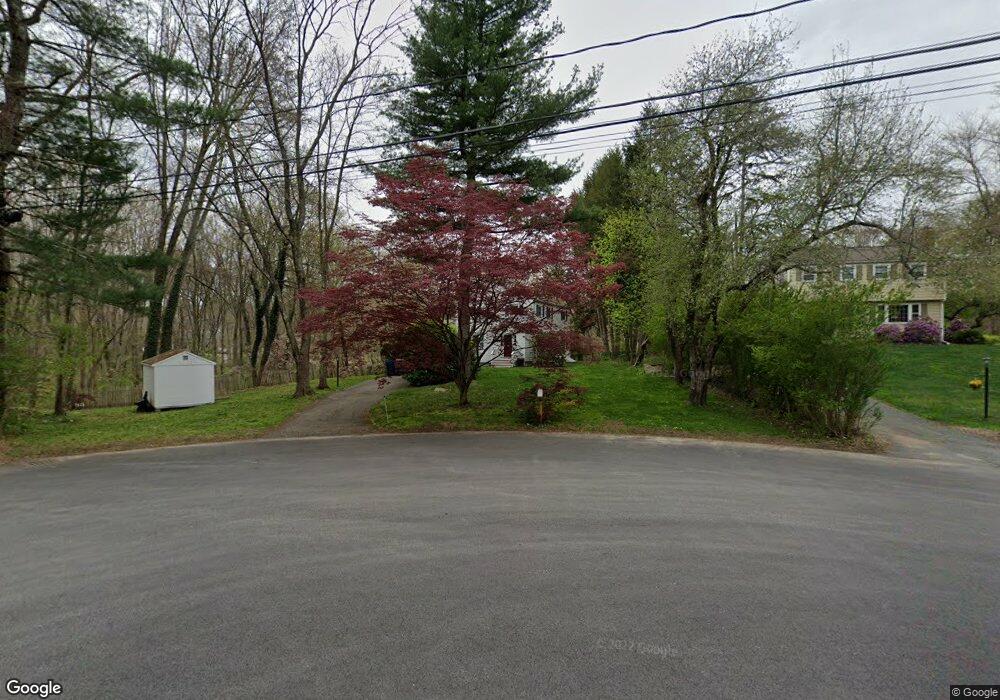
This home is located at 21 Vanderbelt Rd, Acton, MA 01720 and is currently estimated at $859,988, approximately $495 per square foot. 21 Vanderbelt Rd is a home located in Middlesex County with nearby schools including Acton-Boxborough Regional High School, Maynard Knowledge Beginnings, and The Imago School.
Ownership History
Date
Name
Owned For
Owner Type
Purchase Details
Closed on
Jun 29, 1994
Sold by
Adams Robert W and Phelps Susan E
Bought by
Gilfix Daniel A and Gilfix Florence C K
Current Estimated Value
Create a Home Valuation Report for This Property
The Home Valuation Report is an in-depth analysis detailing your home's value as well as a comparison with similar homes in the area
Home Values in the Area
Average Home Value in this Area
Purchase History
| Date | Buyer | Sale Price | Title Company |
|---|---|---|---|
| Gilfix Daniel A | $221,900 | -- |
Source: Public Records
Mortgage History
| Date | Status | Borrower | Loan Amount |
|---|---|---|---|
| Closed | Gilfix Daniel A | $108,000 | |
| Closed | Gilfix Daniel A | $110,000 |
Source: Public Records
Tax History
| Year | Tax Paid | Tax Assessment Tax Assessment Total Assessment is a certain percentage of the fair market value that is determined by local assessors to be the total taxable value of land and additions on the property. | Land | Improvement |
|---|---|---|---|---|
| 2025 | $11,827 | $689,600 | $340,400 | $349,200 |
| 2024 | $11,127 | $667,500 | $340,400 | $327,100 |
| 2023 | $10,827 | $616,600 | $309,900 | $306,700 |
| 2022 | $10,275 | $528,300 | $269,100 | $259,200 |
| 2021 | $10,014 | $495,000 | $249,400 | $245,600 |
| 2020 | $9,524 | $495,000 | $249,400 | $245,600 |
| 2019 | $8,980 | $463,600 | $249,400 | $214,200 |
| 2018 | $8,853 | $456,800 | $249,400 | $207,400 |
| 2017 | $8,644 | $453,500 | $249,400 | $204,100 |
| 2016 | $8,525 | $443,300 | $249,400 | $193,900 |
| 2015 | $8,228 | $431,900 | $249,400 | $182,500 |
| 2014 | $8,054 | $414,100 | $249,400 | $164,700 |
Source: Public Records
Map
Nearby Homes
- 1 Vanderbelt Rd
- 7 Hillcrest Dr
- 70 River St
- 30 Brewster Ln
- 40 High St
- 130 Parker St Unit J2
- 1 Drummer Rd Unit A5
- 129 Main St Unit 129
- 131 Main St
- 184 Main St Unit 3
- 59 Lexington Dr
- 7 Kelley Rd
- 1 Carlton Dr
- 63 Conant St
- 27 Forest Rd
- 46 Taylor Rd
- 65 Summit St
- 36 Brown St
- 6 Beacon Ct
- 96 Forest Ridge Rd Unit 96
- 19 Vanderbelt Rd
- 17 Vanderbelt Rd
- 13 Vanderbelt Rd
- 10 Merriam Ln
- 15 Vanderbelt Rd
- 18 Vanderbelt Rd
- 11 Vanderbelt Rd
- 14 Vanderbelt Rd
- 7 Vanderbelt Rd
- 11 Merriam Ln
- 95 River St
- 12 Vanderbelt Rd
- 20 Olde Surrey Dr
- 5 Vanderbelt Rd
- 103 River St Unit Left
- 103 River St
- 101 River St Unit Left
- 22 Olde Surrey Dr
- 5 Merriam Ln
- 9 Vanderbelt Rd
Your Personal Tour Guide
Ask me questions while you tour the home.