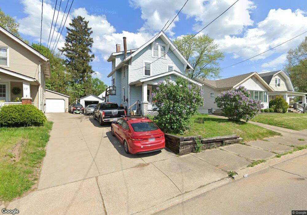
21 Verdun Dr Akron, OH 44312
Ellet NeighborhoodEstimated Value: $139,000 - $147,000
3
Beds
2
Baths
1,469
Sq Ft
$98/Sq Ft
Est. Value
About This Home
This home is located at 21 Verdun Dr, Akron, OH 44312 and is currently estimated at $143,989, approximately $98 per square foot. 21 Verdun Dr is a home located in Summit County with nearby schools including Ellet High School, Summit Academy Akron Elementary School, and Akron Preparatory school.
Ownership History
Date
Name
Owned For
Owner Type
Purchase Details
Closed on
Aug 18, 2005
Sold by
Polosky David A
Bought by
Taylor Michael L and Taylor Holly R
Current Estimated Value
Home Financials for this Owner
Home Financials are based on the most recent Mortgage that was taken out on this home.
Original Mortgage
$68,000
Outstanding Balance
$35,790
Interest Rate
5.69%
Mortgage Type
Fannie Mae Freddie Mac
Estimated Equity
$108,199
Purchase Details
Closed on
Dec 9, 2004
Sold by
Jpmorgan Chase Bank Na
Bought by
Polosky David A
Purchase Details
Closed on
Jun 17, 2004
Sold by
Thomas Gloria J
Bought by
Bank One Na
Purchase Details
Closed on
Aug 22, 2000
Sold by
Thomas David D
Bought by
Thomas Gloria J
Purchase Details
Closed on
Feb 26, 1999
Sold by
Hoffman Gloria Jean and Thomas Gloria
Bought by
Thomas David and Thomas Gloria
Home Financials for this Owner
Home Financials are based on the most recent Mortgage that was taken out on this home.
Original Mortgage
$56,250
Interest Rate
6.83%
Create a Home Valuation Report for This Property
The Home Valuation Report is an in-depth analysis detailing your home's value as well as a comparison with similar homes in the area
Home Values in the Area
Average Home Value in this Area
Purchase History
| Date | Buyer | Sale Price | Title Company |
|---|---|---|---|
| Taylor Michael L | $85,000 | Falls Title Agency Inc | |
| Polosky David A | $45,000 | Sovereign Title Agency Llc | |
| Bank One Na | $54,000 | -- | |
| Thomas Gloria J | -- | -- | |
| Thomas David | -- | Tower City Title Agency Inc |
Source: Public Records
Mortgage History
| Date | Status | Borrower | Loan Amount |
|---|---|---|---|
| Open | Taylor Michael L | $68,000 | |
| Previous Owner | Thomas David | $56,250 | |
| Closed | Taylor Michael L | $17,000 |
Source: Public Records
Tax History
| Year | Tax Paid | Tax Assessment Tax Assessment Total Assessment is a certain percentage of the fair market value that is determined by local assessors to be the total taxable value of land and additions on the property. | Land | Improvement |
|---|---|---|---|---|
| 2024 | $2,060 | $38,998 | $7,151 | $31,847 |
| 2023 | $2,060 | $38,998 | $7,151 | $31,847 |
| 2022 | $1,913 | $28,407 | $5,184 | $23,223 |
| 2021 | $1,915 | $28,407 | $5,184 | $23,223 |
| 2020 | $1,886 | $28,400 | $5,180 | $23,220 |
| 2019 | $1,820 | $24,870 | $4,970 | $19,900 |
| 2018 | $1,796 | $24,870 | $4,970 | $19,900 |
| 2017 | $1,544 | $24,870 | $4,970 | $19,900 |
| 2016 | $1,545 | $20,910 | $4,970 | $15,940 |
| 2015 | $1,544 | $20,910 | $4,970 | $15,940 |
| 2014 | $1,532 | $20,910 | $4,970 | $15,940 |
| 2013 | $1,641 | $22,960 | $4,970 | $17,990 |
Source: Public Records
Map
Nearby Homes
- 20 Verdun Dr
- 82 Dellenberger Ave
- 2258 Mogadore Rd
- 2269 Emerald Dr
- 260 Prairie Dr
- 1874 Adelaide Blvd
- 2331 E Market St
- 282 Schrop Ave
- 248 Malacca St
- 365 Larkin Ave
- 1820 Malasia Rd
- 2382 Mogadore Rd
- 204 Morningview Ave
- 84 Pfeiffer Ave
- 295 Goodview Ave
- 291 Malacca St
- 1852 Cramer Ave
- 250 Morningview Ave
- 274 Fulmer Ave
- 228 Hawk Ave
Your Personal Tour Guide
Ask me questions while you tour the home.