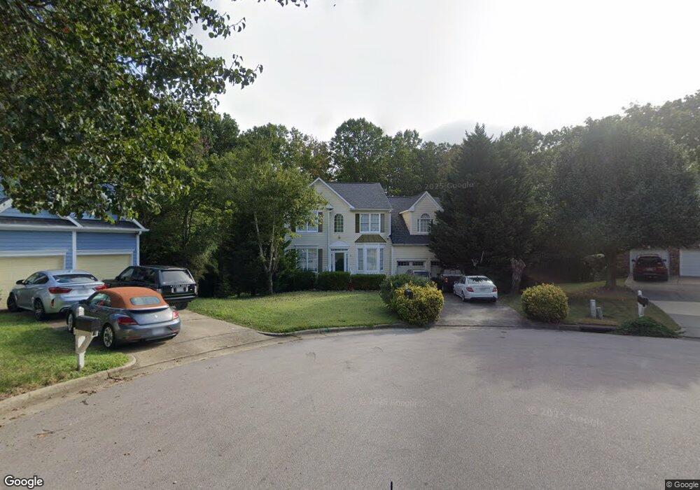
21 Vestrial Ln Durham, NC 27703
Eastern Durham NeighborhoodEstimated Value: $425,529 - $476,000
4
Beds
3
Baths
2,460
Sq Ft
$179/Sq Ft
Est. Value
About This Home
This home is located at 21 Vestrial Ln, Durham, NC 27703 and is currently estimated at $441,382, approximately $179 per square foot. 21 Vestrial Ln is a home located in Durham County with nearby schools including Oak Grove Elementary, John W Neal Middle School, and Southern School of Energy & Sustainability.
Ownership History
Date
Name
Owned For
Owner Type
Purchase Details
Closed on
Apr 25, 2007
Sold by
Lasalle Bank Na
Bought by
Alston Kenneth M and Alston Karen G
Current Estimated Value
Home Financials for this Owner
Home Financials are based on the most recent Mortgage that was taken out on this home.
Original Mortgage
$165,200
Outstanding Balance
$99,609
Interest Rate
6.1%
Mortgage Type
Purchase Money Mortgage
Estimated Equity
$341,773
Purchase Details
Closed on
Feb 8, 2007
Sold by
Brown Rodney D and Brown Julie
Bought by
Lasalle Bank Na and Holders Of The Structured Asset Securiti
Purchase Details
Closed on
Aug 20, 2004
Sold by
Brown Rodney D
Bought by
Brown Rodney D and Brown Julie A
Create a Home Valuation Report for This Property
The Home Valuation Report is an in-depth analysis detailing your home's value as well as a comparison with similar homes in the area
Home Values in the Area
Average Home Value in this Area
Purchase History
| Date | Buyer | Sale Price | Title Company |
|---|---|---|---|
| Alston Kenneth M | $206,500 | U S Land Title | |
| Lasalle Bank Na | $185,304 | None Available | |
| Brown Rodney D | -- | -- |
Source: Public Records
Mortgage History
| Date | Status | Borrower | Loan Amount |
|---|---|---|---|
| Open | Alston Kenneth M | $165,200 | |
| Closed | Alston Kenneth M | $20,650 |
Source: Public Records
Tax History Compared to Growth
Tax History
| Year | Tax Paid | Tax Assessment Tax Assessment Total Assessment is a certain percentage of the fair market value that is determined by local assessors to be the total taxable value of land and additions on the property. | Land | Improvement |
|---|---|---|---|---|
| 2025 | $4,661 | $470,224 | $67,898 | $402,326 |
| 2024 | $3,597 | $257,841 | $38,580 | $219,261 |
| 2023 | $3,377 | $257,841 | $38,580 | $219,261 |
| 2022 | $3,300 | $257,841 | $38,580 | $219,261 |
| 2021 | $3,285 | $257,841 | $38,580 | $219,261 |
| 2020 | $3,207 | $257,841 | $38,580 | $219,261 |
| 2019 | $3,207 | $257,841 | $38,580 | $219,261 |
| 2018 | $3,093 | $228,004 | $27,204 | $200,800 |
| 2017 | $3,070 | $228,004 | $27,204 | $200,800 |
| 2016 | $2,967 | $228,004 | $27,204 | $200,800 |
| 2015 | $2,905 | $209,853 | $29,455 | $180,398 |
| 2014 | $2,905 | $209,853 | $29,455 | $180,398 |
Source: Public Records
Map
Nearby Homes
- 16 Vestrial Ln
- 615 Southshore Pkwy
- 715 Southshore Pkwy
- 519 Keith St
- 128 Leacroft Way
- 503 Bellmeade Bay Dr
- 6 Dawson Ct
- 537 Crossview Ln
- 30 Plumleaf Ln
- 1013 Blackthorn Ln
- 1 Kings Grant Ct
- 2002 Cross Bones Blvd Unit 36
- 2011 Cross Bones Blvd Unit 41
- 807 Outlaw Ave Unit 19
- 1009 Shovelhead Dr Unit 5
- The Poplar Plan at Sherron Road Townes
- 11 Blackthorn Ln
- 9 Blackthorn Ln
- 610 Sherron Rd
- 622 Sherron Rd