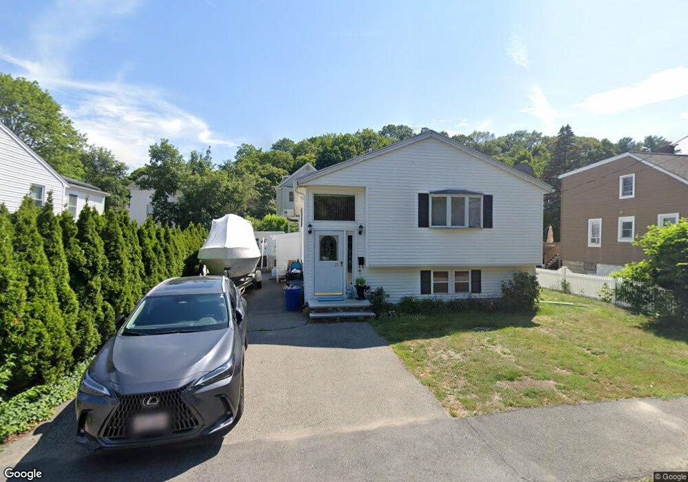
21 Victoria St Saugus, MA 01906
Downtown Saugus NeighborhoodEstimated Value: $564,000 - $694,343
2
Beds
2
Baths
1,767
Sq Ft
$370/Sq Ft
Est. Value
About This Home
This home is located at 21 Victoria St, Saugus, MA 01906 and is currently estimated at $654,086, approximately $370 per square foot. 21 Victoria St is a home located in Essex County with nearby schools including Saugus High School, Pioneer Charter School Of Science II, and Sacred Heart School.
Ownership History
Date
Name
Owned For
Owner Type
Purchase Details
Closed on
Jun 23, 2015
Sold by
Tobin Constance A
Bought by
Tobin John and Tobin Constance A
Current Estimated Value
Purchase Details
Closed on
May 6, 1992
Sold by
Jones Paul
Bought by
Tobin Melvin J and Tobin Constance
Create a Home Valuation Report for This Property
The Home Valuation Report is an in-depth analysis detailing your home's value as well as a comparison with similar homes in the area
Home Values in the Area
Average Home Value in this Area
Purchase History
| Date | Buyer | Sale Price | Title Company |
|---|---|---|---|
| Tobin John | -- | -- | |
| Tobin Melvin J | $100,000 | -- |
Source: Public Records
Tax History Compared to Growth
Tax History
| Year | Tax Paid | Tax Assessment Tax Assessment Total Assessment is a certain percentage of the fair market value that is determined by local assessors to be the total taxable value of land and additions on the property. | Land | Improvement |
|---|---|---|---|---|
| 2025 | $6,477 | $606,500 | $299,600 | $306,900 |
| 2024 | $6,216 | $583,700 | $282,500 | $301,200 |
| 2023 | $6,038 | $536,200 | $248,300 | $287,900 |
| 2022 | $5,921 | $493,000 | $227,700 | $265,300 |
| 2021 | $5,715 | $463,100 | $197,800 | $265,300 |
| 2020 | $5,313 | $445,700 | $188,300 | $257,400 |
| 2019 | $5,060 | $415,400 | $171,200 | $244,200 |
| 2018 | $4,641 | $400,800 | $166,100 | $234,700 |
| 2017 | $4,386 | $364,000 | $155,000 | $209,000 |
| 2016 | $4,271 | $350,100 | $154,700 | $195,400 |
| 2015 | $4,009 | $333,500 | $147,300 | $186,200 |
| 2014 | -- | $303,800 | $147,300 | $156,500 |
Source: Public Records
Map
Nearby Homes
- 105 Winter St
- 6 Martin St
- 33 Springdale Ave
- 5 Springdale Ave
- 26 Winter St Unit 11
- 5 Stanley Terrace
- 1 Atkinson Dr Unit 3
- 87 Riverbank Rd
- 36 Jasper St
- 17 Elaine Ave
- 9 Oakwood Ave
- 13 Seaview Ave
- 62 Chestnut St Unit 4
- 62 Chestnut St Unit 2
- 62 Chestnut St Unit 1
- 9 Adams Ave
- 82 Lincoln Ave
- 483 Central St Unit A
- 335 Lincoln Ave
- 41 Richard St
- 19 Victoria St
- 15 Victoria St
- 1 Stanton St
- 3 Stanton St
- 98 Winter St
- 98 Winter St Unit 2
- 96 Winter St Unit 1
- 96 Winter St
- 23 Victoria St
- 100 Winter St
- 2 Stanton St
- 94 Winter St
- 4 Stanton St
- 0 Winter St Unit 2 73334188
- 0 Winter St
- 11 Victoria St
- 22 Victoria St Unit EXTENSIO
- 1 Evans St
- 5 Stanton St
- 101 Winter St