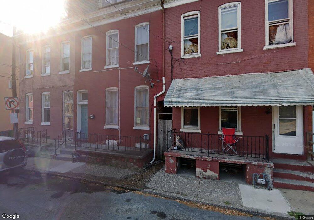
21 W Maple St York, PA 17401
Southwest York NeighborhoodEstimated Value: $103,000 - $155,000
5
Beds
1
Bath
2,064
Sq Ft
$66/Sq Ft
Est. Value
About This Home
This home is located at 21 W Maple St, York, PA 17401 and is currently estimated at $135,360, approximately $65 per square foot. 21 W Maple St is a home located in York County with nearby schools including McKinley School, Hannah Penn Middle School, and William Penn Senior High School.
Ownership History
Date
Name
Owned For
Owner Type
Purchase Details
Closed on
Apr 27, 2011
Sold by
Federal National Mortgage Association
Bought by
Strategic Investments Llc
Current Estimated Value
Purchase Details
Closed on
Jan 18, 2011
Sold by
Key Michael A
Bought by
Federal National Mortgage Association
Purchase Details
Closed on
Jun 7, 2005
Sold by
226 Park Place Llc
Bought by
Key Michael A
Create a Home Valuation Report for This Property
The Home Valuation Report is an in-depth analysis detailing your home's value as well as a comparison with similar homes in the area
Home Values in the Area
Average Home Value in this Area
Purchase History
| Date | Buyer | Sale Price | Title Company |
|---|---|---|---|
| Strategic Investments Llc | $15,000 | None Available | |
| Federal National Mortgage Association | $2,195 | None Available | |
| Key Michael A | $28,080 | -- |
Source: Public Records
Tax History Compared to Growth
Tax History
| Year | Tax Paid | Tax Assessment Tax Assessment Total Assessment is a certain percentage of the fair market value that is determined by local assessors to be the total taxable value of land and additions on the property. | Land | Improvement |
|---|---|---|---|---|
| 2025 | $2,041 | $32,310 | $3,850 | $28,460 |
| 2024 | $2,006 | $32,310 | $3,850 | $28,460 |
| 2023 | $2,006 | $32,310 | $3,850 | $28,460 |
| 2022 | $1,994 | $32,310 | $3,850 | $28,460 |
| 2021 | $1,939 | $32,310 | $3,850 | $28,460 |
| 2020 | $1,894 | $32,310 | $3,850 | $28,460 |
| 2019 | $1,890 | $32,310 | $3,850 | $28,460 |
| 2018 | $1,890 | $32,310 | $3,850 | $28,460 |
| 2017 | $1,916 | $32,310 | $3,850 | $28,460 |
| 2016 | -- | $32,310 | $3,850 | $28,460 |
| 2015 | $1,894 | $32,310 | $3,850 | $28,460 |
| 2014 | $1,894 | $32,310 | $3,850 | $28,460 |
Source: Public Records
Map
Nearby Homes
- 513 S George St
- 71 W Boundary Ave
- 537 S Duke St
- 221 Kings Mill Rd
- 608 S Pershing Ave
- 30 E Cottage Place
- 444 S Queen St
- 721 S George St
- 626 S Pershing Ave
- 712 Bierman Ave
- 254 S Queen St
- 223 W Cottage Place
- 556 S Queen St
- 225 E South St
- 253 Kurtz Ave
- 119 S Beaver St
- 34 W Jackson St
- 284 W Maple St
- 22 W King St
- 816 S Beaver St
- 19 W Maple St
- 23 W Maple St
- 443 Cooper Place
- 441 Cooper Place
- 25 W Maple St
- 439 Cooper Place
- 26 Lafayette St
- 437 Cooper Place
- 452 S George St
- 452 S George St Unit 1REAR
- 452 S George St Unit Rear
- 28 Lafayette St
- 29 W Maple St
- 435 Lindberg Ave
- 450 S George St
- 446 S George St
- 444 S George St
- 30 Lafayette St
- 31 W Maple St
- 26 W Maple St