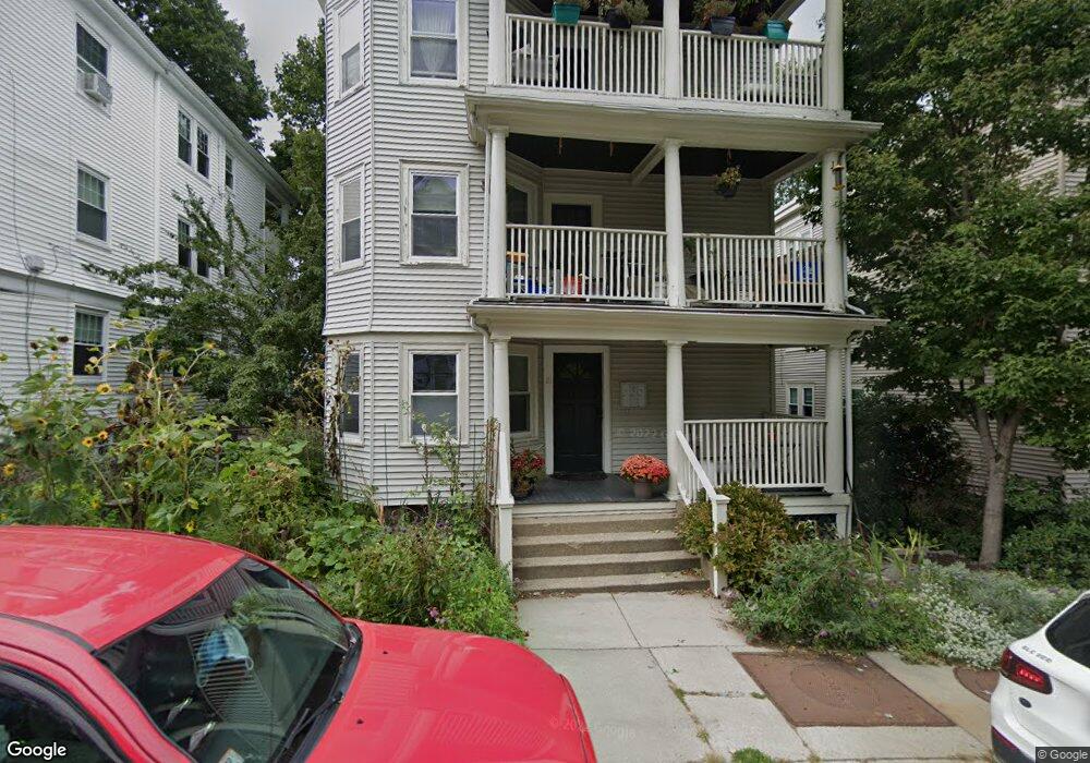
21 Wachusett St Unit 2 Jamaica Plain, MA 02130
Jamaica Plain NeighborhoodEstimated Value: $609,000 - $640,866
2
Beds
1
Bath
969
Sq Ft
$641/Sq Ft
Est. Value
About This Home
This home is located at 21 Wachusett St Unit 2, Jamaica Plain, MA 02130 and is currently estimated at $620,967, approximately $640 per square foot. 21 Wachusett St Unit 2 is a home located in Suffolk County with nearby schools including The Croft School - Jamaica Plain.
Ownership History
Date
Name
Owned For
Owner Type
Purchase Details
Closed on
May 1, 2003
Sold by
Carney Elizabeth D and Mydelski Paul
Bought by
Davis Kevin
Current Estimated Value
Home Financials for this Owner
Home Financials are based on the most recent Mortgage that was taken out on this home.
Original Mortgage
$231,120
Outstanding Balance
$100,669
Interest Rate
5.82%
Mortgage Type
Purchase Money Mortgage
Estimated Equity
$520,298
Create a Home Valuation Report for This Property
The Home Valuation Report is an in-depth analysis detailing your home's value as well as a comparison with similar homes in the area
Home Values in the Area
Average Home Value in this Area
Purchase History
| Date | Buyer | Sale Price | Title Company |
|---|---|---|---|
| Davis Kevin | $288,900 | -- |
Source: Public Records
Mortgage History
| Date | Status | Borrower | Loan Amount |
|---|---|---|---|
| Open | Davis Kevin | $231,120 |
Source: Public Records
Tax History Compared to Growth
Tax History
| Year | Tax Paid | Tax Assessment Tax Assessment Total Assessment is a certain percentage of the fair market value that is determined by local assessors to be the total taxable value of land and additions on the property. | Land | Improvement |
|---|---|---|---|---|
| 2025 | $6,714 | $579,800 | $0 | $579,800 |
| 2024 | $6,138 | $563,100 | $0 | $563,100 |
| 2023 | $5,758 | $536,100 | $0 | $536,100 |
| 2022 | $5,503 | $505,800 | $0 | $505,800 |
| 2021 | $5,140 | $481,700 | $0 | $481,700 |
| 2020 | $4,858 | $460,000 | $0 | $460,000 |
| 2019 | $4,661 | $442,200 | $0 | $442,200 |
| 2018 | $4,499 | $429,300 | $0 | $429,300 |
| 2017 | $4,290 | $405,100 | $0 | $405,100 |
| 2016 | $4,165 | $378,600 | $0 | $378,600 |
| 2015 | $3,954 | $326,500 | $0 | $326,500 |
| 2014 | $3,873 | $307,900 | $0 | $307,900 |
Source: Public Records
Map
Nearby Homes
- 58 Weld Hill St Unit 2
- 64 Hyde Park Ave Unit 3
- 11 Weld Hill St Unit 2
- 26 Tower St
- 143-171 Hyde Park Ave Unit 169A
- 178 Hyde Park Ave Unit 3
- 140 Wachusett St
- 158 Wachusett St Unit 3
- 31 Rodman St Unit 2
- 31 Rodman St Unit 1
- 1 Catenaccia Way Unit 47
- 5 Hampstead Ln Unit 1
- 18-20 Northbourne Rd Unit 18
- 50 Southbourne Rd
- 156A South St Unit 1L
- 5 View South Ave Unit 1
- 41 Brookley Rd Unit 2
- 19 Delford St
- 19 Delford St Unit 1
- 9-11 Boynton St Unit 2
- 21 Wachusett St Unit 3
- 21 Wachusett St Unit 1
- 25 Wachusett St
- 42 Wellington St Unit 44
- 29 Wachusett St Unit 3
- 29 Wachusett St Unit 2
- 29 Wachusett St Unit 1
- 17 Wachusett St Unit 2
- 17 Wachusett St
- 17 Wachusett St
- 17 Wachusett St Unit 1
- 17 Wachusett St Unit 3
- 25 Barlow St
- 28 Leland St
- 28 Leland St
- 28 Leland St Unit 2
- 28 Leland St Unit 1
- 28 Leland St Unit 3
- 23 Barlow St
- 23 Barlow St