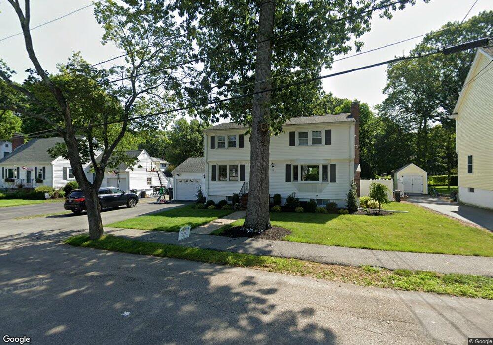
21 Walsh Ave Stoneham, MA 02180
Colonial Park NeighborhoodEstimated Value: $876,000 - $971,000
4
Beds
3
Baths
2,400
Sq Ft
$384/Sq Ft
Est. Value
About This Home
This home is located at 21 Walsh Ave, Stoneham, MA 02180 and is currently estimated at $921,557, approximately $383 per square foot. 21 Walsh Ave is a home located in Middlesex County with nearby schools including Stoneham High School, St. Patrick Elementary School, and Melrose Montessori School.
Ownership History
Date
Name
Owned For
Owner Type
Purchase Details
Closed on
Jan 15, 2009
Sold by
Dalimonte Josephine A
Bought by
Savino-Max Susan L and Max William G
Current Estimated Value
Home Financials for this Owner
Home Financials are based on the most recent Mortgage that was taken out on this home.
Original Mortgage
$300,000
Outstanding Balance
$192,222
Interest Rate
5.52%
Mortgage Type
Purchase Money Mortgage
Estimated Equity
$729,335
Create a Home Valuation Report for This Property
The Home Valuation Report is an in-depth analysis detailing your home's value as well as a comparison with similar homes in the area
Home Values in the Area
Average Home Value in this Area
Purchase History
| Date | Buyer | Sale Price | Title Company |
|---|---|---|---|
| Savino-Max Susan L | $400,000 | -- |
Source: Public Records
Mortgage History
| Date | Status | Borrower | Loan Amount |
|---|---|---|---|
| Open | Savino-Max Susan L | $300,000 |
Source: Public Records
Tax History
| Year | Tax Paid | Tax Assessment Tax Assessment Total Assessment is a certain percentage of the fair market value that is determined by local assessors to be the total taxable value of land and additions on the property. | Land | Improvement |
|---|---|---|---|---|
| 2025 | $7,507 | $733,800 | $400,100 | $333,700 |
| 2024 | $7,265 | $686,000 | $370,100 | $315,900 |
| 2023 | $7,052 | $635,300 | $340,100 | $295,200 |
| 2022 | $6,244 | $599,800 | $320,100 | $279,700 |
| 2021 | $6,253 | $577,900 | $300,100 | $277,800 |
| 2020 | $6,252 | $579,400 | $300,100 | $279,300 |
| 2019 | $5,853 | $521,700 | $260,100 | $261,600 |
| 2018 | $5,691 | $486,000 | $240,100 | $245,900 |
| 2017 | $5,635 | $454,800 | $230,100 | $224,700 |
| 2016 | $5,627 | $443,100 | $230,100 | $213,000 |
| 2015 | $5,549 | $428,200 | $230,100 | $198,100 |
| 2014 | $5,439 | $403,200 | $210,100 | $193,100 |
Source: Public Records
Map
Nearby Homes
- 33 Lake Ave
- 159 Franklin St Unit D2
- 159 Franklin St Unit C2
- 159 Franklin St Unit E6
- 39 Tamarock Terrace
- 132 Walton Park
- 81 Spring St
- 17 Franklin St
- 53 Perkins St
- 137 Franklin St Unit 102
- 12 Lovis Ave
- 601 Franklin St Unit 2
- 3 Veterans Ln
- 9 Lovis Ave
- 24 Gladstone St
- 104 Myrtle Ave
- 24 Ellsworth Ave
- 15 Brookbridge Rd
- 15 Hickory Hill Rd
- 349 W Emerson St