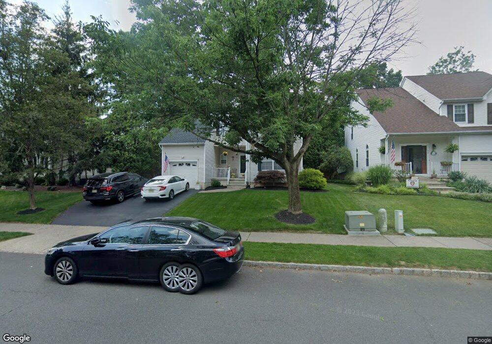
21 Walters Brook Dr Bridgewater, NJ 08807
Estimated Value: $739,335 - $782,000
--
Bed
--
Bath
1,801
Sq Ft
$421/Sq Ft
Est. Value
About This Home
This home is located at 21 Walters Brook Dr, Bridgewater, NJ 08807 and is currently estimated at $758,834, approximately $421 per square foot. 21 Walters Brook Dr is a home located in Somerset County with nearby schools including Milltown School, Eisenhower Intermediate School, and Bridgewater-Raritan Middle School.
Ownership History
Date
Name
Owned For
Owner Type
Purchase Details
Closed on
Jun 25, 2003
Sold by
Depinto Michael
Bought by
Hudock Gerald and Hudock Daniela
Current Estimated Value
Home Financials for this Owner
Home Financials are based on the most recent Mortgage that was taken out on this home.
Original Mortgage
$310,000
Outstanding Balance
$132,638
Interest Rate
5.46%
Estimated Equity
$626,196
Purchase Details
Closed on
Nov 12, 1994
Sold by
Cole Ken
Bought by
Depinto Sherry and Depinto Michael
Home Financials for this Owner
Home Financials are based on the most recent Mortgage that was taken out on this home.
Original Mortgage
$167,000
Interest Rate
9.2%
Purchase Details
Closed on
Dec 29, 1993
Sold by
East Hill Partnership
Bought by
Cole Ken and Cole Ruth
Home Financials for this Owner
Home Financials are based on the most recent Mortgage that was taken out on this home.
Original Mortgage
$115,000
Interest Rate
7%
Create a Home Valuation Report for This Property
The Home Valuation Report is an in-depth analysis detailing your home's value as well as a comparison with similar homes in the area
Home Values in the Area
Average Home Value in this Area
Purchase History
| Date | Buyer | Sale Price | Title Company |
|---|---|---|---|
| Hudock Gerald | $415,000 | -- | |
| Depinto Sherry | $217,000 | -- | |
| Cole Ken | $200,865 | -- |
Source: Public Records
Mortgage History
| Date | Status | Borrower | Loan Amount |
|---|---|---|---|
| Open | Hudock Gerald | $310,000 | |
| Previous Owner | Depinto Sherry | $167,000 | |
| Previous Owner | Cole Ken | $115,000 |
Source: Public Records
Tax History Compared to Growth
Tax History
| Year | Tax Paid | Tax Assessment Tax Assessment Total Assessment is a certain percentage of the fair market value that is determined by local assessors to be the total taxable value of land and additions on the property. | Land | Improvement |
|---|---|---|---|---|
| 2025 | $12,344 | $640,900 | $287,000 | $353,900 |
| 2024 | $12,344 | $632,700 | $287,000 | $345,700 |
| 2023 | $11,616 | $585,200 | $287,000 | $298,200 |
| 2022 | $11,365 | $553,600 | $277,000 | $276,600 |
| 2021 | $11,186 | $537,700 | $277,000 | $260,700 |
| 2020 | $11,186 | $534,200 | $277,000 | $257,200 |
| 2019 | $11,186 | $528,900 | $277,000 | $251,900 |
| 2018 | $11,048 | $523,600 | $277,000 | $246,600 |
| 2017 | $10,820 | $512,300 | $267,000 | $245,300 |
| 2016 | $10,642 | $511,400 | $267,000 | $244,400 |
| 2015 | $10,602 | $509,700 | $267,000 | $242,700 |
| 2014 | $9,772 | $462,700 | $247,000 | $215,700 |
Source: Public Records
Map
Nearby Homes
- 4703 Patterson St Unit 47
- 405 Porter Way W
- 67 Shaffer Rd
- 4101 Dilts Ln
- 43 Wexford Way
- 48 Reinhart Way
- 501 Reading Cir
- 2008 Ackmen Ct
- 2103 Vroom Dr
- 19 Craft Farm Dr
- 2507 Vroom Dr
- 3803 Vroom Dr
- 3705 Vroom Dr Unit 3705
- 2706 Pinhorn Dr
- 3214 Winder Dr
- 2104 Doolittle Dr
- 351 Route 28
- 507 Dunn Cir
- 319 Hannah Way
- 5 Lewis Dr
- 51 Huntley Way
- 49 Huntley Way
- 15 Delaney Ct
- 55 Huntley Way
- 14 Delaney Ct
- 57 Huntley Way
- 47 Huntley Way
- 59 Huntley Way
- 4602 Patterson St
- 4603 Patterson St
- 4604 Patterson St
- 4601 Patterson St Unit 46A
- 4605 Patterson St
- 404 Sarasota Ct
- 4606 Patterson St
- 4607 Patterson St
- 4608 Patterson St
- 61 Huntley Way
- 12 Delaney Ct
- 45 Huntley Way