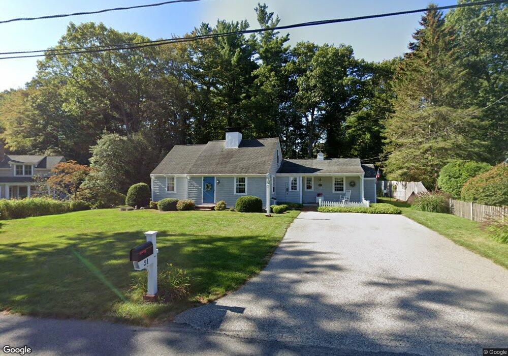
21 Washington Ln Scituate, MA 02066
Estimated Value: $771,000 - $939,000
2
Beds
2
Baths
1,784
Sq Ft
$472/Sq Ft
Est. Value
About This Home
This home is located at 21 Washington Ln, Scituate, MA 02066 and is currently estimated at $841,961, approximately $471 per square foot. 21 Washington Ln is a home located in Plymouth County with nearby schools including Wampatuck Elementary School, Lester J. Gates Middle School, and Scituate High School.
Ownership History
Date
Name
Owned For
Owner Type
Purchase Details
Closed on
Jun 12, 2009
Sold by
Lawrence Frederick P and Lawrence Charlotte M
Bought by
Lawrence Ft
Current Estimated Value
Purchase Details
Closed on
Jan 1, 1975
Bought by
Mcmaster Deborah L and Taylor Bethany M
Create a Home Valuation Report for This Property
The Home Valuation Report is an in-depth analysis detailing your home's value as well as a comparison with similar homes in the area
Home Values in the Area
Average Home Value in this Area
Purchase History
| Date | Buyer | Sale Price | Title Company |
|---|---|---|---|
| Lawrence Ft | -- | -- | |
| Mcmaster Deborah L | -- | -- |
Source: Public Records
Mortgage History
| Date | Status | Borrower | Loan Amount |
|---|---|---|---|
| Previous Owner | Mcmaster Deborah L | $60,000 | |
| Previous Owner | Mcmaster Deborah L | $45,000 |
Source: Public Records
Tax History Compared to Growth
Tax History
| Year | Tax Paid | Tax Assessment Tax Assessment Total Assessment is a certain percentage of the fair market value that is determined by local assessors to be the total taxable value of land and additions on the property. | Land | Improvement |
|---|---|---|---|---|
| 2025 | $6,240 | $624,600 | $358,500 | $266,100 |
| 2024 | $6,121 | $590,800 | $326,000 | $264,800 |
| 2023 | $6,020 | $551,900 | $312,800 | $239,100 |
| 2022 | $6,020 | $477,000 | $276,400 | $200,600 |
| 2021 | $5,805 | $435,500 | $263,200 | $172,300 |
| 2020 | $5,634 | $417,300 | $253,100 | $164,200 |
| 2019 | $5,569 | $405,300 | $248,100 | $157,200 |
| 2018 | $5,565 | $398,900 | $251,200 | $147,700 |
| 2017 | $5,473 | $388,400 | $240,700 | $147,700 |
| 2016 | $5,196 | $367,500 | $219,800 | $147,700 |
| 2015 | $4,677 | $357,000 | $209,300 | $147,700 |
Source: Public Records
Map
Nearby Homes
- 18 James Way
- 290 Beaver Dam Rd
- 111 Elm St
- 115 Elm St
- 74 Tilden Rd
- 148 Tilden Rd
- 76 A Brook St
- 76 A Brook St Unit 1
- 22 Kings Way
- 13 Hornbeam Rd
- 32 Fairview Ave
- 12 Richfield Rd
- 54 Woodland Rd
- 50 First Parish Rd
- 23 Lois Ann Ct Unit 23
- 2 Windward Ln
- 1 Hillside Rd
- 30 Irving Rd
- 14 Aberdeen Dr
- 59 Captain Peirce Rd
- 25 Washington Ln
- 17 Washington Ln
- 16 Washington Ln
- 22 Washington Ln
- 29 Washington Ln
- 15 Washington Ln
- 8 Washington Ln
- 9 Jefferson Ln
- 11 Washington Ln
- 16 Jefferson Ln
- 250 First Parish Rd
- 12 Jefferson Ln
- 3 Jefferson Ln
- 256 First Parish Rd
- 8 Jefferson Ln
- 233 Beaver Dam Rd
- 246 First Parish Rd
- 5 Washington Ln
- 229 Beaver Dam Rd
- 245 Beaver Dam Rd