21 West Dr Sag Harbor, NY 11963
Estimated Value: $3,995,000 - $5,010,231
4
Beds
2
Baths
4,032
Sq Ft
$1,133/Sq Ft
Est. Value
About This Home
This home is located at 21 West Dr, Sag Harbor, NY 11963 and is currently estimated at $4,568,058, approximately $1,132 per square foot. 21 West Dr is a home located in Suffolk County with nearby schools including Sag Harbor Elementary School and Pierson Middle/High School.
Ownership History
Date
Name
Owned For
Owner Type
Purchase Details
Closed on
Jan 18, 2014
Sold by
Lamontagne Susan
Bought by
Bensadoun David and Shavrit Galit
Current Estimated Value
Home Financials for this Owner
Home Financials are based on the most recent Mortgage that was taken out on this home.
Original Mortgage
$1,332,500
Outstanding Balance
$939,152
Interest Rate
2.75%
Mortgage Type
New Conventional
Estimated Equity
$3,628,906
Purchase Details
Closed on
Aug 31, 2005
Sold by
Levesque Jean
Bought by
Lamontagne Susan
Purchase Details
Closed on
Apr 7, 2005
Sold by
Green Robert S
Bought by
Levesque Jean
Create a Home Valuation Report for This Property
The Home Valuation Report is an in-depth analysis detailing your home's value as well as a comparison with similar homes in the area
Home Values in the Area
Average Home Value in this Area
Purchase History
| Date | Buyer | Sale Price | Title Company |
|---|---|---|---|
| Bensadoun David | $2,050,000 | Old Republic Title | |
| Lamontagne Susan | $990,375 | -- | |
| Levesque Jean | $885,000 | Robert Lewis |
Source: Public Records
Mortgage History
| Date | Status | Borrower | Loan Amount |
|---|---|---|---|
| Open | Bensadoun David | $1,332,500 |
Source: Public Records
Tax History Compared to Growth
Tax History
| Year | Tax Paid | Tax Assessment Tax Assessment Total Assessment is a certain percentage of the fair market value that is determined by local assessors to be the total taxable value of land and additions on the property. | Land | Improvement |
|---|---|---|---|---|
| 2024 | $2,217 | $2,185,800 | $886,200 | $1,299,600 |
| 2023 | $14,430 | $2,185,800 | $886,200 | $1,299,600 |
| 2022 | $13,484 | $2,185,800 | $886,200 | $1,299,600 |
| 2021 | $13,484 | $2,264,800 | $974,800 | $1,290,000 |
| 2020 | $14,630 | $2,264,800 | $974,800 | $1,290,000 |
| 2019 | $14,481 | $0 | $0 | $0 |
| 2018 | -- | $2,264,800 | $974,800 | $1,290,000 |
| 2017 | $12,690 | $2,001,600 | $711,600 | $1,290,000 |
| 2016 | $13,166 | $2,001,600 | $711,600 | $1,290,000 |
| 2015 | -- | $2,001,600 | $711,600 | $1,290,000 |
| 2014 | -- | $1,518,400 | $582,200 | $936,200 |
Source: Public Records
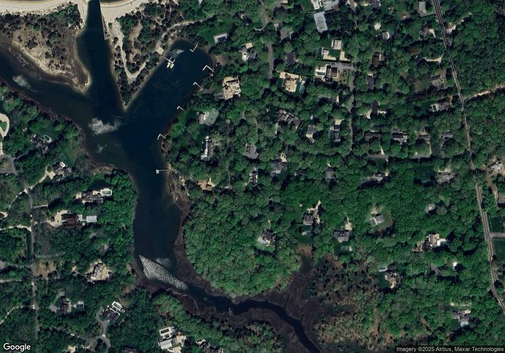
Map
Nearby Homes
- 8 Widow Coopers Path
- 3 N Haven Way
- 9 Seaponack Dr
- 27 Gardiners Path
- 12 N Haven Way
- 24 On the Bluffs
- 26 Mashomuck Dr
- 32 Mashomuck Dr
- 33 Mashomuck Dr
- 115 S Ferry Rd
- 31 Bayberry Ln
- 18 Sunset Rd
- 2 Sunset Rd
- 9 & 7 Westmoreland Dr
- 15A / 15 & 13 S Menantic Rd
- 21 Thompson Rd
- 166 Ferry Rd
- 15 Maunakea St
- 100 S Ferry Rd
- 27 Fresh Pond Rd