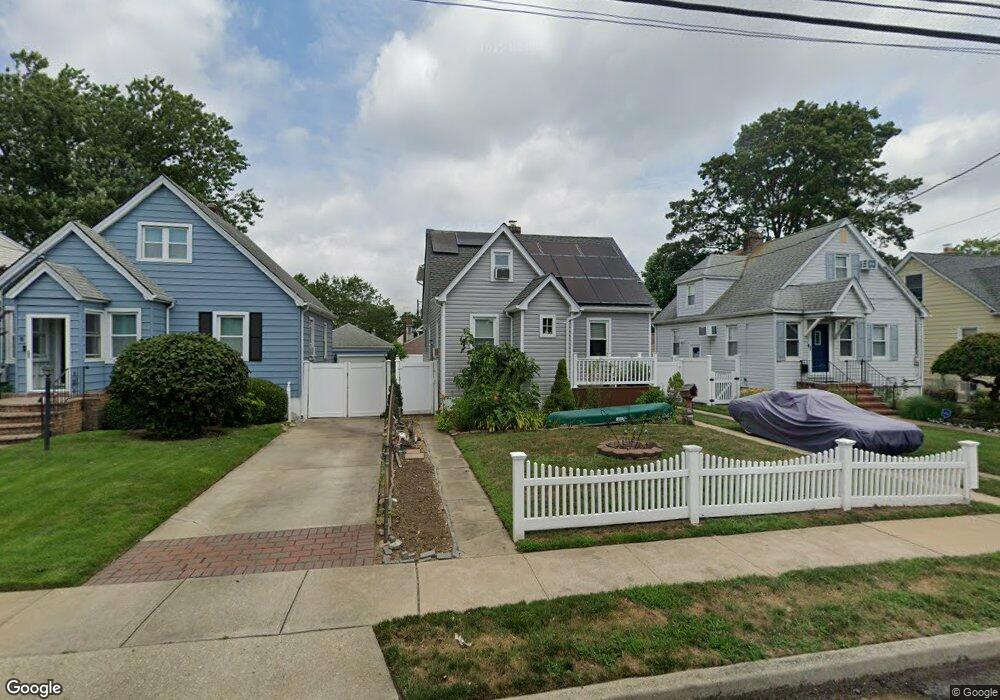
21 Westmoreland Rd Merrick, NY 11566
Estimated Value: $552,000 - $645,452
3
Beds
1
Bath
904
Sq Ft
$662/Sq Ft
Est. Value
About This Home
This home is located at 21 Westmoreland Rd, Merrick, NY 11566 and is currently estimated at $598,726, approximately $662 per square foot. 21 Westmoreland Rd is a home located in Nassau County with nearby schools including Merrick Avenue Middle School, Sanford H Calhoun High School, and Grace Christian Academy.
Ownership History
Date
Name
Owned For
Owner Type
Purchase Details
Closed on
Jan 8, 2014
Sold by
Okeefe Marie Ellen and Riger Family Trust 2011 Irrevo
Bought by
Mazza Janis
Current Estimated Value
Home Financials for this Owner
Home Financials are based on the most recent Mortgage that was taken out on this home.
Original Mortgage
$235,750
Outstanding Balance
$178,727
Interest Rate
4.5%
Mortgage Type
FHA
Estimated Equity
$419,999
Purchase Details
Closed on
Mar 31, 2011
Sold by
Rieger Marie A
Bought by
O'Keefe Marie Ellen and The Rieger Family 2011 Irrevoc
Create a Home Valuation Report for This Property
The Home Valuation Report is an in-depth analysis detailing your home's value as well as a comparison with similar homes in the area
Home Values in the Area
Average Home Value in this Area
Purchase History
| Date | Buyer | Sale Price | Title Company |
|---|---|---|---|
| Mazza Janis | $240,100 | -- | |
| O'Keefe Marie Ellen | -- | -- |
Source: Public Records
Mortgage History
| Date | Status | Borrower | Loan Amount |
|---|---|---|---|
| Open | Mazza Janis | $235,750 |
Source: Public Records
Tax History Compared to Growth
Tax History
| Year | Tax Paid | Tax Assessment Tax Assessment Total Assessment is a certain percentage of the fair market value that is determined by local assessors to be the total taxable value of land and additions on the property. | Land | Improvement |
|---|---|---|---|---|
| 2025 | $11,110 | $366 | $168 | $198 |
| 2024 | $2,539 | $365 | $168 | $197 |
| 2023 | $10,567 | $379 | $174 | $205 |
| 2022 | $10,567 | $379 | $174 | $205 |
| 2021 | $14,422 | $364 | $167 | $197 |
| 2020 | $10,025 | $488 | $487 | $1 |
| 2019 | $9,283 | $488 | $487 | $1 |
| 2018 | $8,718 | $488 | $0 | $0 |
| 2017 | $5,615 | $488 | $487 | $1 |
| 2016 | $7,704 | $488 | $456 | $32 |
| 2015 | $1,331 | $488 | $456 | $32 |
| 2014 | $1,331 | $488 | $456 | $32 |
| 2013 | $1,831 | $650 | $608 | $42 |
Source: Public Records
Map
Nearby Homes
- 1674 Birch Dr
- 10 Central Pkwy
- 1690 Argyle Rd
- 131 Gregory Ave
- 49 Princeton Place
- 174 Babylon Turnpike
- 31 Alice St
- 2991 Girard Place
- 54 Beverly Rd
- 2291 Girard Place
- 2608 Montauk Ave
- 25 Babylon Turnpike
- 96 Beach Dr
- 2 Dorothy Ct
- 10 Dorothy Ct
- 179 Commonwealth Ave
- 1859 George Ct
- 45 Lakeview Ave
- 2729 Shore Dr
- 78 Jesse St
- 1700 Westmoreland Rd
- 23 Westmoreland Rd
- 19 Westmoreland Rd
- 1723 Westmoreland Rd
- 25 Westmoreland Rd
- 1711 Westmoreland Rd
- 1722 Berkshire Rd
- 15 Berkshire Rd
- 19 Berkshire Rd
- 1707 Westmoreland Rd
- 1732 Westmoreland Rd
- 23 Berkshire Rd
- 5 Berkshire Rd
- 1718 Westmoreland Rd
- 13 Westmoreland Rd
- 18 Westmoreland Rd
- 27 Berkshire Rd
- 1708 Westmoreland Rd
- 1 Berkshire Rd
- 9 Westmoreland Rd