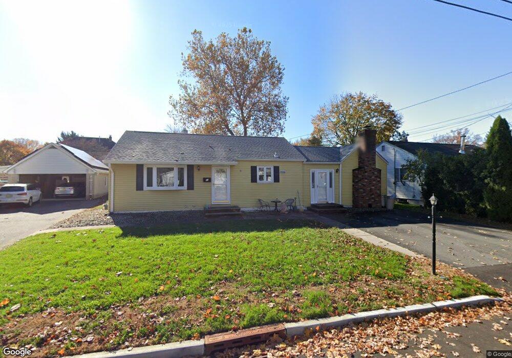
21 Wolff Ave East Brunswick, NJ 08816
Estimated Value: $359,388 - $592,000
3
Beds
1
Bath
1,368
Sq Ft
$371/Sq Ft
Est. Value
About This Home
This home is located at 21 Wolff Ave, East Brunswick, NJ 08816 and is currently estimated at $507,347, approximately $370 per square foot. 21 Wolff Ave is a home located in Middlesex County with nearby schools including Central Elementary School, Churchill Junior High School, and Hammarskjold Upper Elementary School.
Ownership History
Date
Name
Owned For
Owner Type
Purchase Details
Closed on
Sep 29, 2009
Sold by
Manning Roy and Manning Elizabeth P
Bought by
Coppa John
Current Estimated Value
Home Financials for this Owner
Home Financials are based on the most recent Mortgage that was taken out on this home.
Original Mortgage
$244,000
Interest Rate
5.11%
Mortgage Type
New Conventional
Create a Home Valuation Report for This Property
The Home Valuation Report is an in-depth analysis detailing your home's value as well as a comparison with similar homes in the area
Home Values in the Area
Average Home Value in this Area
Purchase History
| Date | Buyer | Sale Price | Title Company |
|---|---|---|---|
| Coppa John | $315,000 | None Available |
Source: Public Records
Mortgage History
| Date | Status | Borrower | Loan Amount |
|---|---|---|---|
| Previous Owner | Coppa John | $244,000 |
Source: Public Records
Tax History Compared to Growth
Tax History
| Year | Tax Paid | Tax Assessment Tax Assessment Total Assessment is a certain percentage of the fair market value that is determined by local assessors to be the total taxable value of land and additions on the property. | Land | Improvement |
|---|---|---|---|---|
| 2025 | $8,404 | $70,000 | $19,600 | $50,400 |
| 2024 | $8,174 | $70,000 | $19,600 | $50,400 |
| 2023 | $8,174 | $70,000 | $19,600 | $50,400 |
| 2022 | $8,145 | $70,000 | $19,600 | $50,400 |
| 2021 | $7,913 | $70,000 | $19,600 | $50,400 |
| 2020 | $7,901 | $70,000 | $19,600 | $50,400 |
| 2019 | $7,819 | $70,000 | $19,600 | $50,400 |
| 2018 | $7,678 | $70,000 | $19,600 | $50,400 |
| 2017 | $7,554 | $70,000 | $19,600 | $50,400 |
| 2016 | $7,397 | $70,000 | $19,600 | $50,400 |
| 2015 | $7,211 | $70,000 | $19,600 | $50,400 |
| 2014 | $7,057 | $70,000 | $19,600 | $50,400 |
Source: Public Records
Map
Nearby Homes
- 82 Milltown Rd
- 15 Cortland Dr
- 45 Cortland Dr
- 18 Milltown Rd
- 4 Clayton Ct
- 28 Elm St
- 5 Lois Ave
- 77 Wilcox Ave
- 212 Old Bridge Turnpike
- 166 Joseph St
- 7 Wedgewood Ct
- 28 Johnson Place
- 4 Colin St
- 147 Old Bridge Turnpike
- 13 Mclellan Ct
- 19 Wilcox Ave
- 139 Old Bridge Turnpike
- 22 Roosevelt St
- 86 Hillside Ave
- 13 Garwood St
- 23 Wolff Ave
- 19 Wolff Ave
- 26 Green Acres Ave
- 28 Green Acres Ave
- 24 Green Acres Ave
- 27 Wolff Ave
- 17 Wolff Ave
- 20 Wolff Ave
- 22 Green Acres Ave
- 30 Green Acres Ave
- 14 Wolff Ave
- 15 Wolff Ave
- 20 Green Acres Ave
- 26 Wolff Ave
- 5 Safran Ave
- 18 Green Acres Ave
- 25 Green Acres Ave
- 13 Wolff Ave
- 10 Wolff Ave
- 23 Green Acres Ave