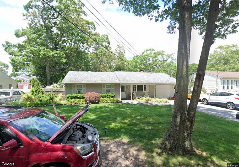
21 Wood Ave Mastic, NY 11950
Estimated Value: $302,000 - $454,531
3
Beds
1
Bath
1,046
Sq Ft
$390/Sq Ft
Est. Value
About This Home
This home is located at 21 Wood Ave, Mastic, NY 11950 and is currently estimated at $407,633, approximately $389 per square foot. 21 Wood Ave is a home located in Suffolk County with nearby schools including Moriches Elementary School, William Floyd Middle School, and William Floyd High School.
Ownership History
Date
Name
Owned For
Owner Type
Purchase Details
Closed on
Aug 31, 2009
Sold by
Elkin Michele
Bought by
Schettino Salvatore
Current Estimated Value
Home Financials for this Owner
Home Financials are based on the most recent Mortgage that was taken out on this home.
Original Mortgage
$1,013
Interest Rate
4.77%
Mortgage Type
Purchase Money Mortgage
Purchase Details
Closed on
Dec 1, 1997
Sold by
Cigna Steven and Cigna Mary P
Bought by
Elkin Michele
Purchase Details
Closed on
Mar 3, 1995
Sold by
United States Of America
Bought by
Cigna Steven and Cigna Mary P
Create a Home Valuation Report for This Property
The Home Valuation Report is an in-depth analysis detailing your home's value as well as a comparison with similar homes in the area
Home Values in the Area
Average Home Value in this Area
Purchase History
| Date | Buyer | Sale Price | Title Company |
|---|---|---|---|
| Schettino Salvatore | $155,000 | Michael Croston | |
| Elkin Michele | $50,000 | Venture Title Agency | |
| Cigna Steven | $45,000 | Fidelity National Title Ins |
Source: Public Records
Mortgage History
| Date | Status | Borrower | Loan Amount |
|---|---|---|---|
| Closed | Schettino Salvatore | $1,013 |
Source: Public Records
Tax History Compared to Growth
Tax History
| Year | Tax Paid | Tax Assessment Tax Assessment Total Assessment is a certain percentage of the fair market value that is determined by local assessors to be the total taxable value of land and additions on the property. | Land | Improvement |
|---|---|---|---|---|
| 2024 | $7,563 | $1,870 | $160 | $1,710 |
| 2023 | $7,563 | $1,870 | $160 | $1,710 |
| 2022 | $8,407 | $1,870 | $160 | $1,710 |
| 2021 | $8,407 | $1,870 | $160 | $1,710 |
| 2020 | $8,586 | $1,870 | $160 | $1,710 |
| 2019 | $8,586 | $0 | $0 | $0 |
| 2018 | $8,258 | $1,870 | $160 | $1,710 |
| 2017 | $8,258 | $1,870 | $160 | $1,710 |
| 2016 | $8,259 | $1,870 | $160 | $1,710 |
| 2015 | -- | $1,870 | $160 | $1,710 |
| 2014 | -- | $1,870 | $160 | $1,710 |
Source: Public Records
Map
Nearby Homes
- 29 Wood Ave
- 3 Hoover Ct
- V/L Versa Place
- 0 Bedford Ave Unit KEYL3488158
- 8 Paul Dr
- 43 Hampton Ave
- 6 Bonny Dr
- 0 Van Buren St
- 72 Clinton Ave
- 114 Bedford Ave
- 14 Hawthorne St
- 0 Mcgraw St Unit KEY868704
- 29 Bedford Ave
- 1287 Montauk Hwy
- 5 Ormond Place
- 66 Wood Ave
- 68 Ostend Cir
- 21 Broadway
- 1397 Montauk Hwy
- NC Malta Place