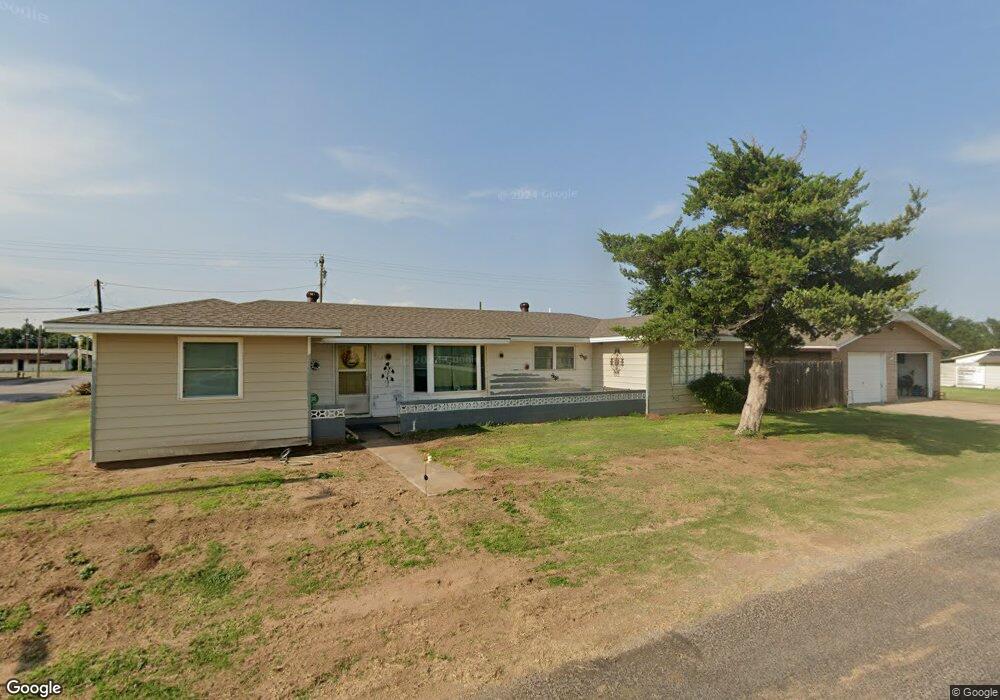
210 3rd St Fort Supply, OK 73841
Estimated Value: $111,128 - $152,000
3
Beds
2
Baths
1,494
Sq Ft
$83/Sq Ft
Est. Value
About This Home
This home is located at 210 3rd St, Fort Supply, OK 73841 and is currently estimated at $123,282, approximately $82 per square foot. 210 3rd St is a home with nearby schools including Fort Supply Elementary School and Fort Supply High School.
Ownership History
Date
Name
Owned For
Owner Type
Purchase Details
Closed on
Oct 30, 2018
Sold by
Merritt Jerry Lee and Merritt Mary Ann
Bought by
Lynn Thomas Randy
Current Estimated Value
Home Financials for this Owner
Home Financials are based on the most recent Mortgage that was taken out on this home.
Original Mortgage
$93,575
Outstanding Balance
$81,942
Interest Rate
4.6%
Mortgage Type
New Conventional
Estimated Equity
$41,340
Purchase Details
Closed on
Jun 24, 2013
Sold by
Cleveland Richard W and Cleveland Dolores
Bought by
Merritt Jerry Lee and Merritt Mary Ann
Create a Home Valuation Report for This Property
The Home Valuation Report is an in-depth analysis detailing your home's value as well as a comparison with similar homes in the area
Home Values in the Area
Average Home Value in this Area
Purchase History
| Date | Buyer | Sale Price | Title Company |
|---|---|---|---|
| Lynn Thomas Randy | $98,500 | First American Title Insuran | |
| Merritt Jerry Lee | $81,000 | None Available |
Source: Public Records
Mortgage History
| Date | Status | Borrower | Loan Amount |
|---|---|---|---|
| Open | Lynn Thomas Randy | $93,575 |
Source: Public Records
Tax History Compared to Growth
Tax History
| Year | Tax Paid | Tax Assessment Tax Assessment Total Assessment is a certain percentage of the fair market value that is determined by local assessors to be the total taxable value of land and additions on the property. | Land | Improvement |
|---|---|---|---|---|
| 2023 | $559 | $8,567 | $2,310 | $6,257 |
| 2022 | $559 | $8,567 | $2,310 | $6,257 |
| 2021 | $559 | $8,567 | $2,310 | $6,257 |
| 2020 | $657 | $8,567 | $2,310 | $6,257 |
| 2019 | $859 | $10,835 | $2,310 | $8,525 |
| 2018 | $551 | $7,369 | $2,310 | $5,059 |
| 2017 | $534 | $7,154 | $2,310 | $4,844 |
| 2016 | $687 | $8,910 | $508 | $8,402 |
| 2015 | $665 | $8,910 | $508 | $8,402 |
| 2014 | $665 | $8,910 | $508 | $8,402 |
Source: Public Records
Map
Nearby Homes
- 6489 U S 270
- Tbd
- 0000 0000
- 38368 S County Road 195
- 160 Ns 191st Rd
- 10 acres ± Sec 24-23-22 Tract 4 Unit Tract 4 in W2SW4 24-
- 186332 E County Road 37
- 20 acres ± Sec 24-23-22 Tract 1 & 4 Unit Tract 1, 4, and 8 in
- Tract in SE/4 36-24-24 Ellis County
- 10 acres ± Sec 24-23-22 Tract 1 Unit Tract 1 in W2SW4 24-
- 39682 S County Road 196
- 0 E County Road 400 Unit 20251311
- 0 E County Road 400 Unit 22337586
- 14569 U S 270
- 10 acres ± Sec 32-23-21 Unit Tract 6
- 10 acres ± Sec 32-23-21 Unit Tract 5
- 10 acres ± Sec 32-23-21 Unit Tract 3
- 6820 State Highway 34
- SEC 32-23-21 Tract F
- 4616 Oil Patch Dr