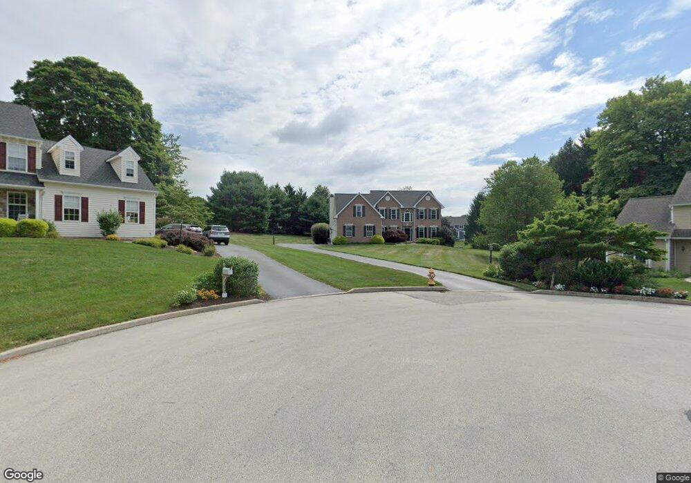
210 Alyssa Cir West Chester, PA 19380
Estimated Value: $902,752 - $1,029,000
4
Beds
4
Baths
2,975
Sq Ft
$328/Sq Ft
Est. Value
About This Home
This home is located at 210 Alyssa Cir, West Chester, PA 19380 and is currently estimated at $974,438, approximately $327 per square foot. 210 Alyssa Cir is a home located in Chester County with nearby schools including Fern Hill Elementary School, E.N. Peirce Middle School, and Henderson High School.
Ownership History
Date
Name
Owned For
Owner Type
Purchase Details
Closed on
Dec 5, 2024
Sold by
Mascetti Caesar F and Mascetti Ceasar F
Bought by
Pogosky Alexandra and Schnall Samuel
Current Estimated Value
Home Financials for this Owner
Home Financials are based on the most recent Mortgage that was taken out on this home.
Original Mortgage
$690,000
Outstanding Balance
$684,500
Interest Rate
6.72%
Mortgage Type
New Conventional
Estimated Equity
$289,938
Purchase Details
Closed on
Jun 12, 1996
Sold by
Sheridan Construction Company
Bought by
Mascetti Caesar F and Mascetti Sharon A
Home Financials for this Owner
Home Financials are based on the most recent Mortgage that was taken out on this home.
Original Mortgage
$259,800
Interest Rate
7.25%
Create a Home Valuation Report for This Property
The Home Valuation Report is an in-depth analysis detailing your home's value as well as a comparison with similar homes in the area
Home Values in the Area
Average Home Value in this Area
Purchase History
| Date | Buyer | Sale Price | Title Company |
|---|---|---|---|
| Pogosky Alexandra | $920,000 | None Listed On Document | |
| Mascetti Caesar F | $324,790 | -- |
Source: Public Records
Mortgage History
| Date | Status | Borrower | Loan Amount |
|---|---|---|---|
| Open | Pogosky Alexandra | $690,000 | |
| Previous Owner | Mascetti Caesar F | $259,800 |
Source: Public Records
Tax History Compared to Growth
Tax History
| Year | Tax Paid | Tax Assessment Tax Assessment Total Assessment is a certain percentage of the fair market value that is determined by local assessors to be the total taxable value of land and additions on the property. | Land | Improvement |
|---|---|---|---|---|
| 2025 | $7,449 | $256,970 | $58,410 | $198,560 |
| 2024 | $7,449 | $256,970 | $58,410 | $198,560 |
| 2023 | $7,449 | $256,970 | $58,410 | $198,560 |
| 2022 | $7,352 | $256,970 | $58,410 | $198,560 |
| 2021 | $7,250 | $256,970 | $58,410 | $198,560 |
| 2020 | $7,203 | $256,970 | $58,410 | $198,560 |
| 2019 | $7,103 | $256,970 | $58,410 | $198,560 |
| 2018 | $6,952 | $256,970 | $58,410 | $198,560 |
| 2017 | $6,801 | $256,970 | $58,410 | $198,560 |
| 2016 | $5,598 | $256,970 | $58,410 | $198,560 |
| 2015 | $5,598 | $256,970 | $58,410 | $198,560 |
| 2014 | $5,598 | $256,970 | $58,410 | $198,560 |
Source: Public Records
Map
Nearby Homes
- 306 Greenhill Rd
- 95 Eakins Cir
- 90 Eakins Cir
- 116 Windridge Dr
- 1230 Pottstown Pike
- 1302 Ashbridge Rd
- 14 Greenhill Rd
- 1405 Gorky Ln
- 1322 Ashbridge Rd
- 1614 Phillips Dr
- 300 Kirkland Ave Unit DEVONSHIRE
- 300 Kirkland Ave Unit HAWTHORNE
- 300 Kirkland Ave Unit SAVANNAH
- 300 Kirkland Ave Unit AUGUSTA
- 112 Waterwillow Rd
- Kipling Plan at The Woodlands at Brandywine
- Nottingham Plan at The Woodlands at Brandywine
- Hawthorne Plan at The Woodlands at Brandywine
- Savannah Plan at The Woodlands at Brandywine
- Magnolia Plan at The Woodlands at Brandywine
- 207 Alyssa Cir
- 208 Alyssa Cir
- 1245 Hamilton Dr
- 1249 Hamilton Dr
- 1239 Hamilton Dr
- 1237 Hamilton Dr
- 313 Reynolds Ln
- 311 Reynolds Ln
- 1241 Hamilton Dr
- 205 Alyssa Cir
- 1233 Hamilton Dr
- 309 Reynolds Ln
- 245 Greenhill Rd
- 206 Alyssa Cir
- 305 Reynolds Ln
- 1231 Hamilton Dr
- 203 Alyssa Cir
- 1250 Hamilton Dr
- 1238 Hamilton Dr
- 314 Reynolds Ln