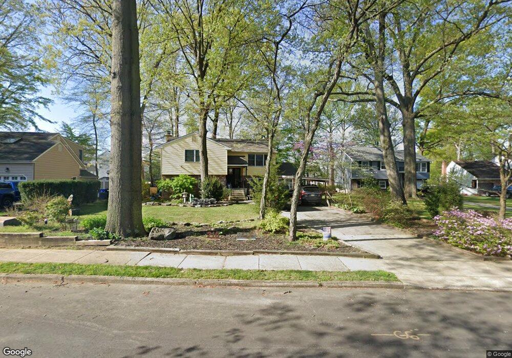
210 Andrews Ave Moorestown, NJ 08057
Estimated Value: $623,899 - $740,000
--
Bed
--
Bath
2,822
Sq Ft
$239/Sq Ft
Est. Value
About This Home
This home is located at 210 Andrews Ave, Moorestown, NJ 08057 and is currently estimated at $674,975, approximately $239 per square foot. 210 Andrews Ave is a home located in Burlington County with nearby schools including Mary E. Roberts Elementary School, Moorestown Upper Elementary School, and William Allen Middle School.
Ownership History
Date
Name
Owned For
Owner Type
Purchase Details
Closed on
Aug 8, 2003
Sold by
Kimble James C and Bennett Constance E
Bought by
Nicolai Jeffrey T and Nicolai Lisa K
Current Estimated Value
Home Financials for this Owner
Home Financials are based on the most recent Mortgage that was taken out on this home.
Original Mortgage
$210,000
Outstanding Balance
$95,162
Interest Rate
6.02%
Mortgage Type
Purchase Money Mortgage
Estimated Equity
$579,813
Purchase Details
Closed on
Jul 27, 1993
Sold by
Kimble James C and Bennett Constance E
Bought by
Kimble James C and Bennett Constance E
Create a Home Valuation Report for This Property
The Home Valuation Report is an in-depth analysis detailing your home's value as well as a comparison with similar homes in the area
Home Values in the Area
Average Home Value in this Area
Purchase History
| Date | Buyer | Sale Price | Title Company |
|---|---|---|---|
| Nicolai Jeffrey T | $275,000 | Congress Title Corp | |
| Kimble James C | -- | -- |
Source: Public Records
Mortgage History
| Date | Status | Borrower | Loan Amount |
|---|---|---|---|
| Open | Nicolai Jeffrey T | $210,000 |
Source: Public Records
Tax History Compared to Growth
Tax History
| Year | Tax Paid | Tax Assessment Tax Assessment Total Assessment is a certain percentage of the fair market value that is determined by local assessors to be the total taxable value of land and additions on the property. | Land | Improvement |
|---|---|---|---|---|
| 2025 | $7,854 | $274,700 | $72,700 | $202,000 |
| 2024 | $7,617 | $274,700 | $72,700 | $202,000 |
| 2023 | $7,617 | $274,700 | $72,700 | $202,000 |
| 2022 | $7,579 | $274,700 | $72,700 | $202,000 |
| 2021 | $7,217 | $274,700 | $72,700 | $202,000 |
| 2020 | $7,433 | $274,700 | $72,700 | $202,000 |
| 2019 | $7,299 | $274,700 | $72,700 | $202,000 |
| 2018 | $5,751 | $274,700 | $72,700 | $202,000 |
| 2017 | $7,097 | $274,700 | $72,700 | $202,000 |
| 2016 | $7,065 | $274,700 | $72,700 | $202,000 |
| 2015 | $6,972 | $274,700 | $72,700 | $202,000 |
| 2014 | $6,630 | $274,700 | $72,700 | $202,000 |
Source: Public Records
Map
Nearby Homes
- 124 E Wilson Ave
- 149 Chalkboard Ct
- 205 Crider Ave Unit 205
- 709 Manor Terrace
- 21 N Lenola Rd
- 14 Vincent Way
- 519 N Lincoln Ave
- 801 E Camden Ave
- 206 E Camden Ave
- 106 Pine St
- 99 Grant Ave
- 531 Covington Terrace
- 114 Grant Ave
- 423 Park Blvd
- 31 S Boulevard Ave
- 316 Farmdale Rd
- 702 E Main St
- 15 S Pine Ave
- 308 Farmdale Rd
- 431 E Park Ave
- 212 Andrews Ave
- 208 Andrews Ave
- 214 Andrews Ave
- 333 Grand Ave
- 206 Andrews Ave
- 335 Grand Ave
- 205 Winstead Ave
- 205 Winstead Ave
- 203 Winstead Ave
- 209 Andrews Ave
- 207 Andrews Ave
- 216 Andrews Ave
- 211 Andrews Ave
- 401 Grand Ave
- 205 Andrews Ave
- 204 Andrews Ave
- 215 Andrews Ave
- 217 Andrews Ave
- 210 Winstead Ave
- 208 Winstead Ave