210 Ashland Dr Woodstock, GA 30189
Estimated Value: $423,000 - $431,604
3
Beds
3
Baths
1,974
Sq Ft
$216/Sq Ft
Est. Value
About This Home
This home is located at 210 Ashland Dr, Woodstock, GA 30189 and is currently estimated at $427,302, approximately $216 per square foot. 210 Ashland Dr is a home located in Cherokee County with nearby schools including Woodstock Elementary School, Woodstock Middle School, and Woodstock High School.
Ownership History
Date
Name
Owned For
Owner Type
Purchase Details
Closed on
May 5, 2015
Sold by
Glass James Scott
Bought by
Freo Georgia Llc
Current Estimated Value
Purchase Details
Closed on
Dec 28, 2001
Sold by
Pulte Hm Corp
Bought by
Glass James S and Glass Sabrina N
Home Financials for this Owner
Home Financials are based on the most recent Mortgage that was taken out on this home.
Original Mortgage
$172,675
Interest Rate
6.85%
Create a Home Valuation Report for This Property
The Home Valuation Report is an in-depth analysis detailing your home's value as well as a comparison with similar homes in the area
Home Values in the Area
Average Home Value in this Area
Purchase History
| Date | Buyer | Sale Price | Title Company |
|---|---|---|---|
| Freo Georgia Llc | $152,600 | -- | |
| Glass James S | $169,300 | -- |
Source: Public Records
Mortgage History
| Date | Status | Borrower | Loan Amount |
|---|---|---|---|
| Previous Owner | Glass James S | $172,675 |
Source: Public Records
Tax History Compared to Growth
Tax History
| Year | Tax Paid | Tax Assessment Tax Assessment Total Assessment is a certain percentage of the fair market value that is determined by local assessors to be the total taxable value of land and additions on the property. | Land | Improvement |
|---|---|---|---|---|
| 2024 | $4,429 | $156,236 | $34,000 | $122,236 |
| 2023 | $839 | $153,480 | $33,200 | $120,280 |
| 2022 | $3,683 | $125,280 | $28,000 | $97,280 |
| 2021 | $2,620 | $104,120 | $23,960 | $80,160 |
| 2020 | $2,981 | $93,240 | $21,200 | $72,040 |
| 2019 | $2,160 | $85,880 | $19,200 | $66,680 |
| 2018 | $2,085 | $82,360 | $18,000 | $64,360 |
| 2017 | $2,015 | $197,400 | $18,000 | $60,960 |
| 2016 | $1,571 | $152,600 | $18,000 | $43,040 |
| 2015 | $1,770 | $170,400 | $17,200 | $50,960 |
| 2014 | -- | $158,400 | $17,200 | $46,160 |
Source: Public Records
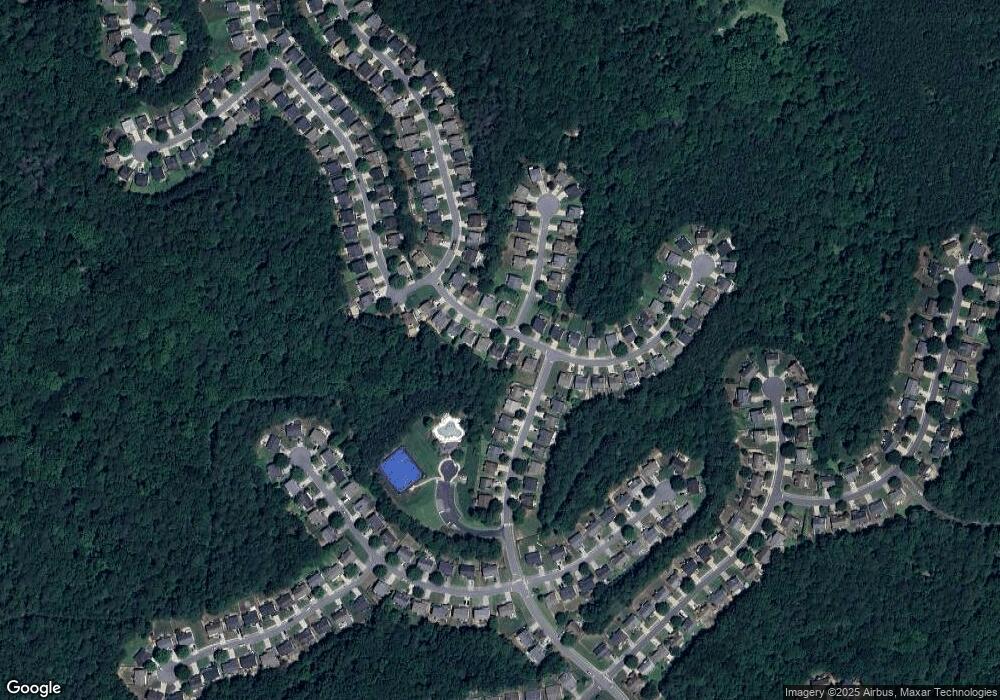
Map
Nearby Homes
- 527 Keeneland Ave
- 240 Ashland Dr
- 900 Santa Anita Dr
- 518 Wallnut Hall Cove
- 122 Santa Anita Trail
- 622 Keeneland Terrace
- 103 Whirlaway Place Unit 5
- 5059 Winding Hills Ln
- 2295 Ansley Ct
- 824 Hillcrest Ln
- 569 Fairway Dr
- 3525 Stone Cliff Way
- 200 Waterford Falls Dr
- 1307 Cobblestone Ln
- 3511 Stone Cliff Way
- 1309 Cobblestone Ln
- 505 Knoll Pointe
- 208 Ashland Dr
- 212 Ashland Dr
- 206 Ashland Dr
- 214 Ashland Dr Unit 3
- 207 Ashland Dr
- 204 Ashland Dr Unit 38
- 204 Ashland Dr
- 583 Ashland Pkwy
- 209 Ashland Dr
- 0 Ashland Dr Unit 8703844
- 0 Ashland Dr Unit 8685298
- 0 Ashland Dr Unit 8640291
- 0 Ashland Dr Unit 8583631
- 0 Ashland Dr Unit 8580569
- 0 Ashland Dr Unit 8410004
- 0 Ashland Dr Unit 8379712
- 0 Ashland Dr Unit 7238930
- 0 Ashland Dr Unit 8339571
- 0 Ashland Dr Unit 8893354
- 0 Ashland Dr Unit 7407239