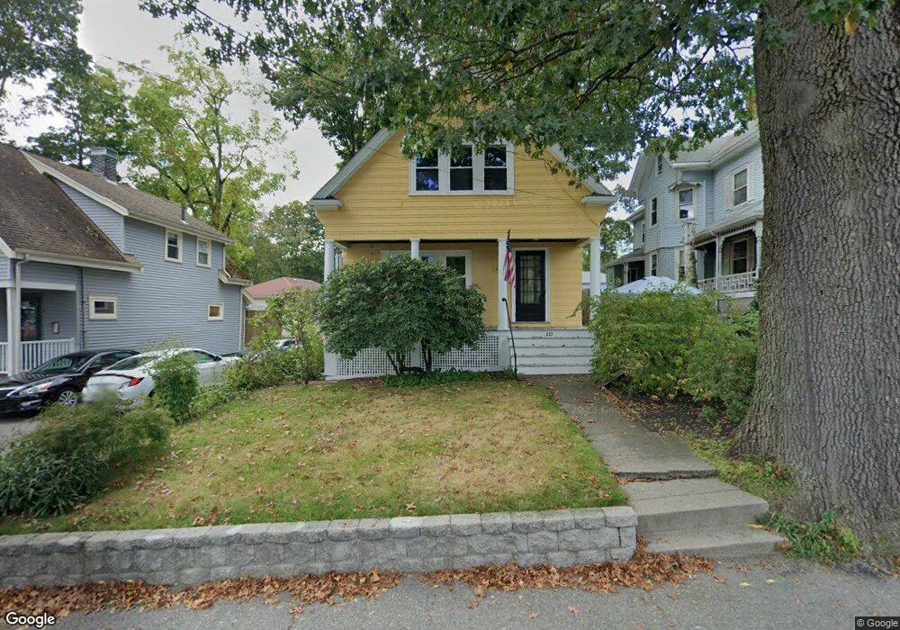
210 Bacon St Waltham, MA 02451
Highlands NeighborhoodEstimated Value: $752,286 - $871,000
3
Beds
1
Bath
1,368
Sq Ft
$582/Sq Ft
Est. Value
About This Home
This home is located at 210 Bacon St, Waltham, MA 02451 and is currently estimated at $796,322, approximately $582 per square foot. 210 Bacon St is a home located in Middlesex County with nearby schools including Thomas R Plympton Elementary School, John F Kennedy Middle School, and Waltham Sr High School.
Ownership History
Date
Name
Owned For
Owner Type
Purchase Details
Closed on
Sep 28, 1989
Sold by
Mcpherson Paul R
Bought by
Barrett Bradley G
Current Estimated Value
Home Financials for this Owner
Home Financials are based on the most recent Mortgage that was taken out on this home.
Original Mortgage
$121,600
Interest Rate
9.92%
Mortgage Type
Purchase Money Mortgage
Create a Home Valuation Report for This Property
The Home Valuation Report is an in-depth analysis detailing your home's value as well as a comparison with similar homes in the area
Home Values in the Area
Average Home Value in this Area
Purchase History
| Date | Buyer | Sale Price | Title Company |
|---|---|---|---|
| Barrett Bradley G | $152,000 | -- |
Source: Public Records
Mortgage History
| Date | Status | Borrower | Loan Amount |
|---|---|---|---|
| Open | Barrett Bradley G | $50,000 | |
| Open | Barrett Bradley G | $120,000 | |
| Closed | Barrett Bradley G | $121,600 |
Source: Public Records
Tax History Compared to Growth
Tax History
| Year | Tax Paid | Tax Assessment Tax Assessment Total Assessment is a certain percentage of the fair market value that is determined by local assessors to be the total taxable value of land and additions on the property. | Land | Improvement |
|---|---|---|---|---|
| 2025 | $6,165 | $627,800 | $362,200 | $265,600 |
| 2024 | $6,033 | $625,800 | $362,200 | $263,600 |
| 2023 | $5,952 | $576,700 | $328,600 | $248,100 |
| 2022 | $6,070 | $544,900 | $308,500 | $236,400 |
| 2021 | $5,747 | $507,700 | $281,700 | $226,000 |
| 2020 | $5,631 | $464,000 | $255,000 | $209,000 |
| 2019 | $5,430 | $428,900 | $255,000 | $173,900 |
| 2018 | $5,270 | $392,500 | $236,100 | $156,400 |
| 2017 | $4,660 | $371,000 | $214,600 | $156,400 |
| 2016 | $4,459 | $364,300 | $207,900 | $156,400 |
| 2015 | $4,439 | $338,100 | $194,500 | $143,600 |
Source: Public Records
Map
Nearby Homes
- 14 Claremont St
- 326 Bacon St
- 37 Summit St
- 91 Prentice St
- 14 Willard St
- 160 School St Unit 3-1
- 15 Howard St
- 43-45 Welligton Unit 3
- 158 Church St
- 214 Church St
- 70 School St
- 15 Banks St Unit 4
- 49 Lincoln St
- 32 Harvard St Unit 2
- 16 Winter St Unit 26C
- 511 Lexington St
- 948 Main St Unit 209
- 948 Main St Unit 105
- 7-11.5 Felton
- 39 Floyd St Unit 2
- 206 Bacon St
- 212 Bacon St
- 200 Bacon St
- 33 Hazel St
- 33 Hazel St Unit 33
- 33 Hazel St Unit 31
- 29 Hazel St Unit 31
- 37 Hazel St
- 214 Bacon St
- 214 Bacon St Unit 1
- 214 Bacon St Unit 2
- 110 Dale St
- 209 Bacon St
- 94 Dale St Unit 1
- 94 Dale St
- 94 Dale St Unit 2
- 114 Dale St Unit 116
- 90 Dale St
- 20 Marion St
- 222 Bacon St