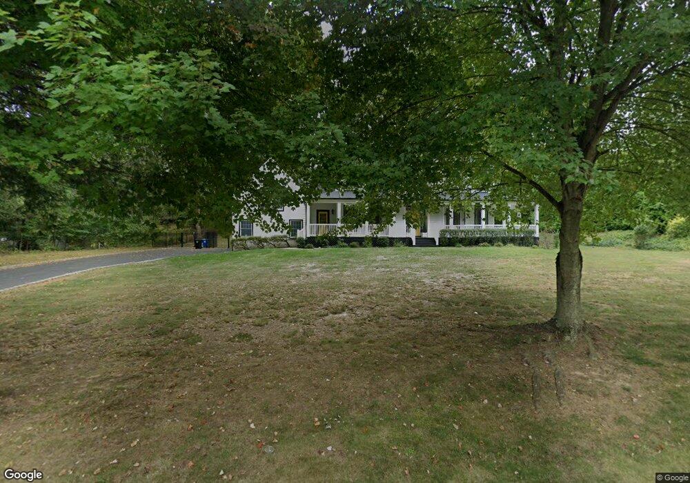
210 Bamm Hollow Rd Middletown, NJ 07748
New Monmouth NeighborhoodEstimated Value: $1,249,117 - $1,619,000
4
Beds
2
Baths
2,966
Sq Ft
$458/Sq Ft
Est. Value
About This Home
This home is located at 210 Bamm Hollow Rd, Middletown, NJ 07748 and is currently estimated at $1,358,779, approximately $458 per square foot. 210 Bamm Hollow Rd is a home located in Monmouth County with nearby schools including Nut Swamp Elementary School, Thompson Middle School, and Middletown - South High School.
Ownership History
Date
Name
Owned For
Owner Type
Purchase Details
Closed on
Aug 15, 2001
Sold by
Mason and Jennings
Bought by
Lamb Robert and Lamb Elizabeth
Current Estimated Value
Home Financials for this Owner
Home Financials are based on the most recent Mortgage that was taken out on this home.
Original Mortgage
$275,000
Outstanding Balance
$107,351
Interest Rate
7.16%
Mortgage Type
Purchase Money Mortgage
Estimated Equity
$1,251,428
Create a Home Valuation Report for This Property
The Home Valuation Report is an in-depth analysis detailing your home's value as well as a comparison with similar homes in the area
Home Values in the Area
Average Home Value in this Area
Purchase History
| Date | Buyer | Sale Price | Title Company |
|---|---|---|---|
| Lamb Robert | $585,000 | -- |
Source: Public Records
Mortgage History
| Date | Status | Borrower | Loan Amount |
|---|---|---|---|
| Open | Lamb Robert | $275,000 |
Source: Public Records
Tax History Compared to Growth
Tax History
| Year | Tax Paid | Tax Assessment Tax Assessment Total Assessment is a certain percentage of the fair market value that is determined by local assessors to be the total taxable value of land and additions on the property. | Land | Improvement |
|---|---|---|---|---|
| 2025 | $16,591 | $1,071,100 | $475,000 | $596,100 |
| 2024 | $17,130 | $1,008,600 | $423,500 | $585,100 |
| 2023 | $17,130 | $985,600 | $407,200 | $578,400 |
| 2022 | $16,657 | $850,800 | $300,000 | $550,800 |
| 2021 | $16,657 | $800,800 | $305,000 | $495,800 |
| 2020 | $16,347 | $764,600 | $280,000 | $484,600 |
| 2019 | $16,210 | $767,500 | $280,000 | $487,500 |
| 2018 | $16,140 | $744,800 | $280,000 | $464,800 |
| 2017 | $15,524 | $730,900 | $275,000 | $455,900 |
| 2016 | $15,865 | $744,500 | $300,000 | $444,500 |
| 2015 | $14,961 | $700,400 | $280,000 | $420,400 |
| 2014 | $14,708 | $671,900 | $270,000 | $401,900 |
Source: Public Records
Map
Nearby Homes
- 93 Wallace Rd
- 20 Cormorant Dr
- 74 Fish Hawk Dr
- 7 Cormorant Dr
- 234 Borden Rd
- 45 Galloping Hill Cir
- 30 Winchester Ln
- 33 Winchester Ln
- 78 Ironwood Ct
- 4 Takolusa Dr
- 83 Green Meadow Blvd
- 8 Church St
- 164 Heights Terrace
- 185 Ballantine Rd
- 237 Grand Cypress Ct
- 911 Middletown Lincroft Rd
- 126 Metedeconk Ct
- 17 Winding Brook Way
- 4 E Parkway Place
- 111 Crawfords Corner Rd
- 212 Bamm Hollow Rd
- 1 Crane Ct
- 9 Crane Ct
- 218 Red Hill Rd
- 17 Crane Ct
- 223 Bamm Hollow Rd
- 214 Bamm Hollow Rd
- 227 Bamm Hollow Rd
- 25 Crane Ct
- 220 Red Hill Rd
- 15 Lafayette Ct
- 9 Lafayette Ct
- 14 Crane Ct
- 231 Bamm Hollow Rd
- 21 Lafayette Ct
- 206 Bamm Hollow Rd
- 214 Red Hill Rd
- 33 Crane Ct
- 90 Bunker Hill Dr
- 27 Lafayette Ct