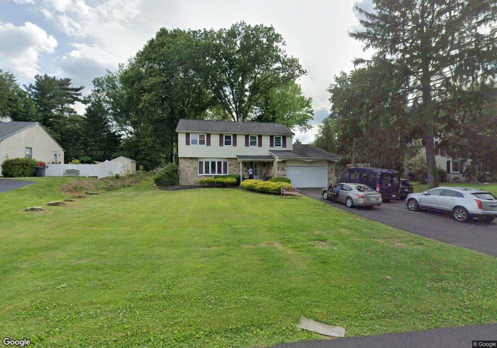
210 Barnsley Ave Huntingdon Valley, PA 19006
Lower Moreland NeighborhoodEstimated Value: $635,848
4
Beds
3
Baths
1,942
Sq Ft
$327/Sq Ft
Est. Value
About This Home
This home is located at 210 Barnsley Ave, Huntingdon Valley, PA 19006 and is currently estimated at $635,848, approximately $327 per square foot. 210 Barnsley Ave is a home located in Montgomery County with nearby schools including Pine Road Elementary School, Murray Avenue School, and Lower Moreland High School.
Ownership History
Date
Name
Owned For
Owner Type
Purchase Details
Closed on
Mar 28, 2011
Sold by
Lynch Henry H and Lynch Evelyn V
Bought by
Crms Inc
Current Estimated Value
Purchase Details
Closed on
Jul 21, 2006
Sold by
Not Provided
Bought by
Not Provided
Purchase Details
Closed on
Jun 29, 2006
Sold by
Not Provided
Bought by
Not Provided
Create a Home Valuation Report for This Property
The Home Valuation Report is an in-depth analysis detailing your home's value as well as a comparison with similar homes in the area
Home Values in the Area
Average Home Value in this Area
Purchase History
| Date | Buyer | Sale Price | Title Company |
|---|---|---|---|
| Crms Inc | -- | None Available | |
| Not Provided | $385,000 | None Available | |
| Not Provided | $385,000 | None Available |
Source: Public Records
Mortgage History
| Date | Status | Borrower | Loan Amount |
|---|---|---|---|
| Closed | Not Provided | $0 |
Source: Public Records
Tax History Compared to Growth
Tax History
| Year | Tax Paid | Tax Assessment Tax Assessment Total Assessment is a certain percentage of the fair market value that is determined by local assessors to be the total taxable value of land and additions on the property. | Land | Improvement |
|---|---|---|---|---|
| 2025 | -- | $182,030 | $64,120 | $117,910 |
| 2024 | -- | $182,030 | $64,120 | $117,910 |
| 2023 | $0 | $182,030 | $64,120 | $117,910 |
| 2022 | $350 | $182,030 | $64,120 | $117,910 |
| 2021 | $350 | $182,030 | $64,120 | $117,910 |
| 2020 | $290 | $182,030 | $64,120 | $117,910 |
| 2019 | $0 | $182,030 | $64,120 | $117,910 |
| 2018 | $0 | $182,030 | $64,120 | $117,910 |
| 2017 | $0 | $182,030 | $64,120 | $117,910 |
| 2016 | -- | $182,030 | $64,120 | $117,910 |
| 2015 | -- | $182,030 | $64,120 | $117,910 |
| 2014 | -- | $182,030 | $64,120 | $117,910 |
Source: Public Records
Map
Nearby Homes
- 421 Jonathan Place
- 0 Welsh Rd Unit 310 PAPH2537678
- 2270 Dale Rd
- 114 Almatt Place
- 1861 Lippincott Rd
- 21 Primrose Ln
- 9902 Player Dr
- 254 Carson Terrace
- 506 Carson Terrace
- 429 Carson Terrace
- 305 Carson Terrace
- 207 Carson Terrace
- 523 Carson Terrace
- 548 Carson Terrace
- 401 Carson Terrace Unit 401
- 272 Carson Terrace Unit 272
- 423 Carson Terrace
- 554 Carson Terrace
- 2440 Walton Rd
- 657 Red Lion Rd
- 196 Barnsley Ave
- 224 Barnsley Ave
- 232 Barnsley Ave
- 174 Barnsley Ave
- 195 Welsh Rd
- 187 Welsh Rd
- 203 Welsh Rd
- 215 Barnsley Ave
- 201 Barnsley Ave Unit 26
- 211 Welsh Rd
- 195 Barnsley Ave
- 175 Welsh Rd
- 235 Barnsley Ave
- 240 Barnsley Ave
- 154 Barnsley Ave
- 2253 Stahl Rd
- 153 Barnsley Ave
- 2315 Stahl Rd
- 2151 Saint Alberts Cir
- 202 Ely Ave