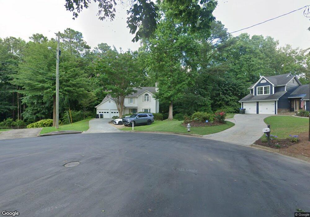
210 Birchmead Dr Roswell, GA 30075
Estimated Value: $628,000 - $828,000
4
Beds
4
Baths
2,506
Sq Ft
$283/Sq Ft
Est. Value
About This Home
This home is located at 210 Birchmead Dr, Roswell, GA 30075 and is currently estimated at $709,836, approximately $283 per square foot. 210 Birchmead Dr is a home located in Fulton County with nearby schools including Roswell North Elementary School, Crabapple Middle School, and Roswell High School.
Ownership History
Date
Name
Owned For
Owner Type
Purchase Details
Closed on
Feb 5, 2021
Sold by
Central Bank Custodian Fbo
Bought by
Allen Todd
Current Estimated Value
Home Financials for this Owner
Home Financials are based on the most recent Mortgage that was taken out on this home.
Original Mortgage
$307,500
Outstanding Balance
$274,787
Interest Rate
2.65%
Mortgage Type
New Conventional
Estimated Equity
$435,049
Purchase Details
Closed on
Nov 27, 2019
Sold by
Paterson Nino
Bought by
Central Bank Custodian Fbo
Purchase Details
Closed on
Nov 23, 2009
Sold by
Whisenant Joel S and Whisenant Beverly L
Bought by
Paterson Nino
Home Financials for this Owner
Home Financials are based on the most recent Mortgage that was taken out on this home.
Original Mortgage
$240,856
Interest Rate
4.98%
Mortgage Type
FHA
Create a Home Valuation Report for This Property
The Home Valuation Report is an in-depth analysis detailing your home's value as well as a comparison with similar homes in the area
Home Values in the Area
Average Home Value in this Area
Purchase History
| Date | Buyer | Sale Price | Title Company |
|---|---|---|---|
| Allen Todd | $410,000 | -- | |
| Central Bank Custodian Fbo | $196,000 | -- | |
| Paterson Nino | $245,300 | -- |
Source: Public Records
Mortgage History
| Date | Status | Borrower | Loan Amount |
|---|---|---|---|
| Open | Allen Todd | $307,500 | |
| Previous Owner | Paterson Nino | $240,856 |
Source: Public Records
Tax History Compared to Growth
Tax History
| Year | Tax Paid | Tax Assessment Tax Assessment Total Assessment is a certain percentage of the fair market value that is determined by local assessors to be the total taxable value of land and additions on the property. | Land | Improvement |
|---|---|---|---|---|
| 2025 | $1,217 | $246,000 | $53,760 | $192,240 |
| 2023 | $7,903 | $287,920 | $53,760 | $234,160 |
| 2022 | $4,315 | $164,000 | $32,640 | $131,360 |
| 2021 | $944 | $200,080 | $31,560 | $168,520 |
| 2020 | $5,010 | $153,000 | $27,920 | $125,080 |
| 2019 | $424 | $135,360 | $22,560 | $112,800 |
| 2018 | $3,222 | $132,200 | $22,040 | $110,160 |
| 2017 | $1,972 | $79,520 | $18,200 | $61,320 |
| 2016 | $1,970 | $79,520 | $18,200 | $61,320 |
| 2015 | $2,412 | $79,520 | $18,200 | $61,320 |
| 2014 | $2,047 | $79,520 | $18,200 | $61,320 |
Source: Public Records
Map
Nearby Homes
- 200 Birchmead Dr
- 215 Birchmead Dr
- 145 Wavetree Dr
- 205 Birchmead Dr
- 155 Wavetree Dr Unit 1
- 125 Wavetree Dr
- 165 Wavetree Dr
- 115 Wavetree Dr
- 175 Wavetree Dr
- 105 Wavetree Dr
- 140 Wavetree Dr Unit 1
- 185 Wavetree Dr
- 150 Wavetree Dr Unit 1
- 130 Wavetree Dr Unit 1
- 160 Wavetree Dr
- 170 Wavetree Dr
- 120 Wavetree Dr
- 180 Wavetree Dr Unit 1
- 205 Wavetree Dr
- 10645 Woodstock Rd